


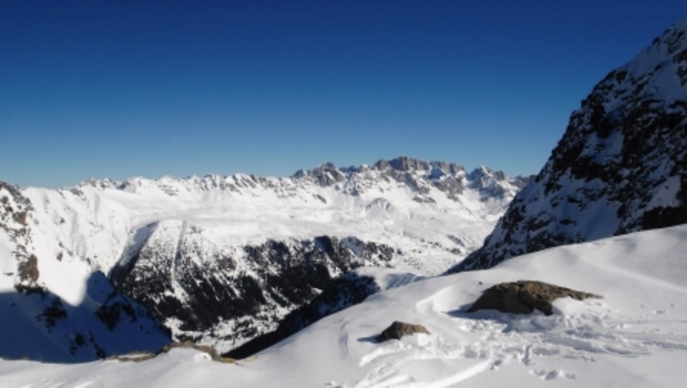
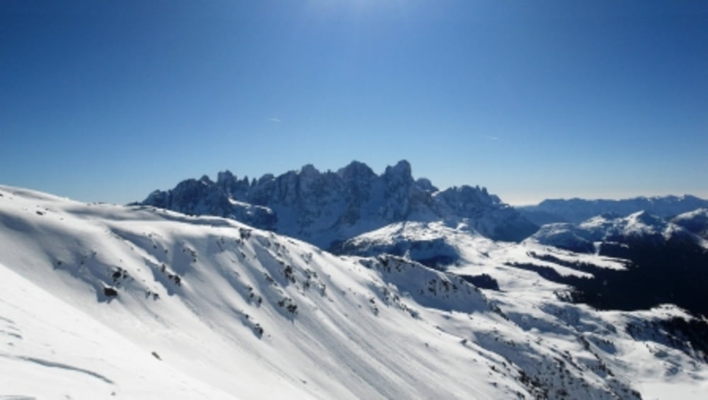
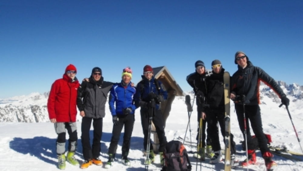
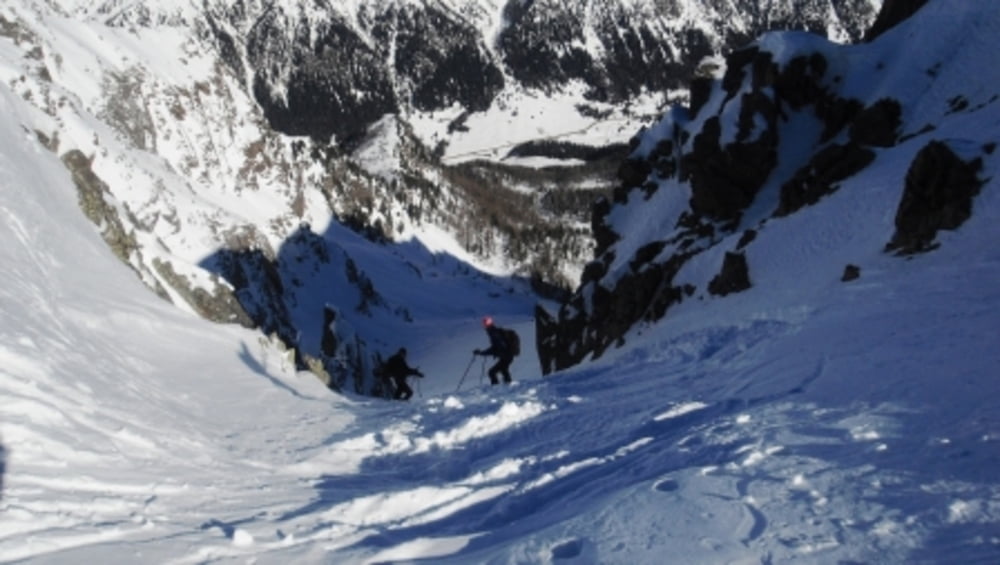
Si parte dal parcheggio del bar ristorante Negritella, il località Alochet (quota 1770 metri). Si sale verso il bosco seguendo la pista da fondo. Già dai primi passi si staglia davanti a noi la piramide del Cimon di Bocche. Si continua a salire puntando poi a destra per raggiungere la base della piccola valle che porta alla “Forcella piccola” (quota 2543 metri). Qui si piega a sinistra per risalire la dorsale che porta direttamente in vetta (quota 2745). In questo tratto c'è pericolo di valanghe. Attraversare il pendio sempre nelle ore mattutine quando la coltre nevosa non è stata ancora riscaldata dal sole. Se la neve è molto compatta usare i rampant. Per la discesa ci sono varie possibilità. Si può ripercorrere l'itinerario della salita. Si può utilizzare nella discesa il ripido ma ampio canale che conduce direttamente nel vallone percorso in salita. Si rientra al bar ristorante Negritella.
Tour gallery
Tour map and elevation profile
Minimum height 1818 m
Maximum height 2794 m
More about the tour author
|
|
bonani |
Comments

Raggiungere Moena attraverso la SS 48 delle Dolomiti. In prossimità del paese prendere la circonvallazione e proseguire a destra seguendo le indicazioni per Passo San Pellegrino (SS346). Percorrere la strada fino a raggiungere il Ristorante Negritella (1770m ) facilmente individuabile sulla destra in località Alochet.
GPS tracks
Trackpoints-
GPX / Garmin Map Source (gpx) download
-
TCX / Garmin Training Center® (tcx) download
-
CRS / Garmin Training Center® (crs) download
-
Google Earth (kml) download
-
G7ToWin (g7t) download
-
TTQV (trk) download
-
Overlay (ovl) download
-
Fugawi (txt) download
-
Kompass (DAV) Track (tk) download
-
Track data sheet (pdf) download
-
Original file of the author (gpx) download
More about the tour author
|
|
bonani |
Add to my favorites
Remove from my favorites
Edit tags
Open track
My score
Rate