


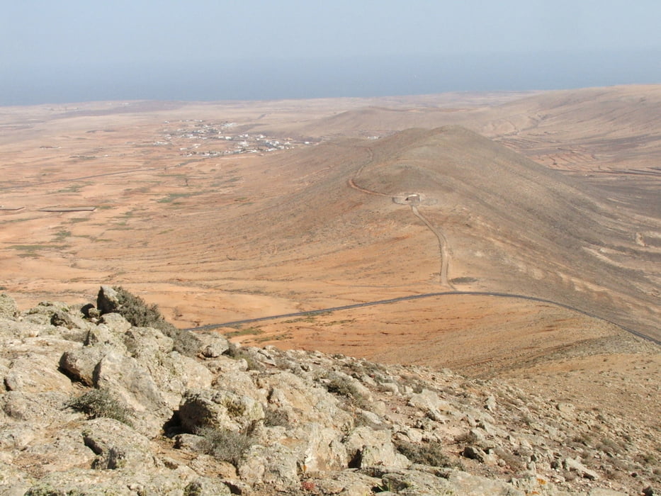
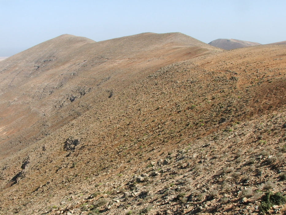
Von Tindaya nach La Oliva auf dem GR 131, dann weglos steil hinauf zum Morro Carnero. Auf dem Kamm nach Westen, steiler Abstieg über Geröll und bis zur Landstraße.
Warnung: der Aufstieg zum Morro Carnero und besonders danach der Abstieg sind wegen des Gerölls gefährlich!
Variante: nur von Tindaya bis La Oliva (8,1 km/ 117 Hm, Dauer 02:00), Einstufung dann nicht Bergtour, sondern Wanderung.
Tour gallery

Tour map and elevation profile
Minimum height 145 m
Maximum height 526 m
More about the tour author
|
|
lothardomnik |
Comments

Buslinie 07 von Puerto del Rosario nach Tindaya.
Vom Endpunkt der Wanderung oder von La Oliva Buslinie 07 nach Puerto del Rosario.
GPS tracks
Trackpoints-
GPX / Garmin Map Source (gpx) download
-
TCX / Garmin Training Center® (tcx) download
-
CRS / Garmin Training Center® (crs) download
-
Google Earth (kml) download
-
G7ToWin (g7t) download
-
TTQV (trk) download
-
Overlay (ovl) download
-
Fugawi (txt) download
-
Kompass (DAV) Track (tk) download
-
Track data sheet (pdf) download
-
Original file of the author (gpx) download
More about the tour author
|
|
lothardomnik |
Add to my favorites
Remove from my favorites
Edit tags
Open track
My score
Rate