


Erster 100er 2013
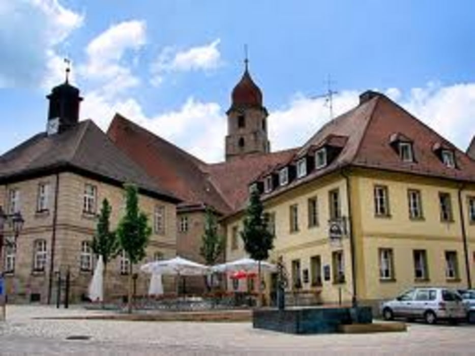
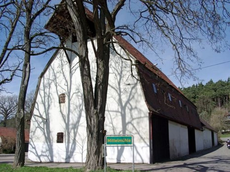
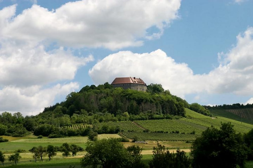
Unterwegs im Rangaugebiet ( "Neues und Altes" wieder entdeckt! )
# Der Rangau ist ein Name für die Landschaft zwischen dem Großraum Nürnberg und der Frankenhöhe in Mittelfranken. Er umfasst den Landkreis Fürth und Teile des Landkreises Ansbach. Teilweise wird auch noch der westliche Landkreis Roth bis zur Altmühl als südlicher Rangau zum Rangau gezählt. ( aus Wikipedia ) #
Schöne Runde auf Teils vielen kleinen Nebenstraßen, landschaftlich sehr schön!
Viel Spaß!
Further information at
http://de.wikipedia.org/wiki/RangauTour gallery
Tour map and elevation profile
Minimum height 303 m
Maximum height 512 m
More about the tour author
|
|
FLU |
Comments

GPS tracks
Trackpoints-
GPX / Garmin Map Source (gpx) download
-
TCX / Garmin Training Center® (tcx) download
-
CRS / Garmin Training Center® (crs) download
-
Google Earth (kml) download
-
G7ToWin (g7t) download
-
TTQV (trk) download
-
Overlay (ovl) download
-
Fugawi (txt) download
-
Kompass (DAV) Track (tk) download
-
Track data sheet (pdf) download
-
Original file of the author (gpx) download
More about the tour author
|
|
FLU |
Add to my favorites
Remove from my favorites
Edit tags
Open track
My score
Rate