


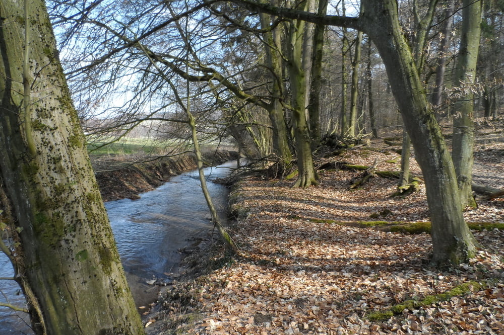
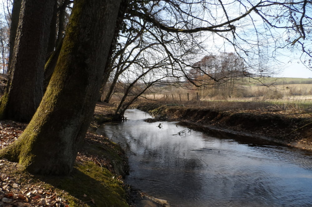
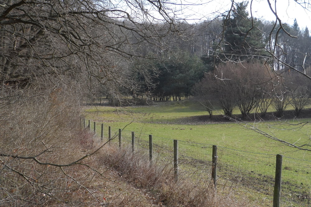
Leichte Rundwanderung um die Steinkaute bei Groß-Bieberau im nördlichen Odenwald. Der Weg führt zunächst an einem kleinen Bach entlang in das Fischbachtal mit sehr schöner Aussicht auf das Schloss Lichtenberg. Unterhalb des Schlossen liegt ein kleiner Campingplatz mit einem Naturschwimmbad. Die Tour geht dann weiter um die Steinkaute herum und zurück zum Ausgangspunkt.
Further information at
http://de.wikipedia.org/wiki/Schloss_Lichtenberg_(Hessen)Tour gallery

Tour map and elevation profile
Minimum height 158 m
Maximum height 296 m
More about the tour author
|
|
riemchens |
Comments

Auf der Bundesstraße durch Reinheim nach Groß-Bieberau. In Groß-Bieberau rechts ab in Richtung Lichtenberg.
GPS tracks
Trackpoints-
GPX / Garmin Map Source (gpx) download
-
TCX / Garmin Training Center® (tcx) download
-
CRS / Garmin Training Center® (crs) download
-
Google Earth (kml) download
-
G7ToWin (g7t) download
-
TTQV (trk) download
-
Overlay (ovl) download
-
Fugawi (txt) download
-
Kompass (DAV) Track (tk) download
-
Track data sheet (pdf) download
-
Original file of the author (gpx) download
More about the tour author
|
|
riemchens |
Add to my favorites
Remove from my favorites
Edit tags
Open track
My score
Rate