


-------------------------------------------------------------------------------------------------------------------------------------------
Quelle der GPS Touren ist die Almeria Bike Station
www.almeria-bike-tours.de
Wunderbare Betreuung und Verköstigung auf Haubenniveau durch Christel Steinhauser und Familie.
Shuttledienste und Verleih von MTBs und Quartier erfolgte ebenfalls durch die Bikestation
-------------------------------------------------------------------------------------------------------------------------------------------
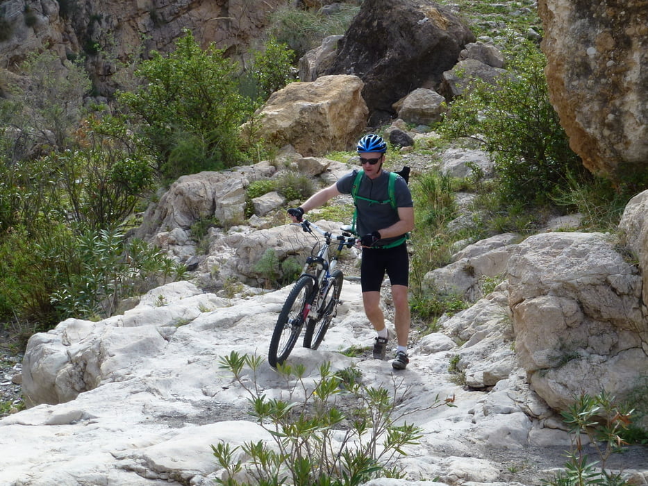
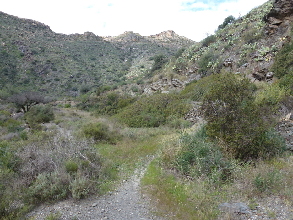
Tourstart in Pobre las Venta, dann über die Sierra de Cabrera über Forstwege und Sandpisten teilweise auch Wanderwege nach Carboneras am Meer. Dort sind mehrere Lokale zum Einkehren.
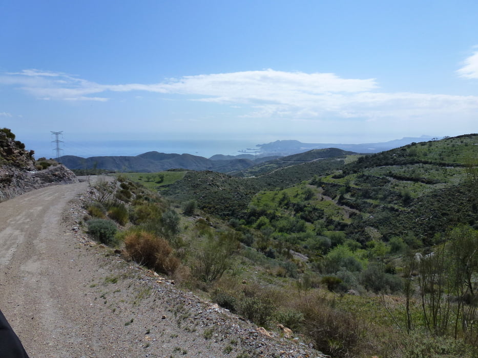
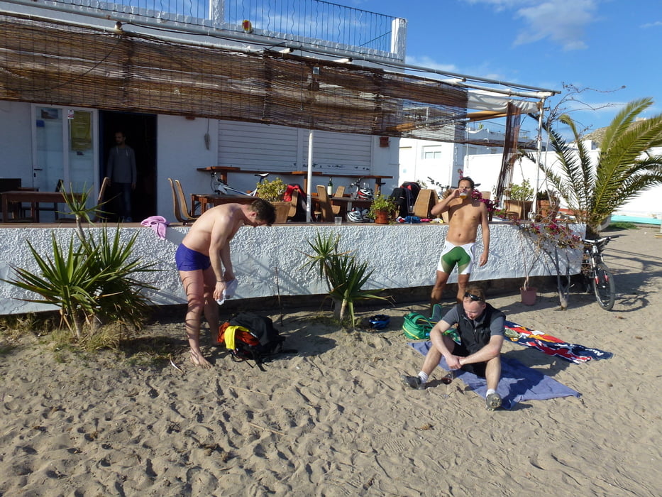
Dann auf der Strasse nach Agua Amarga weiter zum Endpunkt der Tour. Direkt am Strand laden ein paar Tabernas zum Verweilen ein.
Tour gallery
Tour map and elevation profile
Minimum height 3 m
Maximum height 816 m
More about the tour author
|
|
abauchinger |
Comments

GPS tracks
Trackpoints-
GPX / Garmin Map Source (gpx) download
-
TCX / Garmin Training Center® (tcx) download
-
CRS / Garmin Training Center® (crs) download
-
Google Earth (kml) download
-
G7ToWin (g7t) download
-
TTQV (trk) download
-
Overlay (ovl) download
-
Fugawi (txt) download
-
Kompass (DAV) Track (tk) download
-
Track data sheet (pdf) download
-
Original file of the author (tcx) download
More about the tour author
|
|
abauchinger |
Add to my favorites
Remove from my favorites
Edit tags
Open track
My score
Rate