


Wanderung Nr. 26 aus dem Rother Wanderführer "Ardennen - Hohes Venn:
50 ausgewählte Mittelgebirgswanderungen in Belgiens wildem Südosten" von Mathieu Klos.
Ich habe unsere Wanderung am Rechner gegen Wanderungsende leicht nachgearbeitet, damit sie der Buchvorlage entspricht.
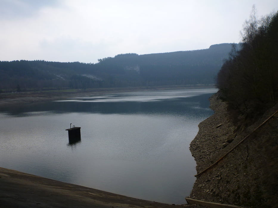
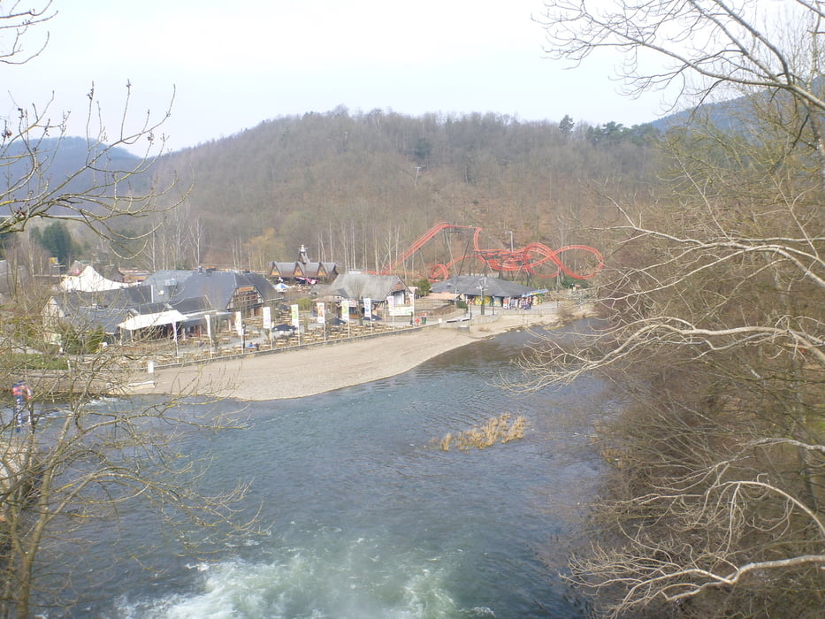
Die Wanderung war zu Ostern 2013 unerwarteterweise eine Winterwanderung. Stausee und Wald waren sehr schön. Etwas störend war nur die häufig zu hörende Musik aus dem Freizeitpark in Coo, dazu noch ein paar Quad-Fahrer die in der Gegend lärmten.
Trotzdem landschaftlich schön und die Steigungen auch anspruchsvoll. Gutes wasserfestes Schuhwerk sinnvoll, zumindest im Winter!
Tour gallery
Tour map and elevation profile
Minimum height 214 m
Maximum height 489 m
More about the tour author
|
|
Zoellig |
Comments

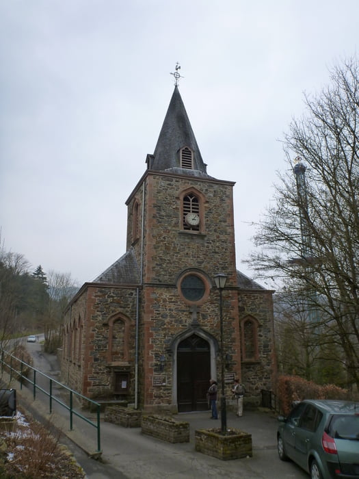
Start an der Brücke in Coo
GPS tracks
Trackpoints-
GPX / Garmin Map Source (gpx) download
-
TCX / Garmin Training Center® (tcx) download
-
CRS / Garmin Training Center® (crs) download
-
Google Earth (kml) download
-
G7ToWin (g7t) download
-
TTQV (trk) download
-
Overlay (ovl) download
-
Fugawi (txt) download
-
Kompass (DAV) Track (tk) download
-
Track data sheet (pdf) download
-
Original file of the author (gpx) download
More about the tour author
|
|
Zoellig |
Add to my favorites
Remove from my favorites
Edit tags
Open track
My score
Rate