Login

Forgotten password?

Cookies have to be accepted!
Your browser's cookie functionality is disabled. Please enable this functionality.

Not a member yet?

Register now
Login

Available for registred users only

Log in to use this feature.

Forgotten password?

Cookies have to be accepted!
Your browser's cookie functionality is disabled. Please enable this functionality.

Not a member yet?

Register now
Filter
Categories
Advanced filters
  • Distance (km)
  • Height
Save filters Reset filter

TrackRank

QRCode

Technical data

Distance12,4 km Height653 m Way down653 m Duration00:00 h:m Date07.04.2013
Scores Author Landscape Fun factor Fitness Technique

Statistics

456 Views Scores 45 Downloads Average
Rate
  • Track data sheet
  • Directions
  • Downloads

Zur Jause Buchwald

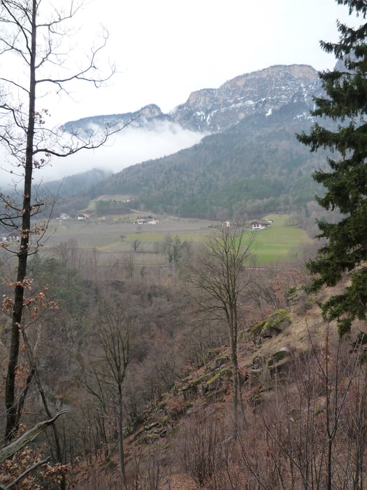
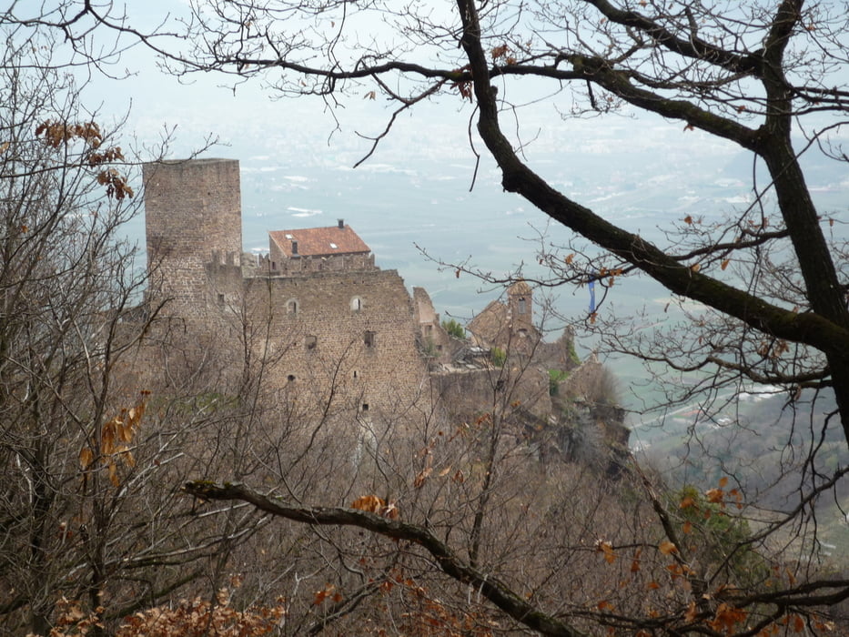
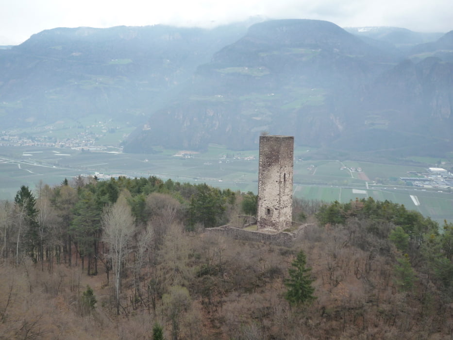
Hier mal anders Start vom Hotel Korb aus über Ruine Boymont zur Jause. Weiter über Predonico und dann zur Burg Hoch Eppan.

Schöne Wanderung mit tollen Ausblicken!

Viel Spaß!


Gelaufen 4-2013, Track bereinigt!


Further information at

http://at.wetter.com/italien/bozen/IT0TA0010.html

Tour gallery

Tour map and elevation profile

  • Open Street Map
  • Google
Minimum height 438 m Maximum height 972 m Detailed view

More about the tour author

FLU
Member since 2009

Send private message

Comments

GPS tracks

Trackpoints
  • GPX / Garmin Map Source (gpx) download
  • TCX / Garmin Training Center® (tcx) download
  • CRS / Garmin Training Center® (crs) download
  • Google Earth (kml) download
  • G7ToWin (g7t) download
  • TTQV (trk) download
  • Overlay (ovl) download
  • Fugawi (txt) download
  • Kompass (DAV) Track (tk) download
  • Track data sheet (pdf) download
  • Original file of the author (gpx) download

More about the tour author

FLU
Member since 2009

Send private message
Share track
Add to my favorites
Remove from my favorites
Edit tags
My score
Rate
Track: Zur Jause Buchwald
Type: Hiking
Distance: 12,4 km
Evaluated on:
Duration:
Day(s)
Hour(s)
Minute(s)
Score: Landscape Fun factor Fitness Technique