Login

Forgotten password?

Cookies have to be accepted!
Your browser's cookie functionality is disabled. Please enable this functionality.

Not a member yet?

Register now
Login

Available for registred users only

Log in to use this feature.

Forgotten password?

Cookies have to be accepted!
Your browser's cookie functionality is disabled. Please enable this functionality.

Not a member yet?

Register now
Filter
Categories
Advanced filters
  • Distance (km)
  • Height
Save filters Reset filter

TrackRank

QRCode

Technical data

Distance43,1 km Height691 m Way down690 m Duration00:00 h:m Date11.04.2013
Scores Author User Landscape Fun factor Fitness Technique

Statistics

517 Views 1 Score 15 Downloads 3.00 Average
Rate
  • Track data sheet
  • Directions
  • Downloads
Ruta que recorre parte del río Huelva y pasa por dos de sus embalses: La Minilla y El Gergal. Paisajes muy bonitos y totalmente ciclable. Hay dos tramos de asfalto, pero prácticamente sin tráfico.

Tour gallery

Tour map and elevation profile

  • Open Street Map
  • Google
Minimum height 65 m Maximum height 377 m Detailed view

More about the tour author

juliobtt
Member since 2013

Send private message

Comments

Hartwig2 on 22.03.2020

Gesperrt, Cerrado

Der Startpunkt passt nicht und ist die Abfahrt zum Wasserkraftwerk von der Nebenstraße. Einen Parkplatz gibt es dort nicht. Den Parkplatz gibt es ein paar km weiter am Parkplatz am See und dem Ausflugsrestaurant. Die Strasse zum Waserkraftwerk ist gesperrt und es gibt keinen Trail als Alternative zum umfahren der gesperrten Straße. Deshalb kann man die Route so nicht mehr fahren.
Die LAndschaft am See ist sehr schön. Nach dem See fährt man eine asphaltierte Straße hoch und fährt dann nur noch auf Asphalt und öffentlichen Straßen wieder zurück zum angegebenen Startpunkt. Schade, in Spanien sind die meisten Wege verschlossen mit dem Hinweis Codo privado de caza oder prohibido de pasar. Es gibt kein allgemeines Wegerecht wie in D.

Schade.
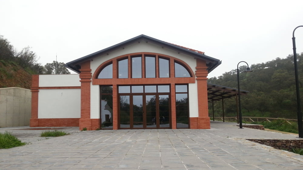
El punto de inicio es en el área de descanso del embalse de la minilla.

GPS tracks

Trackpoints
  • GPX / Garmin Map Source (gpx) download
  • TCX / Garmin Training Center® (tcx) download
  • CRS / Garmin Training Center® (crs) download
  • Google Earth (kml) download
  • G7ToWin (g7t) download
  • TTQV (trk) download
  • Overlay (ovl) download
  • Fugawi (txt) download
  • Kompass (DAV) Track (tk) download
  • Track data sheet (pdf) download
  • Original file of the author (gpx) download

More about the tour author

juliobtt
Member since 2013

Send private message
Share track
Add to my favorites
Remove from my favorites
Edit tags
My score
Rate
Track: Pantano de La Minilla-El Ronquillo-El Gergal-La Minilla
Type: Mountain bike
Distance: 43,1 km
Evaluated on:
Duration:
Day(s)
Hour(s)
Minute(s)
Score: Landscape Fun factor Fitness Technique