Login

Forgot your login?

Cookies have to be accepted!
Your browser's cookie functionality is disabled. Please enable this functionality.

Not a member yet?

Register now
Login

Available for registred users only

Log in to use this feature.

Forgot your login?

Cookies have to be accepted!
Your browser's cookie functionality is disabled. Please enable this functionality.

Not a member yet?

Register now
Filter
Categories
Advanced filters
  • Distance (km)
  • Height
Save filters Reset filter

TrackRank

QRCode

Technical data

Distance47,9 km Height927 m Way down934 m Duration04:06 h:m Date15.04.2013
Scores Author Landscape Fun factor Fitness Technique

Statistics

837 Views 1 Score 58 Downloads 4.00 Average
Rate
  • Track data sheet
  • Directions
  • Downloads

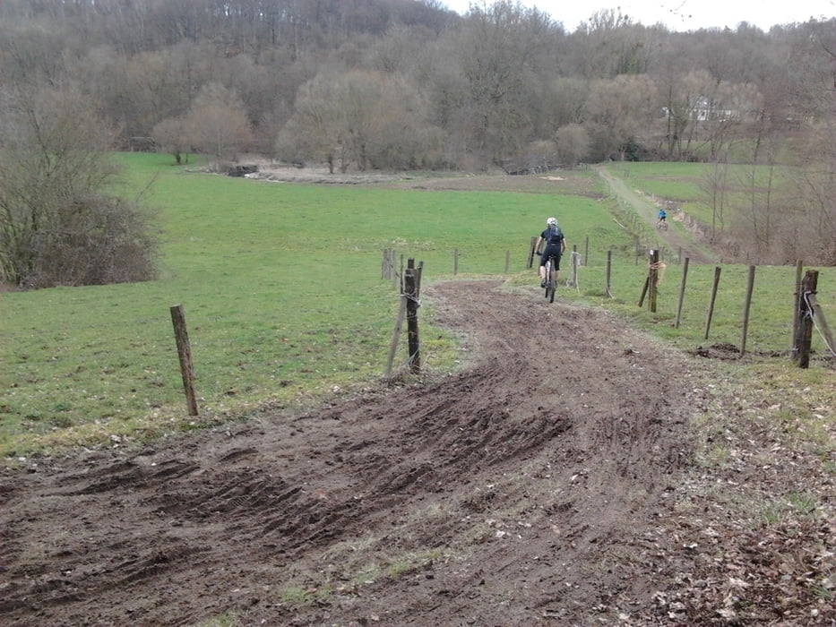
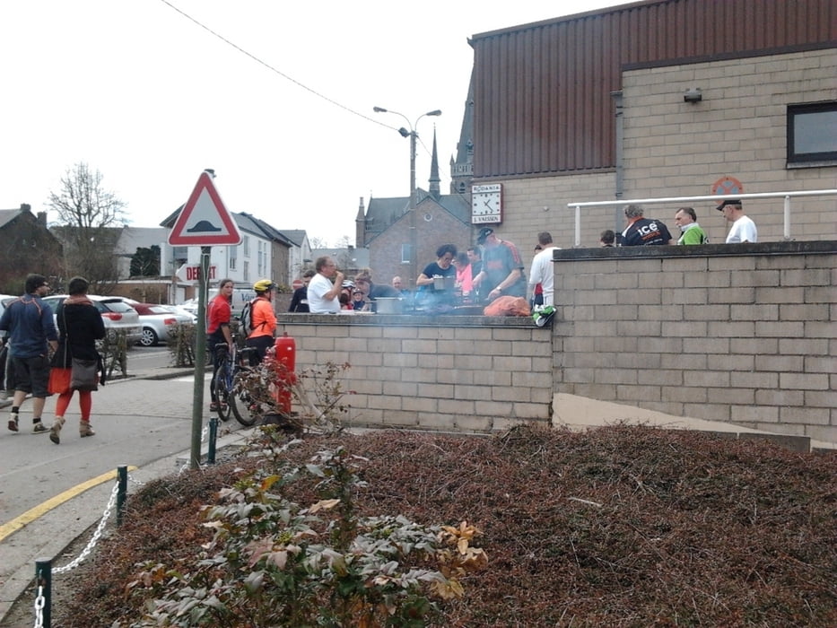
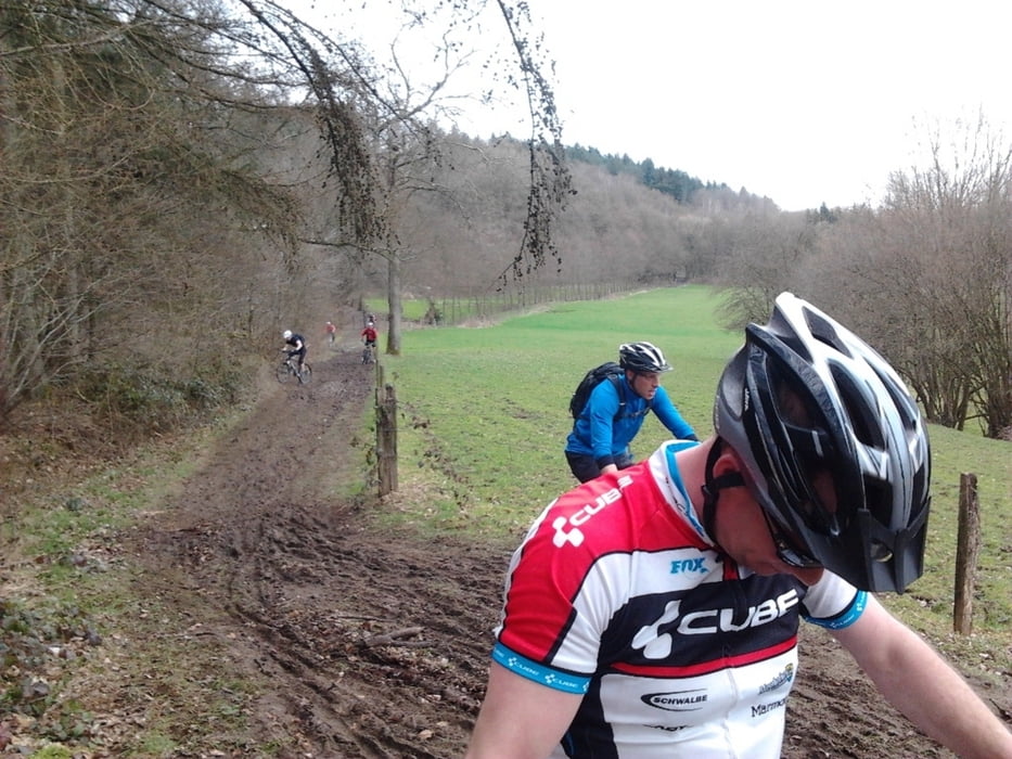
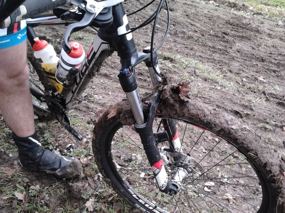
Dit is de track van de mtb tourtocht van Aubel van 04-2013.

Leuke route, je kunt deze ook inkorten naar 30km, dit is waar de route kruist.

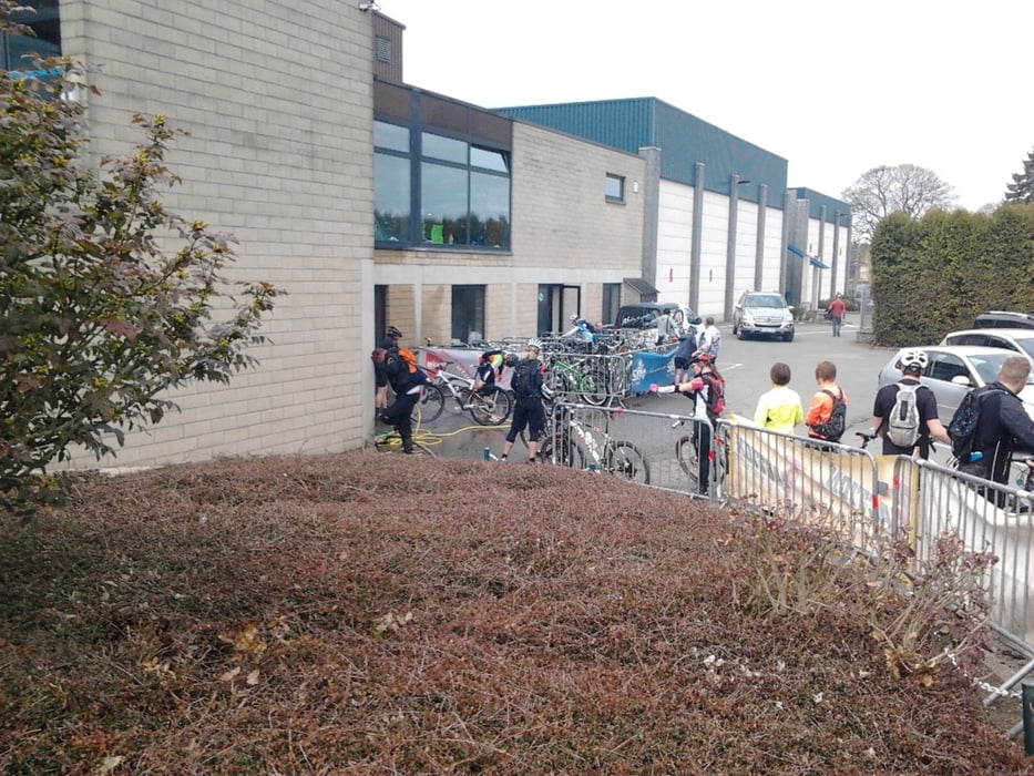
Deze mooie tocht start bij het omnisport center in Aubel.

Tour gallery

Tour map and elevation profile

  • Open Street Map
  • Google
Minimum height 87 m Maximum height 284 m Detailed view

More about the tour author

Bartelomeus
Member since 2012

Send private message

Comments

Bonno on 27.07.2013

Top route

Thanks

GPS tracks

Trackpoints
  • GPX / Garmin Map Source (gpx) download
  • TCX / Garmin Training Center® (tcx) download
  • CRS / Garmin Training Center® (crs) download
  • Google Earth (kml) download
  • G7ToWin (g7t) download
  • TTQV (trk) download
  • Overlay (ovl) download
  • Fugawi (txt) download
  • Kompass (DAV) Track (tk) download
  • Track data sheet (pdf) download
  • Original file of the author (tcx) download

More about the tour author

Bartelomeus
Member since 2012

Send private message
Share track
Add to my favorites
Remove from my favorites
Edit tags
My score
Rate
Track: Mtb Aubel
Type: Mountain bike
Distance: 47,9 km
Evaluated on:
Duration:
Day(s)
Hour(s)
Minute(s)
Score: Landscape Fun factor Fitness Technique