

Im Rother Wanderführer "Bergisches Land" durchs Eifgenbachtal geht es zur großen Bachrunde.
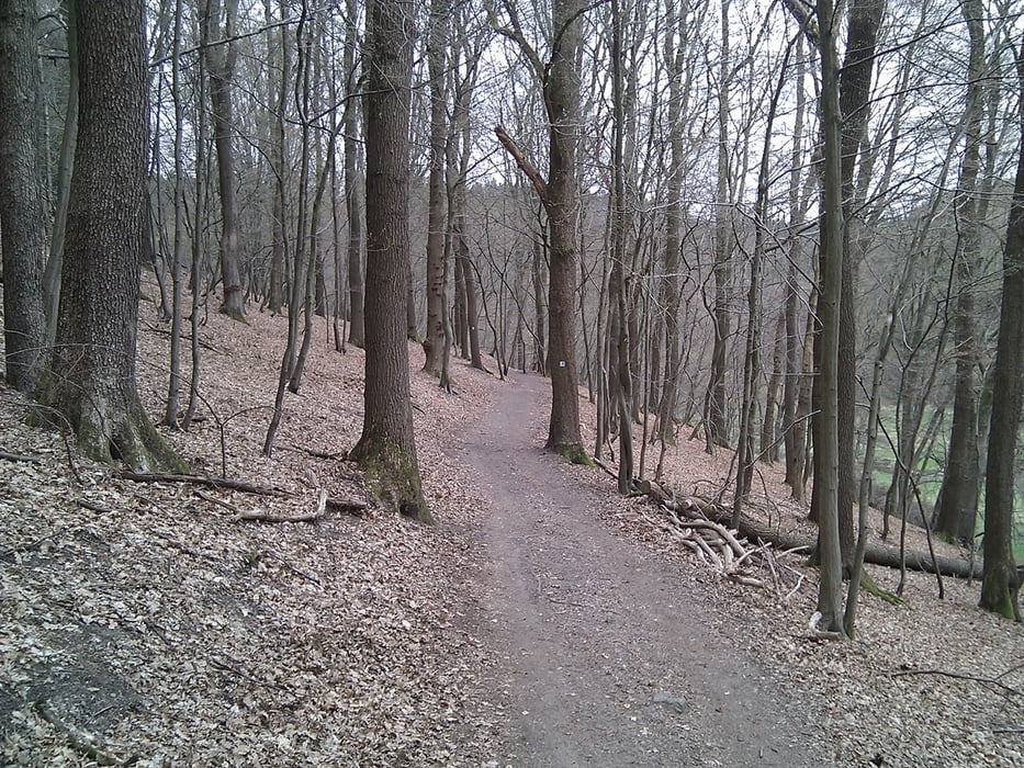
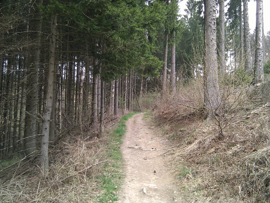
Das Eifgenbachtal zählt zu den schönsten Bachtälern des Bergischen Landes. Wir durchstreifen es in Altenberg bis Dabringhausen und wandern anschließend ins Tal des Linnefebachs, stiller und verträumter als der erste. Breite Wege am Fluss erwarten uns im Dhünntal, dem dritten unserer Bachtalrunde.
Ein knackiger Anstieg nach Dabringhausen. Der Rest relativ eben.
Tour gallery


Tour map and elevation profile
Minimum height 91 m
Maximum height 252 m
More about the tour author

|
TobyDean |
Comments

Parken auf dem Rastplatz Schöllerhof nördlich des Altenberger Doms und des Parkplatzes am Märchenwald.
Parkenplatz auf der rechten Seite der L101 von Süden kommend.
GPS tracks
Trackpoints-
GPX / Garmin Map Source (gpx) download
-
TCX / Garmin Training Center® (tcx) download
-
CRS / Garmin Training Center® (crs) download
-
Google Earth (kml) download
-
G7ToWin (g7t) download
-
TTQV (trk) download
-
Overlay (ovl) download
-
Fugawi (txt) download
-
Kompass (DAV) Track (tk) download
-
Track data sheet (pdf) download
-
Original file of the author (gpx) download
More about the tour author
|
|
TobyDean |
Add to my favorites
Remove from my favorites
Edit tags
Open track
My score
Rate