


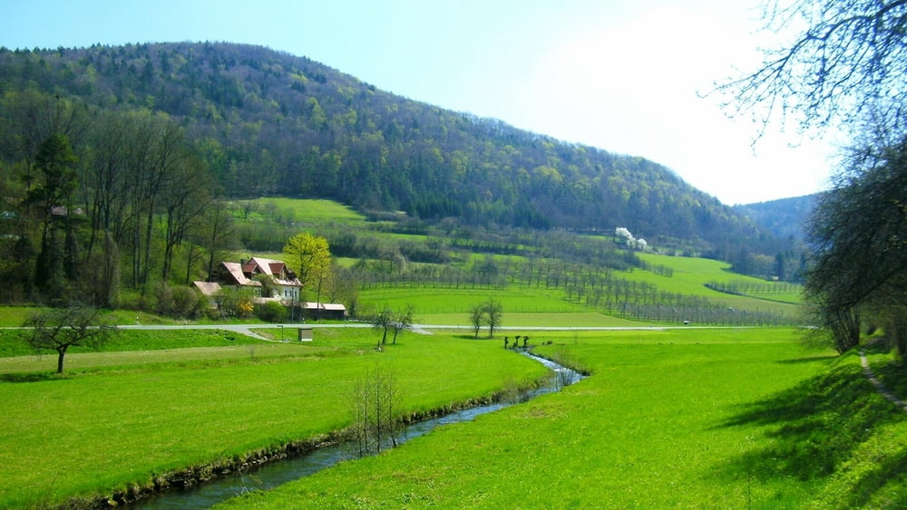
Vom Parkplatz nach links mit Blaustrich im lieblichen Trubachtal entlang. Links über Steg, kurz rechts auf Fußweg, gleich wieder rechts leicht bergan zum Waldrand. Nach links bis Mostviel. Links ab durch den Ort, am Ortsende mit Blaukreuz rechts aufwärts und dann links durch lichten Hochwald nach Schlehenmühle. Am Ortsende links ab dem Teersträßchen folgend und bald scharf links weiter aufwärts. Am Dicken Berg vorbei nach Wichsenstein.
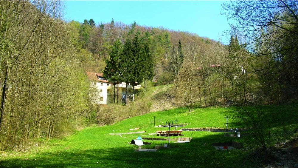
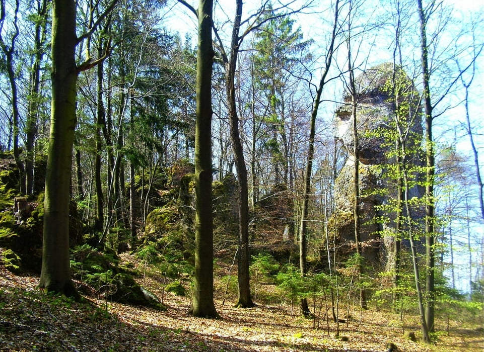
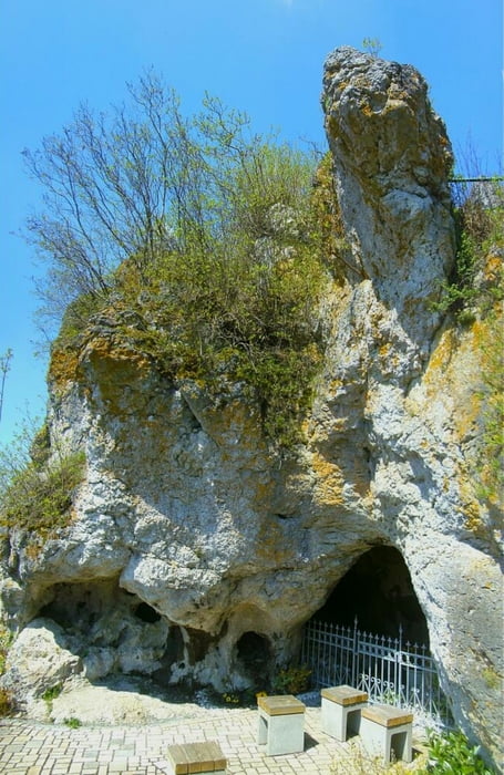
An der Kirche links und gleich rechts über Treppen aufwärts zum Felsen mit lohnender Aussicht! Zurück und auf Straße rechts ab mit grüner Raute bergab nach Ühleinshof. Links auf Straße zum Ortsende, dann rechts zum Waldrand und halblinks mit Gelbring durch Wald zu einzelnen Häusern. Am ersten Haus zur Straße, rechts ab und nach letztem Haus halblinks abwärts, dann mit Rotring nach Hardt. Zwei mal links, dann halbrechts vor („Reiter“-Haus) halbrechts mit Gelbring abwärts nach Schweinthal.
Tour gallery

Tour map and elevation profile
Minimum height 327 m
Maximum height 567 m
More about the tour author
|
|
heinz-57 |
Comments

Von Fochheim und Pretzfeld kommend bis Schweinthal. Am Ortsanfang (Bushäuschen) rechts (Hundshaupten) ab bis Wanderweg- Kreuzung.
GPS tracks
Trackpoints-
GPX / Garmin Map Source (gpx) download
-
TCX / Garmin Training Center® (tcx) download
-
CRS / Garmin Training Center® (crs) download
-
Google Earth (kml) download
-
G7ToWin (g7t) download
-
TTQV (trk) download
-
Overlay (ovl) download
-
Fugawi (txt) download
-
Kompass (DAV) Track (tk) download
-
Track data sheet (pdf) download
-
Original file of the author (gpx) download
More about the tour author
|
|
heinz-57 |
Add to my favorites
Remove from my favorites
Edit tags
Open track
My score
Rate