


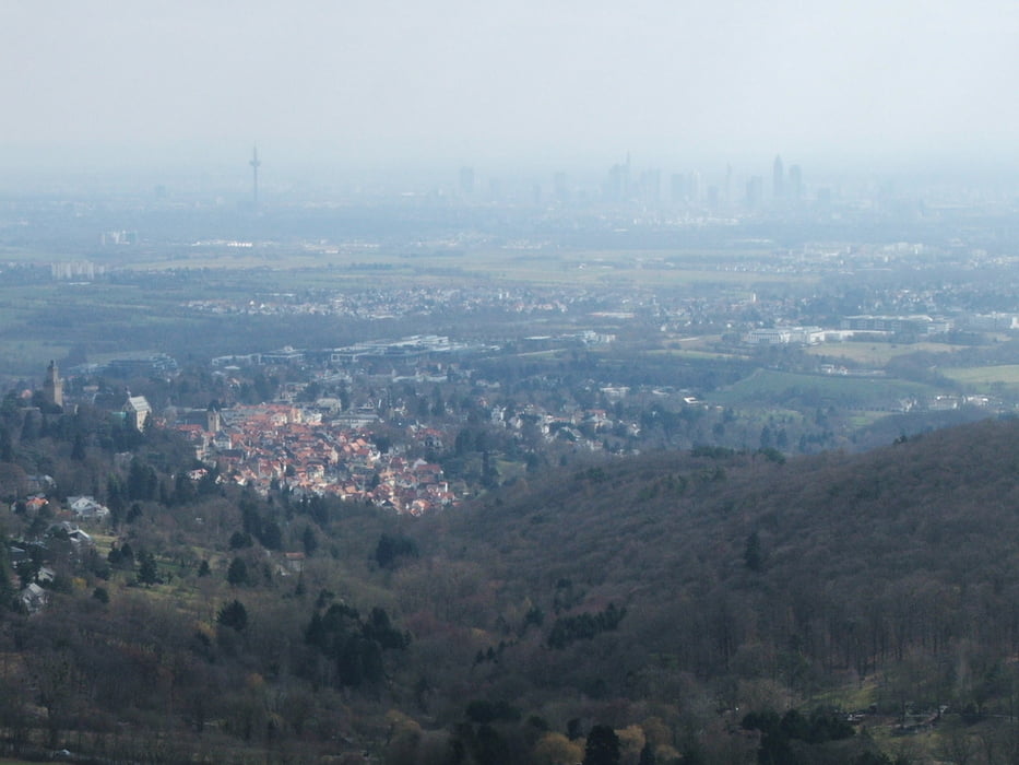
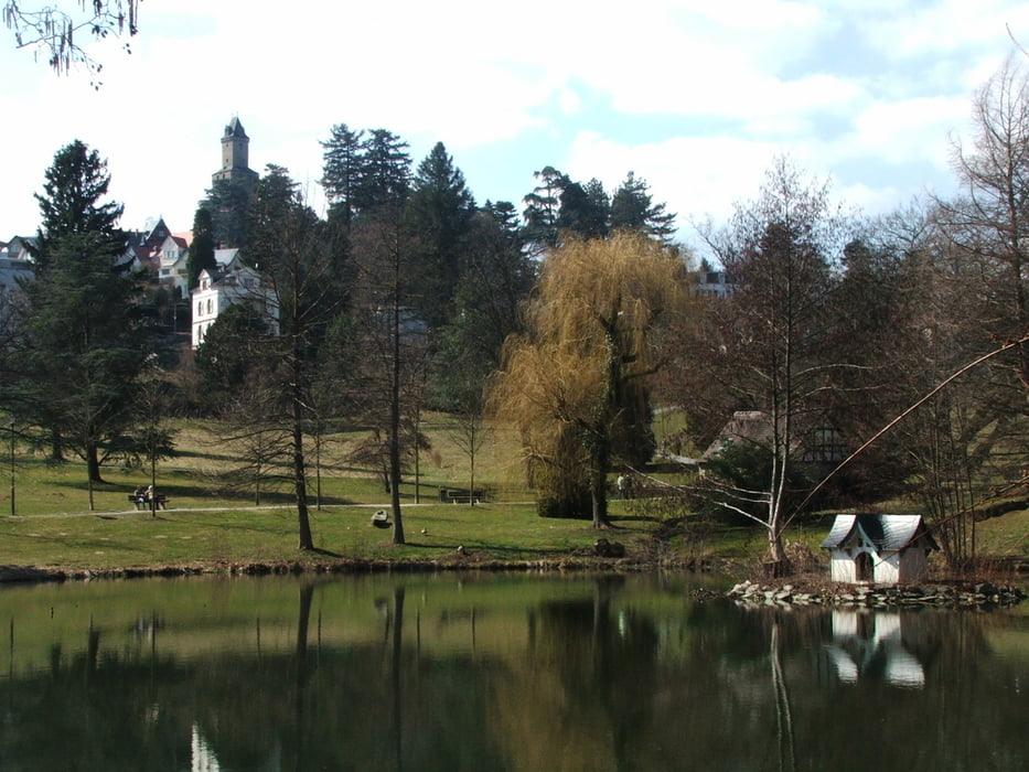
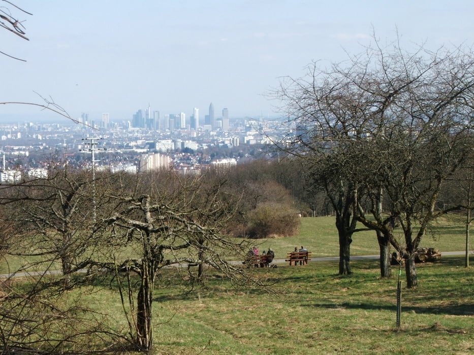
Wegverlauf: Königstein - Dettweiler Tempel - Burgruine Falkenstein - Falkenstein - Kocherfels - Bürgel=Platte - Kronberg Viktoriapark - Stadtmitte - Quellenpark - Hardtberg - Königstein
Wald, Felsen, Wiesen, Parks - diese Tour bietet viel Abwechslung.
Tour gallery

Tour map and elevation profile
Minimum height 181 m
Maximum height 494 m
More about the tour author
|
|
lothardomnik |
Comments

Start- und Endpunkt der Wanderung ist Königstein Stadtmitte (zentrale Bushaltestelle). Abbruch oder Beginn ist auch in Kronberg möglich: die Buslinie 261 verkehrt zwischen Königstein und Kronberg.
GPS tracks
Trackpoints-
GPX / Garmin Map Source (gpx) download
-
TCX / Garmin Training Center® (tcx) download
-
CRS / Garmin Training Center® (crs) download
-
Google Earth (kml) download
-
G7ToWin (g7t) download
-
TTQV (trk) download
-
Overlay (ovl) download
-
Fugawi (txt) download
-
Kompass (DAV) Track (tk) download
-
Track data sheet (pdf) download
-
Original file of the author (gpx) download
More about the tour author
|
|
lothardomnik |
Add to my favorites
Remove from my favorites
Edit tags
Open track
My score
Rate