Login

Forgot your login?

Cookies have to be accepted!
Your browser's cookie functionality is disabled. Please enable this functionality.

Not a member yet?

Register now
Login

Available for registred users only

Log in to use this feature.

Forgot your login?

Cookies have to be accepted!
Your browser's cookie functionality is disabled. Please enable this functionality.

Not a member yet?

Register now
Filter
Categories
Advanced filters
  • Distance (km)
  • Height
Save filters Reset filter

TrackRank

QRCode

Technical data

Distance4,8 km Height87 m Way down253 m Duration01:30 h:m Date04.05.2013
Scores Author Landscape Fun factor Fitness Technique

Statistics

138 Views Scores 8 Downloads Average
Rate
  • Track data sheet
  • Directions
  • Downloads
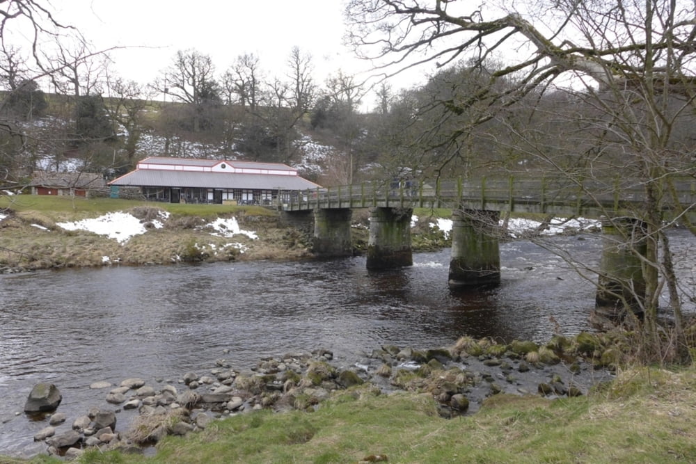
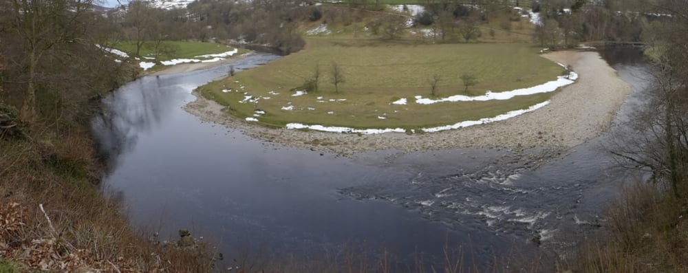
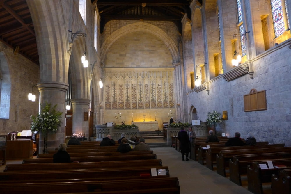
Kleine Rundwanderung entlang des Flusses Wharfe mit der Möglichkeit zur Besichtigung der Klosterruine aus dem 12. Jahrhundert .

Further information at

http://de.wikipedia.org/wiki/Bolton_Abbey

Tour gallery

Tour map and elevation profile

  • Open Street Map
  • Google
Minimum height 91 m Maximum height 272 m Detailed view

More about the tour author

grenz-pfad-fahrer
Member since 2009

Send private message

Comments

Von der A59 auf die B6160 abbiegen und dann auf einem der ausgewiesenen Parkplätze von Bolton Abbey parken.

GPS tracks

Trackpoints
  • GPX / Garmin Map Source (gpx) download
  • TCX / Garmin Training Center® (tcx) download
  • CRS / Garmin Training Center® (crs) download
  • Google Earth (kml) download
  • G7ToWin (g7t) download
  • TTQV (trk) download
  • Overlay (ovl) download
  • Fugawi (txt) download
  • Kompass (DAV) Track (tk) download
  • Track data sheet (pdf) download
  • Original file of the author (gpx) download

More about the tour author

grenz-pfad-fahrer
Member since 2009

Send private message
Share track
Add to my favorites
Remove from my favorites
Edit tags
My score
Rate
Track: Bolton Abbey
Type: Hiking
Distance: 4,8 km
Evaluated on:
Duration:
Day(s)
Hour(s)
Minute(s)
Score: Landscape Fun factor Fitness Technique