Login

Forgot your login?

Cookies have to be accepted!
Your browser's cookie functionality is disabled. Please enable this functionality.

Not a member yet?

Register now
Login

Available for registred users only

Log in to use this feature.

Forgot your login?

Cookies have to be accepted!
Your browser's cookie functionality is disabled. Please enable this functionality.

Not a member yet?

Register now
Filter
Categories
Advanced filters
  • Distance (km)
  • Height
Save filters Reset filter

TrackRank

QRCode

Technical data

Distance7,2 km Height176 m Way down159 m Duration00:00 h:m Date04.05.2013
Scores Author Landscape Fun factor Fitness Technique

Statistics

157 Views Scores 11 Downloads Average
Rate
  • Track data sheet
  • Directions
  • Downloads
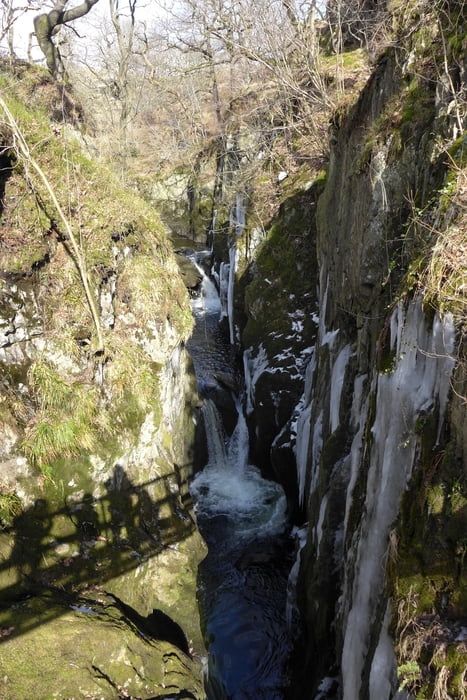
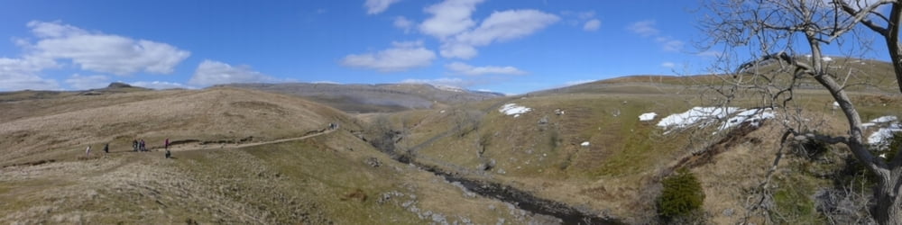
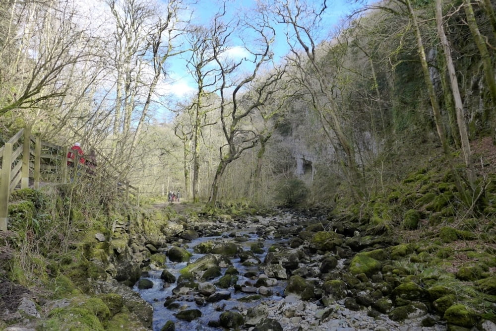
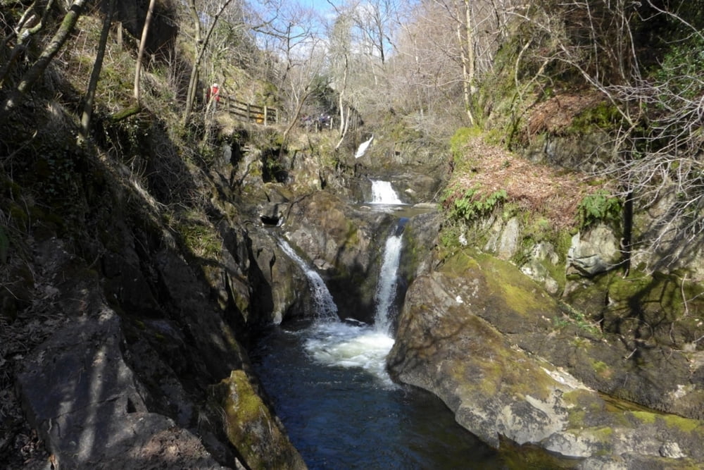
Rundtour entlang der Flüsse Twiss und Doe mit ihren fantastischen Wasserfällen.

Further information at

http://en.wikipedia.org/wiki/Ingleton_Waterfalls_Trail

Tour gallery

Tour map and elevation profile

  • Open Street Map
  • Google
Minimum height 112 m Maximum height 290 m Detailed view

More about the tour author

grenz-pfad-fahrer
Member since 2009

Send private message

Comments

Parken am ausgewiesenen Parkplatz in Ingleton. (Parkgebühr und Eintrittsgeld!)

GPS tracks

Trackpoints
  • GPX / Garmin Map Source (gpx) download
  • TCX / Garmin Training Center® (tcx) download
  • CRS / Garmin Training Center® (crs) download
  • Google Earth (kml) download
  • G7ToWin (g7t) download
  • TTQV (trk) download
  • Overlay (ovl) download
  • Fugawi (txt) download
  • Kompass (DAV) Track (tk) download
  • Track data sheet (pdf) download
  • Original file of the author (gpx) download

More about the tour author

grenz-pfad-fahrer
Member since 2009

Send private message
Share track
Add to my favorites
Remove from my favorites
Edit tags
My score
Rate
Track: Ingleton's Waterfalls
Type: Hiking
Distance: 7,2 km
Evaluated on:
Duration:
Day(s)
Hour(s)
Minute(s)
Score: Landscape Fun factor Fitness Technique