Login

Forgot your login?

Cookies have to be accepted!
Your browser's cookie functionality is disabled. Please enable this functionality.

Not a member yet?

Register now
Login

Available for registred users only

Log in to use this feature.

Forgot your login?

Cookies have to be accepted!
Your browser's cookie functionality is disabled. Please enable this functionality.

Not a member yet?

Register now
Filter
Categories
Advanced filters
  • Distance (km)
  • Height
Save filters Reset filter

TrackRank

QRCode

Technical data

Distance7,3 km Height67 m Way down106 m Duration02:00 h:m Date04.05.2013
Scores Author Landscape Fun factor Fitness Technique

Statistics

229 Views Scores 9 Downloads Average
Rate
  • Track data sheet
  • Directions
  • Downloads
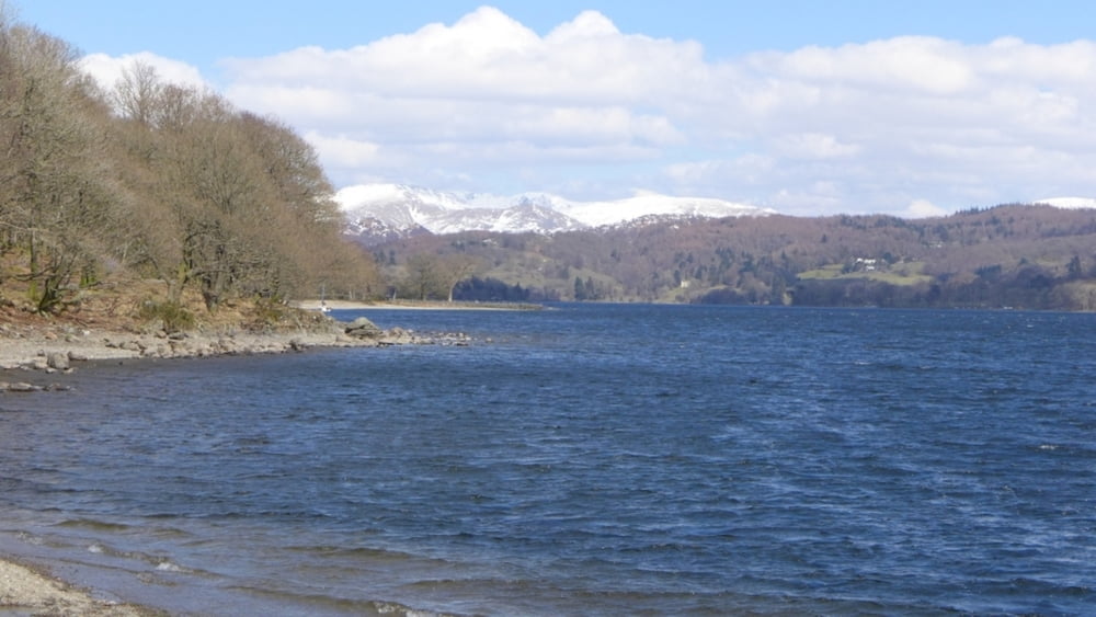
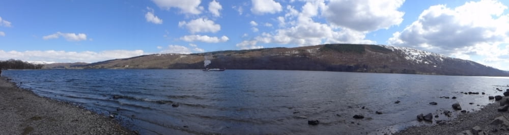
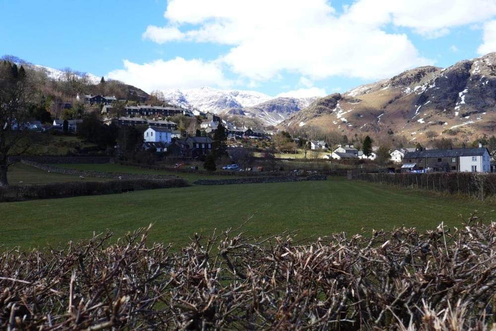
Kombinationstour aus Bootsfahrt und kleiner Wanderung. Hinfahrt mit der Fähre von Coniston nach Torver und zurückwandern am Ufer entlang.

Further information at

http://de.wikipedia.org/wiki/Coniston_Water

Tour gallery

Tour map and elevation profile

  • Open Street Map
  • Google
Minimum height 28 m Maximum height 76 m Detailed view

More about the tour author

grenz-pfad-fahrer
Member since 2009

Send private message

Comments

Von der A593 in die Lake Road einbiegen und auf dem ausgewiesenen Parkplatz parken.

GPS tracks

Trackpoints
  • GPX / Garmin Map Source (gpx) download
  • TCX / Garmin Training Center® (tcx) download
  • CRS / Garmin Training Center® (crs) download
  • Google Earth (kml) download
  • G7ToWin (g7t) download
  • TTQV (trk) download
  • Overlay (ovl) download
  • Fugawi (txt) download
  • Kompass (DAV) Track (tk) download
  • Track data sheet (pdf) download
  • Original file of the author (gpx) download

More about the tour author

grenz-pfad-fahrer
Member since 2009

Send private message
Share track
Add to my favorites
Remove from my favorites
Edit tags
My score
Rate
Track: Coniston Water
Type: Hiking
Distance: 7,3 km
Evaluated on:
Duration:
Day(s)
Hour(s)
Minute(s)
Score: Landscape Fun factor Fitness Technique