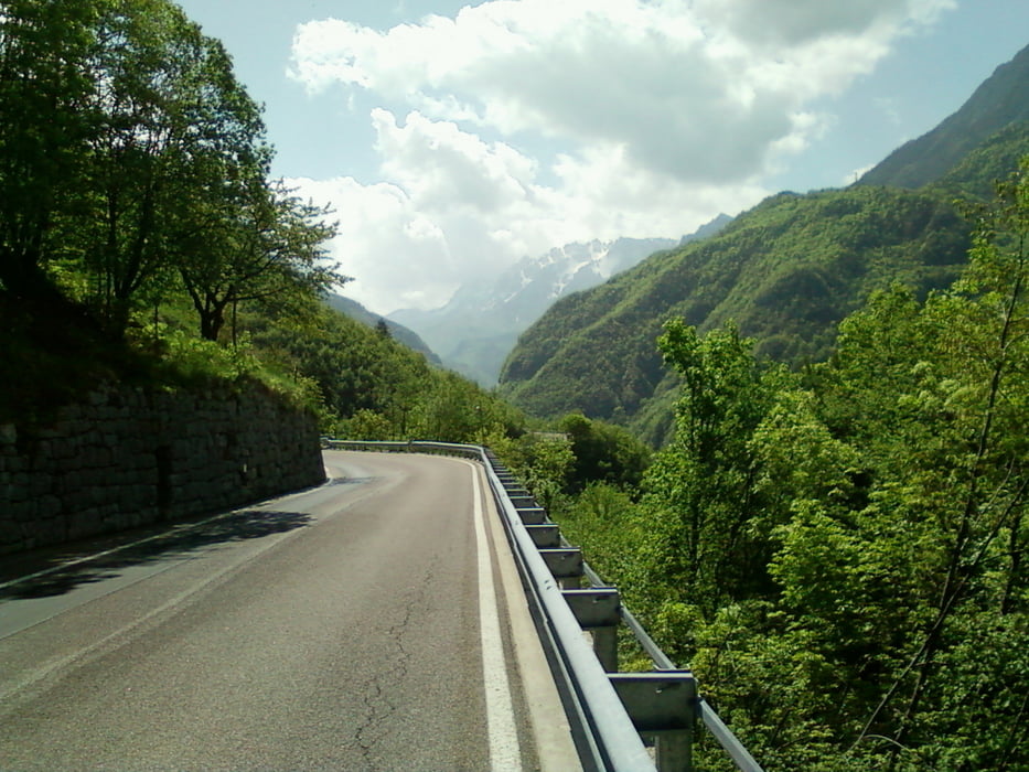
Vom Gardasee geht es in etwas ungewohnte Richtung Rovereto. Dort zweigt man in das beschauliche Vallarsa ab (wer es richtig ruhig mag, sollte die Straße SP89 via Albaredo auf der anderen Talseite wählen, dort gehts aber auch etwas anspruchsvoller zur Sache). Bis zum Pass Pian delle Fugazze geht es nicht allzu steil hinauf. Nach kurzer Abfahrt hinter dem Fugazze-Scheitel zweigt links etwas unscheinbar eine kleine Straße zum Passo Xomo ab. Tipp: Der frühe Vogel fängt den Wurm. Nach eigener Erfahrung brauen sich im Bereich des Pasubio-Gebiets ab Mittag sehr häufig Gewitter zusammen! Daher ist eine frühe Abfahrt zu empfehlen. Etwaig verkehrende Motorradfahrer können einem dann auch egal sein. ;-)
Von dort führt die schmale Straße hinab nach Posina. Dort schwenkt man nach links zum Passo Borcola. Achtung: Regelmäßig bleibt die Wintersperre am Passo della Borcola bis in den Mai hinein erhalten!
Bis Rovereto rollt es gemütlich hinab, das Stück zum Gardasee ist dann nur mehr ausrollende Pflicht.
Further information at
http://www.quaeldich.de/paesse/passo-pian-delle-fugazze/Tour gallery
Tour map and elevation profile
Comments

GPS tracks
Trackpoints-
GPX / Garmin Map Source (gpx) download
-
TCX / Garmin Training Center® (tcx) download
-
CRS / Garmin Training Center® (crs) download
-
Google Earth (kml) download
-
G7ToWin (g7t) download
-
TTQV (trk) download
-
Overlay (ovl) download
-
Fugawi (txt) download
-
Kompass (DAV) Track (tk) download
-
Track data sheet (pdf) download
-
Original file of the author (gpx) download


