


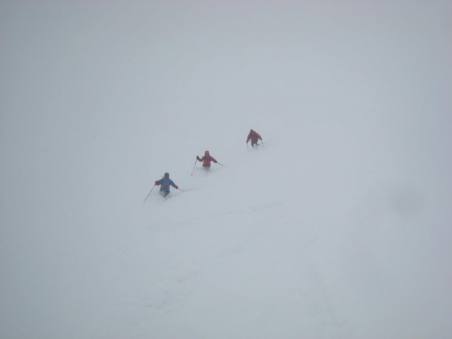
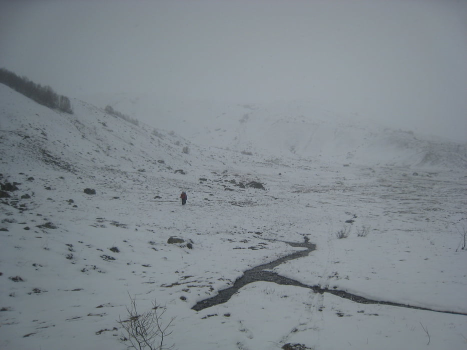
Vom Obersten Ortsteil Ushgulis der Straße in Richtung Schara (N) folgen. Nach ca. 2km bei großer Lawine zweigt ein Wanderweg nach links ab. Diesen schräg durch die Flanke empor zum Ostgrat. Man könnte hier auch geradeaus weier Richung Schara gehen. Wir verfolgen jedoch den Gratrücken nach links (W) bis zum Gipfel. Wegen Whiteout haben wir auf die letzten paar Meter auf dem überwächtetn Gipfelgrat nach S verzichtet. Abfahrt zunächst wie Aufstieg, wo der Wanderweg quert jedoch geradeaus hinunter (Ende April 2013 gerade noch ausreichende Schneereste bei uns) bis ins Tal. Durchs Tal flach zurück nach Ushguli.
Der Gipfelname ist der russischen Militärkarte entnommen, keine Garantie für Korrektheit!
Further information at
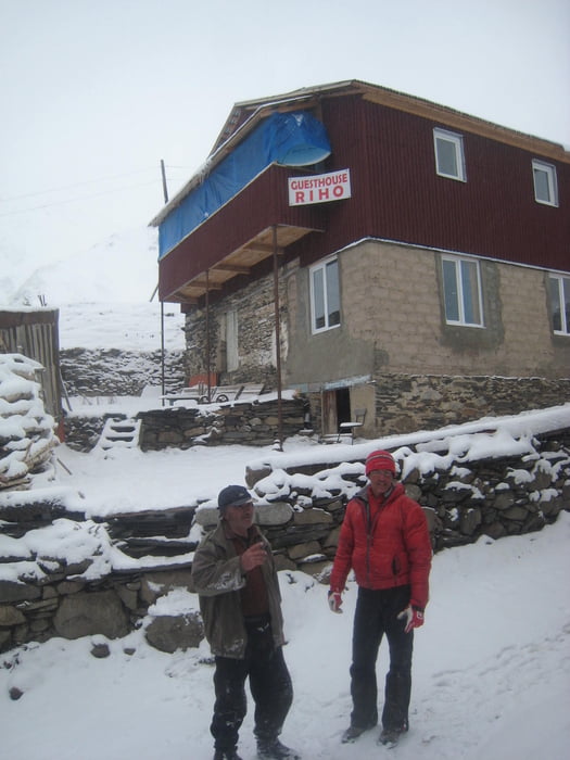
http://www.hotelriho.comTour gallery
Tour map and elevation profile
Minimum height 2083 m
Maximum height 3251 m
More about the tour author

|
Gi |
Comments

Tilflis-Zugdidi-Mestia-Ushguli
siehe auch Lamaliales Gora
GPS tracks
Trackpoints-
GPX / Garmin Map Source (gpx) download
-
TCX / Garmin Training Center® (tcx) download
-
CRS / Garmin Training Center® (crs) download
-
Google Earth (kml) download
-
G7ToWin (g7t) download
-
TTQV (trk) download
-
Overlay (ovl) download
-
Fugawi (txt) download
-
Kompass (DAV) Track (tk) download
-
Track data sheet (pdf) download
-
Original file of the author (gpx) download
More about the tour author
|
|
Gi |
Add to my favorites
Remove from my favorites
Edit tags
Open track
My score
Rate