


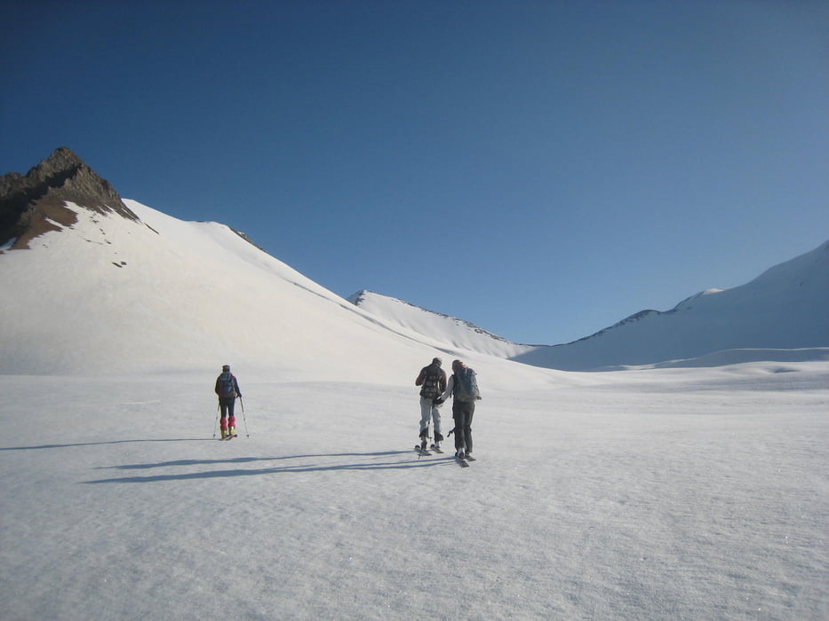
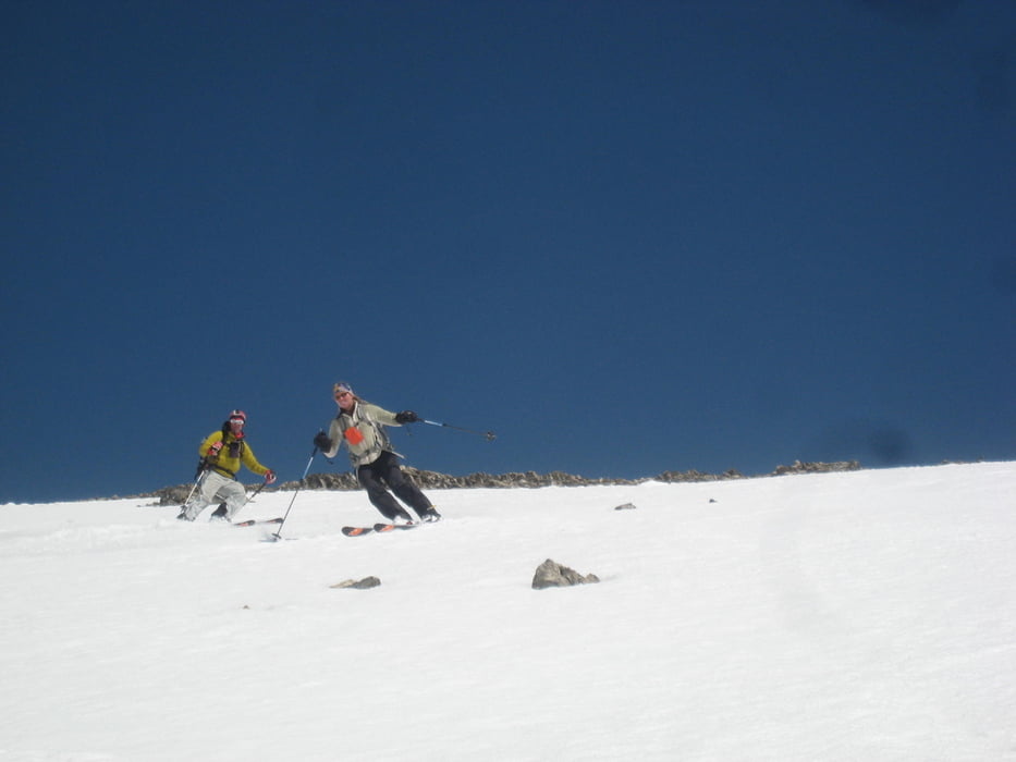
Von der Kreuzpassstraße, etwas oberhalb der ersten Gallerie nach Gudauri rechts auf den Rücken hinauf. (Hierher auch aus Gudauri über das Skigebiet welches am 30.April schließt. So waren wir am 1.5. alleine unterwegs). Dem Rücken entlang, vorbei an Sender, dann links hinauf zu Punkt 3011. Ostseitige Abfahrt verspricht schon früh besten Firn. Dann nach N zum Bidara. Bis man dort ist auch auf der S-Flanke bester Firn. Zuletzt weiter nach NO zum Sazele. Wiederung bester Firn auf der NW-Abfahrt, den flacheren Böden darunter und der Westseitigen Abfahrt zum Auto.
Volle 5 Sterne Spaßfaktor da hier die Sonne bei frühem Start in idealer Weise mit einem mitwandert und auf allen Abfahrten für besten Firn sorgt!
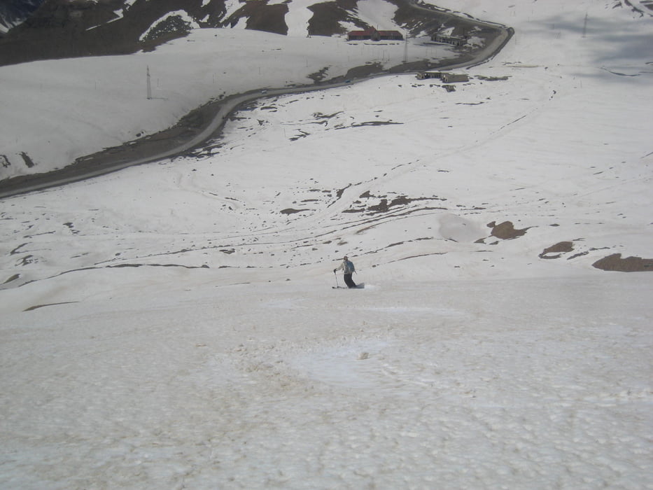
Alternativ sind Abfahrten nach W oder N zur Kreuzpassstraße oder übers Skigebiet nach Gudauri möglich.
Tour gallery

Tour map and elevation profile
Minimum height 2239 m
Maximum height 3321 m
More about the tour author

|
Gi |
Comments

Tiflis-Gudauri
Von Gudauri weiter Richtung Kruzpass. Nach der ersten, langen Gallerie vor Linkskurve bei Straßenschild rechts parken
GPS tracks
Trackpoints-
GPX / Garmin Map Source (gpx) download
-
TCX / Garmin Training Center® (tcx) download
-
CRS / Garmin Training Center® (crs) download
-
Google Earth (kml) download
-
G7ToWin (g7t) download
-
TTQV (trk) download
-
Overlay (ovl) download
-
Fugawi (txt) download
-
Kompass (DAV) Track (tk) download
-
Track data sheet (pdf) download
-
Original file of the author (gpx) download
More about the tour author
|
|
Gi |
Add to my favorites
Remove from my favorites
Edit tags
Open track
My score
Rate