


Habe diesen Weg beschrieben, damit es anderen nicht so geht wie uns: der Weg war im Mai 2013 wegen Steinschlags nach ca. 2,0km am Lahnbach GESPERRT. Weitergehen leichtsinnig! Wir sind vom Parkplatz der Texel- Seilbahn losgelaufen: KEIN HINWEIS! Später haben wir einen Hinweis in Partschins an Infotafel im Ort (zu spät) gefunden, dort steht auch, dass dies das ganze Jahr 2013 gilt!
Also Weg fast ganz zurück, über einen nicht eingezeichneten Weg talwärts und über den Rablander Waalweg gewandert.
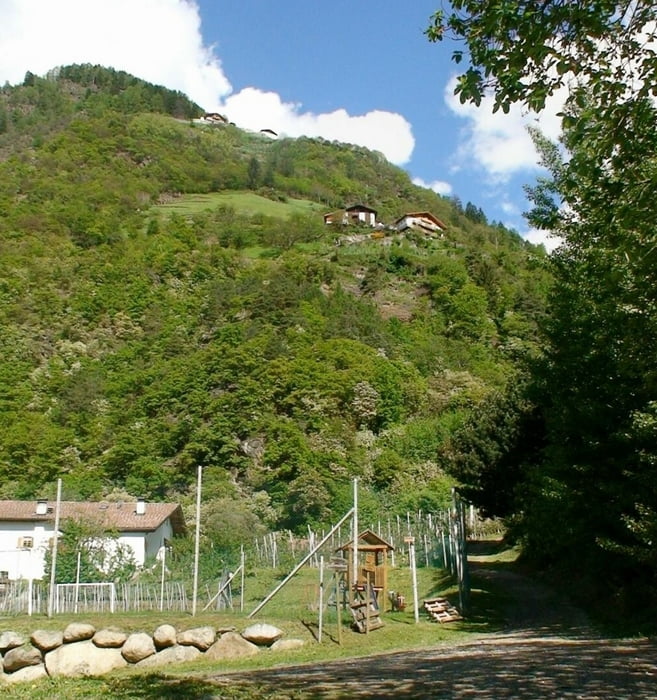
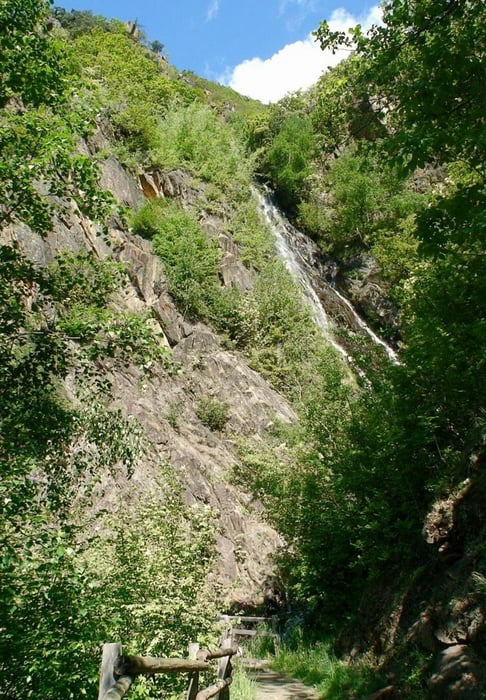
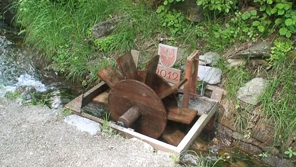
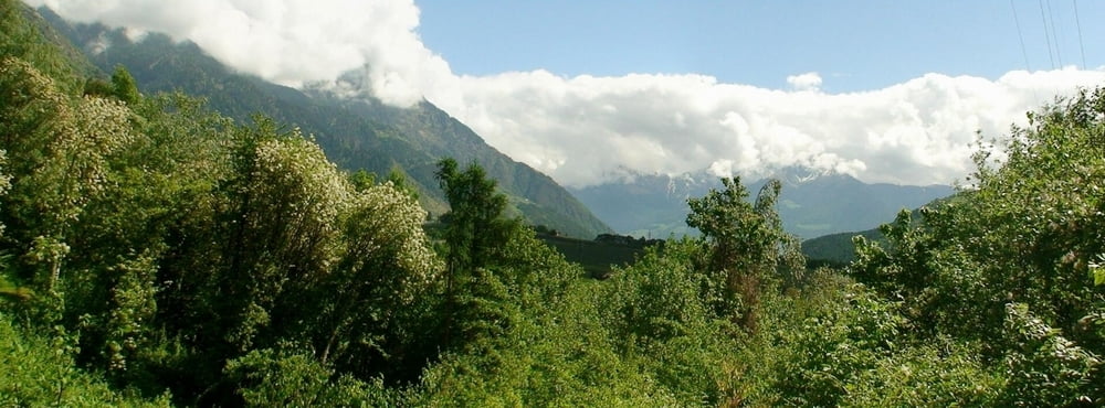
Tour gallery

Tour map and elevation profile
Minimum height 580 m
Maximum height 756 m
More about the tour author
|
|
heinz-57 |
Comments

Von Meran kommend an Algund vorbei, hinter Töll rechts ab nach Partschins und der Beschilderung "Texel- Seilbahn" folgend bis Parkplatz.
GPS tracks
Trackpoints-
GPX / Garmin Map Source (gpx) download
-
TCX / Garmin Training Center® (tcx) download
-
CRS / Garmin Training Center® (crs) download
-
Google Earth (kml) download
-
G7ToWin (g7t) download
-
TTQV (trk) download
-
Overlay (ovl) download
-
Fugawi (txt) download
-
Kompass (DAV) Track (tk) download
-
Track data sheet (pdf) download
-
Original file of the author (gpx) download
More about the tour author
|
|
heinz-57 |
Add to my favorites
Remove from my favorites
Edit tags
Open track
My score
Rate