


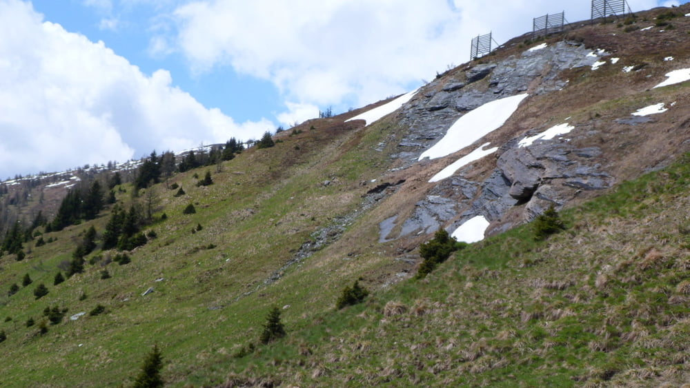
Dies ist eine größere Runde um das Tschaneck mit der Einkehrmöglichkeit in der Pritzhütte (inkl. Geocache) wenn man den Weg im Uhrzeigersinn läuft. Da es immerhin 640 Höhenmeter zu überwinden gilt, sollte man diese Tour nicht unbedingt mit Kleinstkindern unternehmen. Für Buggies und Kinderwagen ist sie aufgrund einzelner Teile sowieso ungeeignet.
Ansonsten lockt natürlich eine tolle Aussicht auf Berge und schöne Täler.
Achtung: scheinbar war zwischendurch (vorallem in der ersten Häälte) der Empfang des GPS-Gerätes nicht sehr gut, weshalb die Route ggf. etwas von den Wegen abweicht. Bitte einfach den "sinngemäßen" Weg weitergehen und nicht querfeldein laufen.
Tour gallery

Tour map and elevation profile
Minimum height 1638 m
Maximum height 1926 m
More about the tour author

|
Gendrisch |
Comments

GPS tracks
Trackpoints-
GPX / Garmin Map Source (gpx) download
-
TCX / Garmin Training Center® (tcx) download
-
CRS / Garmin Training Center® (crs) download
-
Google Earth (kml) download
-
G7ToWin (g7t) download
-
TTQV (trk) download
-
Overlay (ovl) download
-
Fugawi (txt) download
-
Kompass (DAV) Track (tk) download
-
Track data sheet (pdf) download
-
Original file of the author (gpx) download
More about the tour author
|
|
Gendrisch |
Add to my favorites
Remove from my favorites
Edit tags
Open track
My score
Rate