


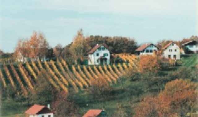
Die Tour startet im Zentrum von Güssing (Tourismusbüro). Auf dieser Tour sehen Sie die schönsten Plätze des Naturpark Weinidylle. Typische Kellerstöckl, gepflegte Weingärten, historische Kellerviertel sowie das Weinmuseum und Vinothek in Moschendorf.
Unzählige Buschenschanken laden zur Pause ein und am Ende der Tour begrüßt wieder die eindrucksvolle Kulisse der Burg Güssing.
Wegbeschaffenheit: Asphalt mit kurzen Schotterwegen auf Nebenstraßen und Forstwegen.
Unzählige Buschenschanken laden zur Pause ein und am Ende der Tour begrüßt wieder die eindrucksvolle Kulisse der Burg Güssing.
Wegbeschaffenheit: Asphalt mit kurzen Schotterwegen auf Nebenstraßen und Forstwegen.
Further information at
http://www.naturpark.atTour gallery
Tour map and elevation profile
Minimum height 200 m
Maximum height 327 m
More about the tour author

|
stegersbach |
Comments

GPS tracks
Trackpoints-
GPX / Garmin Map Source (gpx) download
-
TCX / Garmin Training Center® (tcx) download
-
CRS / Garmin Training Center® (crs) download
-
Google Earth (kml) download
-
G7ToWin (g7t) download
-
TTQV (trk) download
-
Overlay (ovl) download
-
Fugawi (txt) download
-
Kompass (DAV) Track (tk) download
-
Track data sheet (pdf) download
-
Original file of the author (g7t) download
More about the tour author
|
|
stegersbach |
Add to my favorites
Remove from my favorites
Edit tags
Open track
My score
Rate