Login

Forgot your login?

Cookies have to be accepted!
Your browser's cookie functionality is disabled. Please enable this functionality.

Not a member yet?

Register now
Login

Available for registred users only

Log in to use this feature.

Forgot your login?

Cookies have to be accepted!
Your browser's cookie functionality is disabled. Please enable this functionality.

Not a member yet?

Register now
Filter
Categories
Advanced filters
  • Distance (km)
  • Height
Save filters Reset filter

TrackRank

QRCode

Technical data

Distance16,0 km Height194 m Way down388 m Duration03:30 h:m Date03.06.2013
Scores Author Landscape Fun factor Fitness Technique

Statistics

514 Views Scores 37 Downloads Average
Rate
  • Track data sheet
  • Directions
  • Downloads

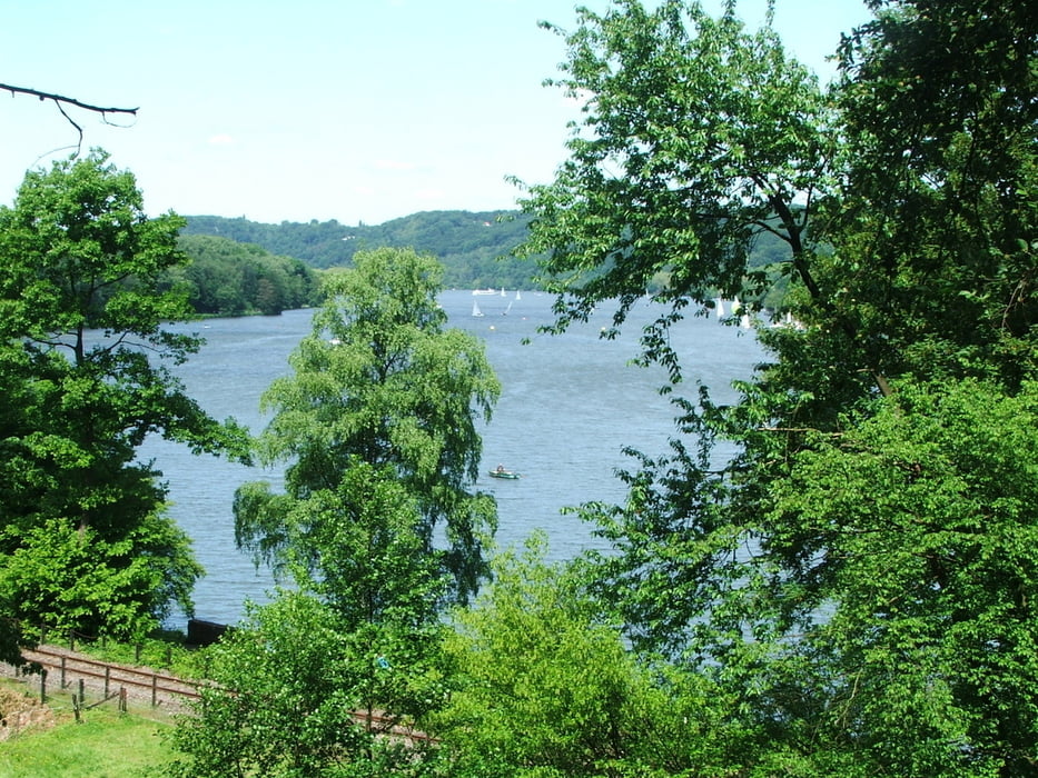
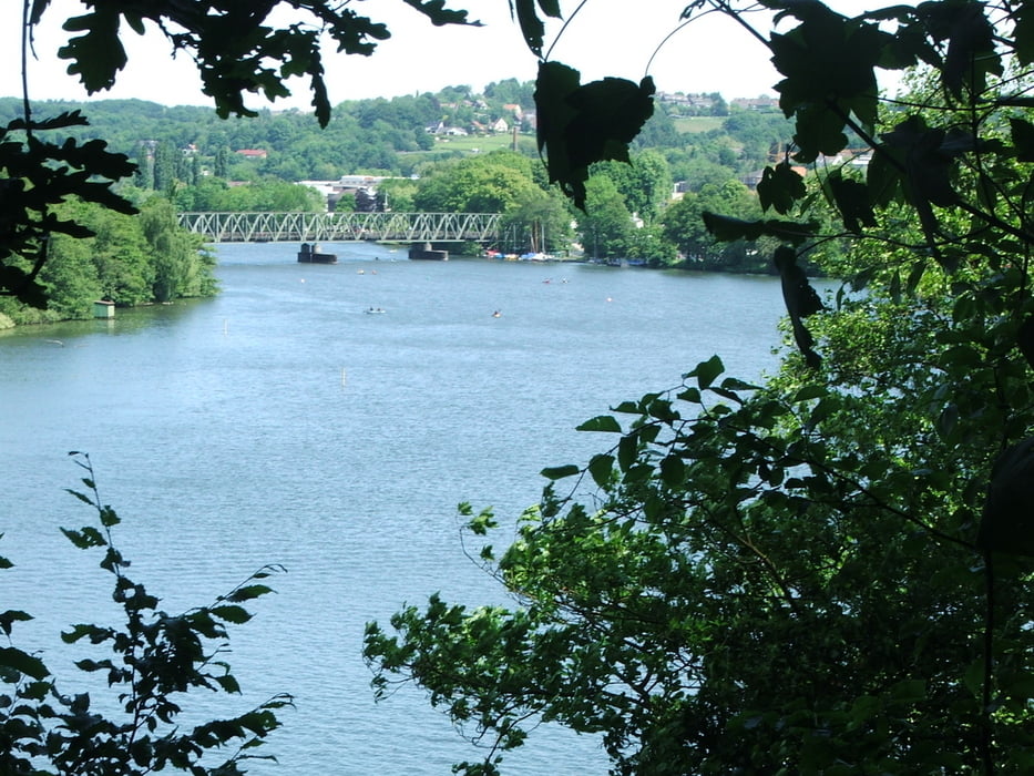
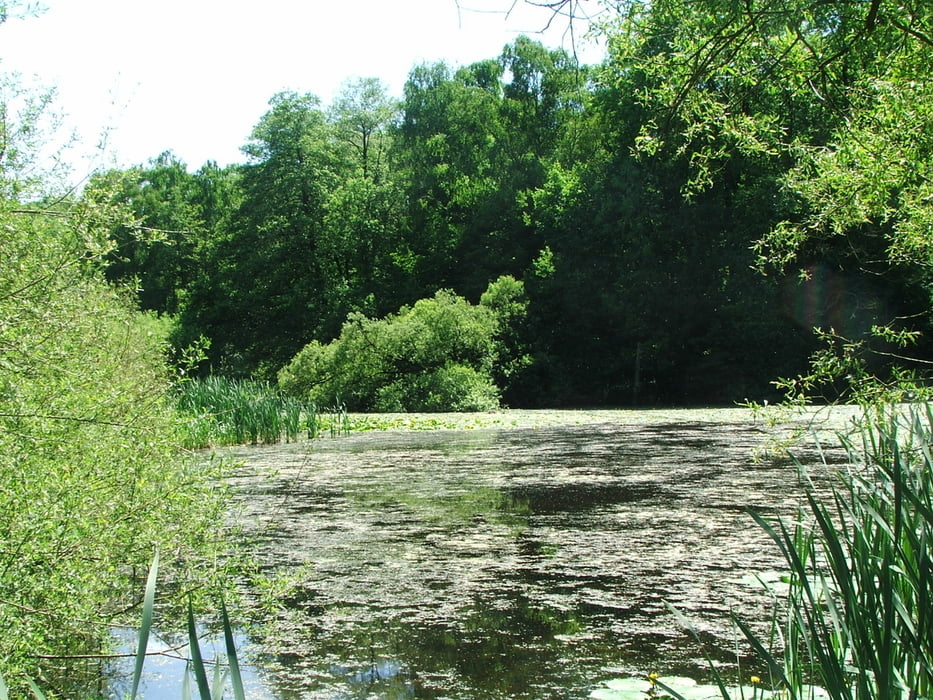
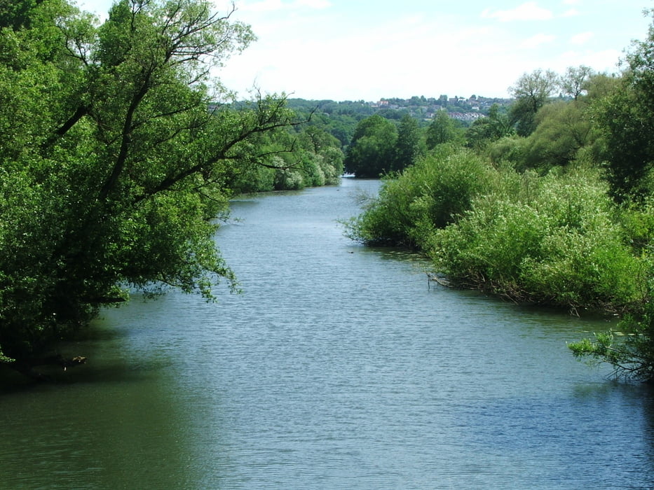
Wegverlauf: Velbert Stadtmitte - Herminghauspark - Velbert=Nord - Oberhesper - Grunewald - Baldeneysee - Bahnhof Kupferdreh - Rote Mühle - Heisinger Ruhraue - Annental


Tour gallery

Tour map and elevation profile

  • Open Street Map
  • Google
Minimum height 47 m Maximum height 265 m Detailed view

More about the tour author

lothardomnik
Member since 2009

Send private message

Comments

Olaf1967 on 01.09.2013

Einfach Top

Das war die Feuertaufe für unser Garmin Oregon 600. es passte auf dieser Tour einfach alles.
Da wir am Ende noch Zeit und Power hatten, liefen wir einfach via Siepental, Parkfriedhof, Frillendorf via Stoppenberger Halde bis vor die Haustür. 25,8 Km. Danke

Startpunkt ist die Bushaltestelle Velbert Postamt, Endpunkt die Bushaltestelle Annental.


GPS tracks

Trackpoints
  • GPX / Garmin Map Source (gpx) download
  • TCX / Garmin Training Center® (tcx) download
  • CRS / Garmin Training Center® (crs) download
  • Google Earth (kml) download
  • G7ToWin (g7t) download
  • TTQV (trk) download
  • Overlay (ovl) download
  • Fugawi (txt) download
  • Kompass (DAV) Track (tk) download
  • Track data sheet (pdf) download
  • Original file of the author (gpx) download

More about the tour author

lothardomnik
Member since 2009

Send private message
Share track
Add to my favorites
Remove from my favorites
Edit tags
My score
Rate
Track: Ruhrgebiet: Velbert
Type: Hiking
Distance: 16,0 km
Evaluated on:
Duration:
Day(s)
Hour(s)
Minute(s)
Score: Landscape Fun factor Fitness Technique