Login

Forgotten password?

Cookies have to be accepted!
Your browser's cookie functionality is disabled. Please enable this functionality.

Not a member yet?

Register now
Login

Available for registred users only

Log in to use this feature.

Forgotten password?

Cookies have to be accepted!
Your browser's cookie functionality is disabled. Please enable this functionality.

Not a member yet?

Register now
Filter
Categories
Advanced filters
  • Distance (km)
  • Height
Save filters Reset filter

TrackRank

QRCode

Technical data

Distance23,8 km Height571 m Way down570 m Duration01:40 h:m Date04.06.2013
Scores Author Landscape Fun factor Fitness Technique

Statistics

231 Views Scores 40 Downloads Average
Rate
  • Track data sheet
  • Directions
  • Downloads
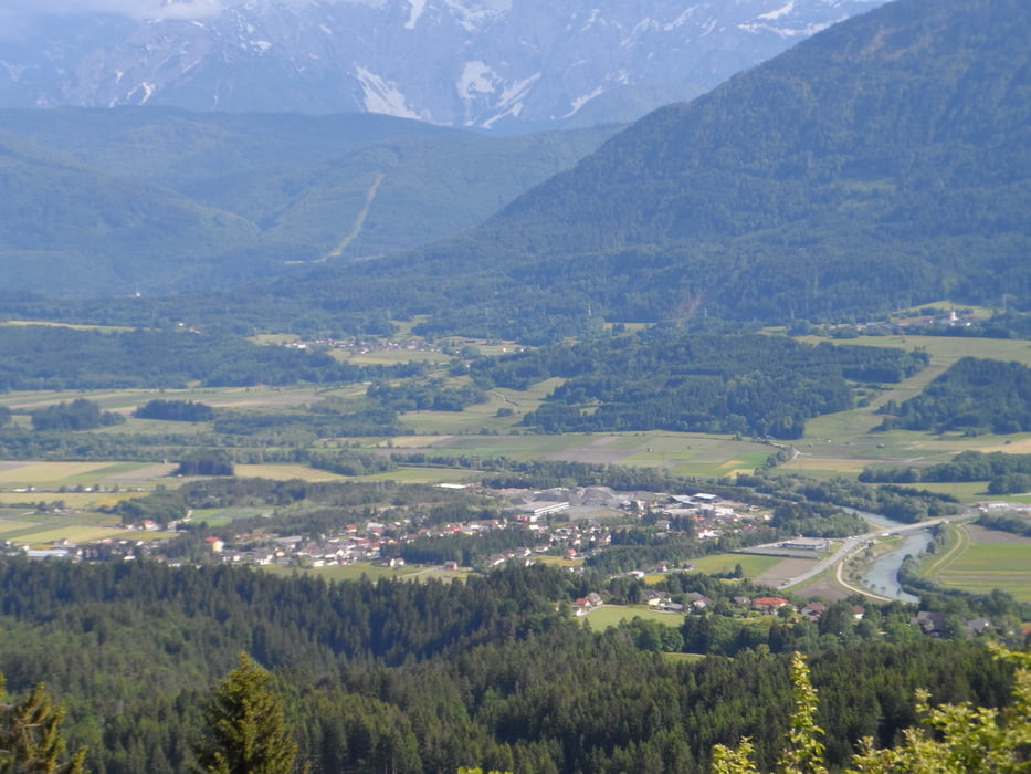
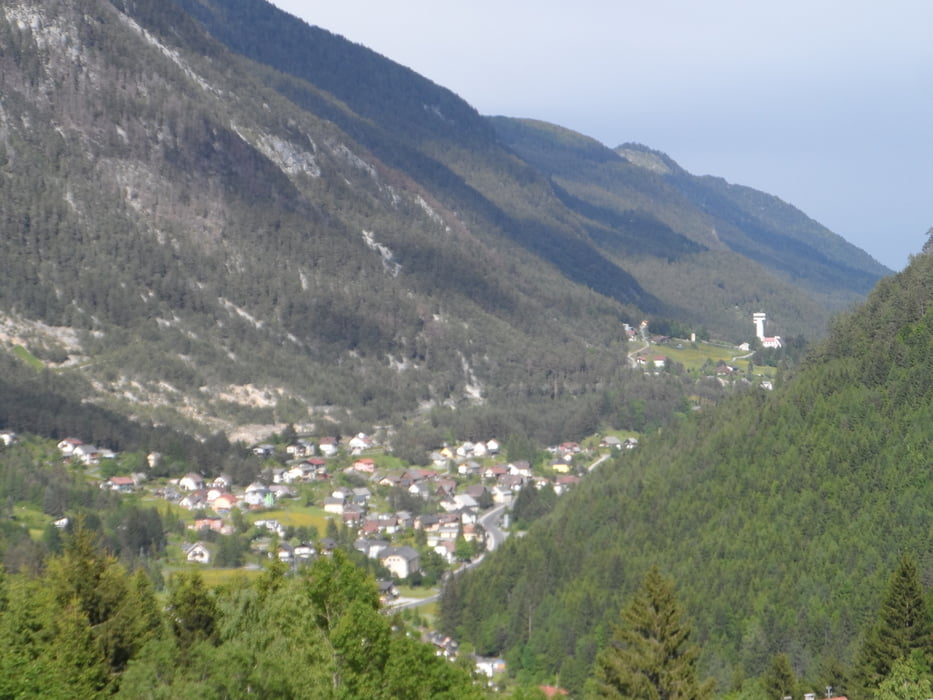
Von Bad Bleiberg bis nach St.Georgen im Gailtal geht es fast nur auf Schotterstraßen und Wiesenwegen.Zurück,rund 6 Kilometer geht es auf Asphalt.

Tour gallery

Tour map and elevation profile

  • Open Street Map
  • Google
Minimum height 680 m Maximum height 1002 m Detailed view

More about the tour author

plazo100
Member since 2009

Send private message

Comments

GPS tracks

Trackpoints
  • GPX / Garmin Map Source (gpx) download
  • TCX / Garmin Training Center® (tcx) download
  • CRS / Garmin Training Center® (crs) download
  • Google Earth (kml) download
  • G7ToWin (g7t) download
  • TTQV (trk) download
  • Overlay (ovl) download
  • Fugawi (txt) download
  • Kompass (DAV) Track (tk) download
  • Track data sheet (pdf) download
  • Original file of the author (gpx) download

More about the tour author

plazo100
Member since 2009

Send private message
Share track
Add to my favorites
Remove from my favorites
Edit tags
My score
Rate
Track: Bad Bleiberg Einstiegstour West
Type: Mountain bike
Distance: 23,8 km
Evaluated on:
Duration:
Day(s)
Hour(s)
Minute(s)
Score: Landscape Fun factor Fitness Technique