


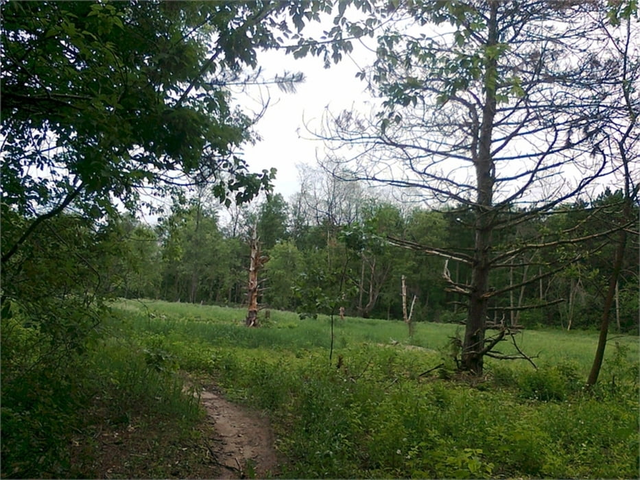
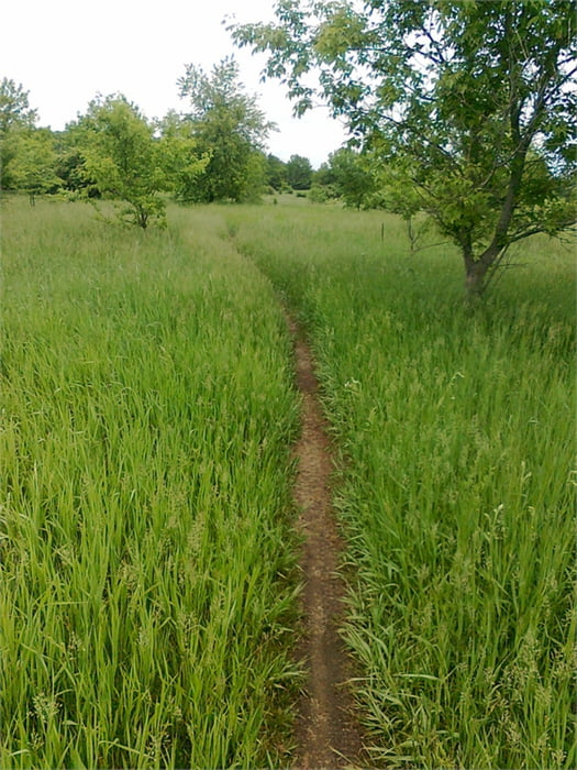
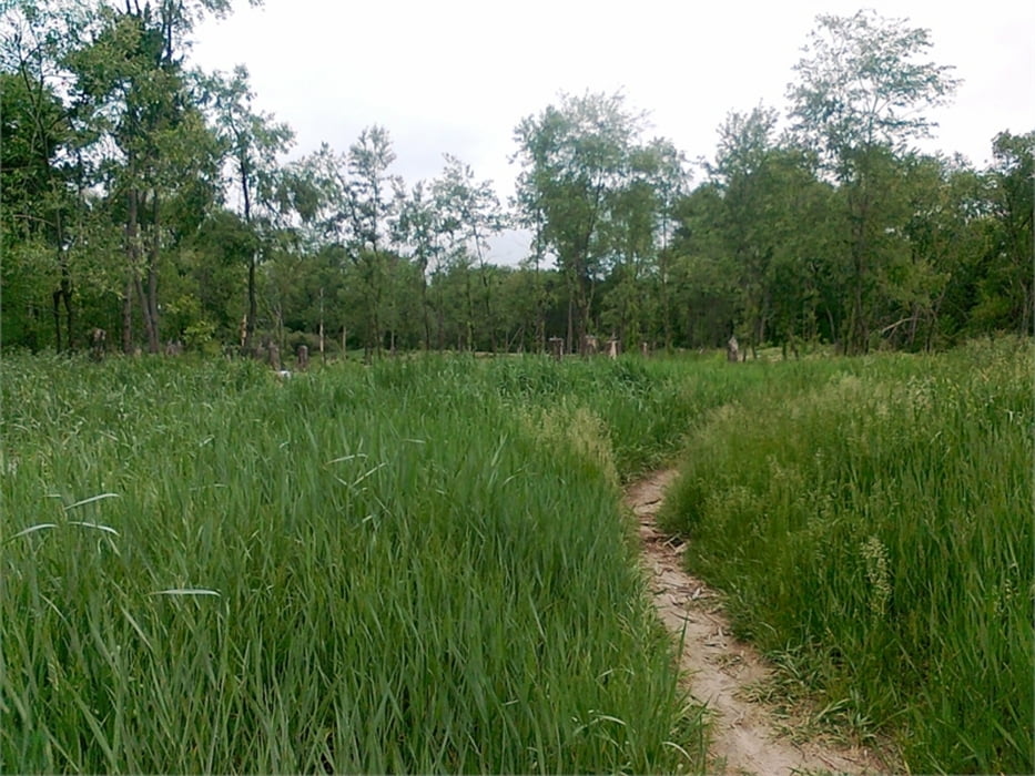
Der etwas anspruchsvollere Emma-Carlin-Trail ist direkt mit dem John-Muir-Trail über zwei separate Connector-Trails verbunden. Diese zweigen auf der blauen John-Muir-Runde nach ca. 8 km deutlich gekennzeichnet ab. Die aufgeführte Tour bietet tolle Singletrails über die gesamten 40 km.
Der Park ist zwar kostenpflichtig, aber mit nur 4 Dollar pro Tag, inkl. fliessendem Wasser, Toiletten, Parkplatz und gepflegten Trails eher ein Schnäppchen. Der 'Eintritt' sollte in passenden Scheinen mitgeführt werden, da man seine Personalien auf einem Durchschlagformular hinterlässt und dieses mit besagten Scheinen in einen bereitgestellten Umschlag in eine Art Briefkasten wirft.
Tour gallery

Tour map and elevation profile
Minimum height 259 m
Maximum height 316 m
More about the tour author
|
|
ablees |
Comments

Der Trail ist über folgende Strassen zu erreichen: IS 94 Milwaukee->Madison / Abfahrt zum US 67 (Kettle Moraine Scenic Drive) / re. -> US 12 / re. -> CR H.
Auf dem US 12 befindet sich direkt am Abzweig zur CR H im Dorf 'La Grange' ein unscheinbarer Bikeshop namens 'General Store and Backyard Bikes' (www.backyardbikes.com). Das tolle an diesem Shop ist, dass man sich hier sein Bike sogar online reservieren, sein Auto vor Ort stehen lassen und direkt per Bike auf dem CR H Richtung John-Muir-Trail-Park oder Emma-Carlin-Trail-Park starten kann.
GPS tracks
Trackpoints-
GPX / Garmin Map Source (gpx) download
-
TCX / Garmin Training Center® (tcx) download
-
CRS / Garmin Training Center® (crs) download
-
Google Earth (kml) download
-
G7ToWin (g7t) download
-
TTQV (trk) download
-
Overlay (ovl) download
-
Fugawi (txt) download
-
Kompass (DAV) Track (tk) download
-
Track data sheet (pdf) download
-
Original file of the author (gpx) download
More about the tour author
|
|
ablees |
Add to my favorites
Remove from my favorites
Edit tags
Open track
My score
Rate