
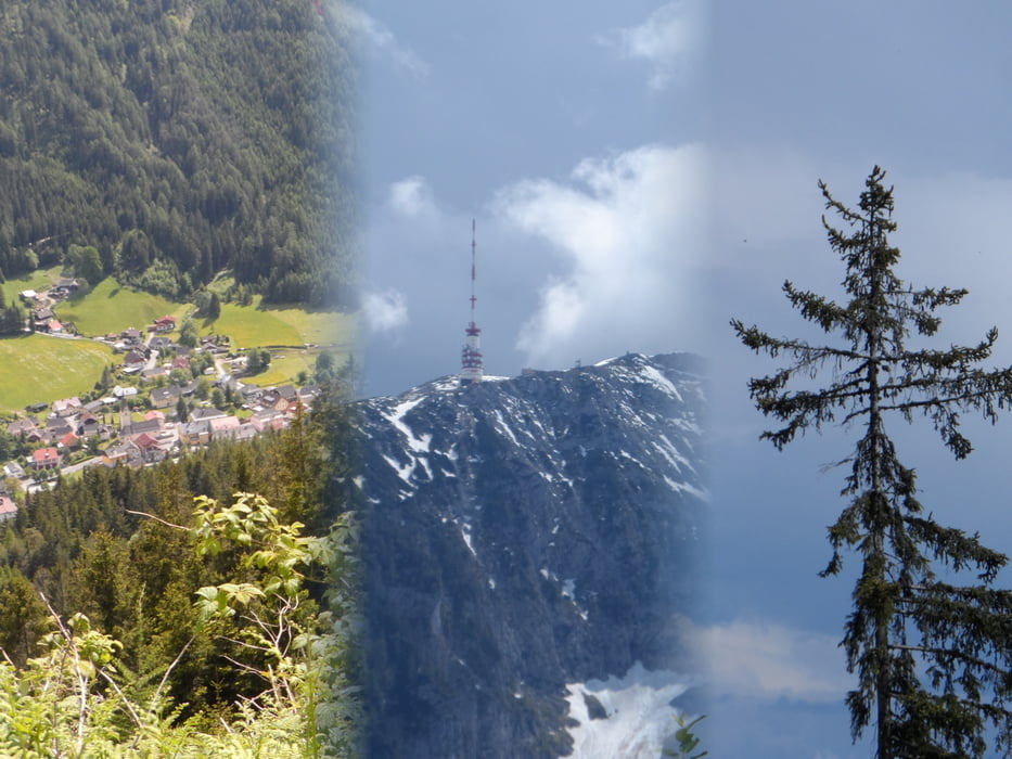

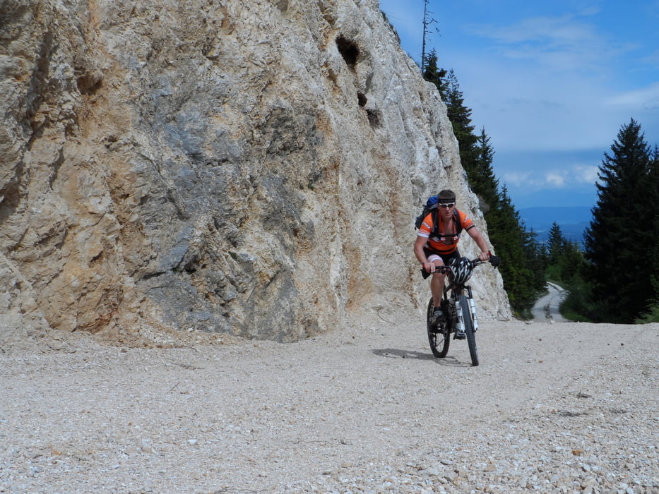
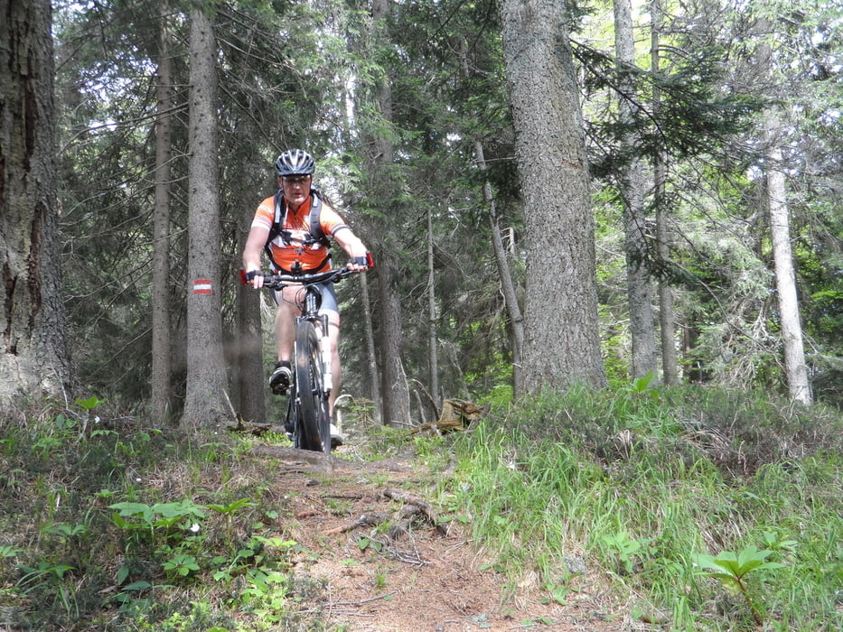
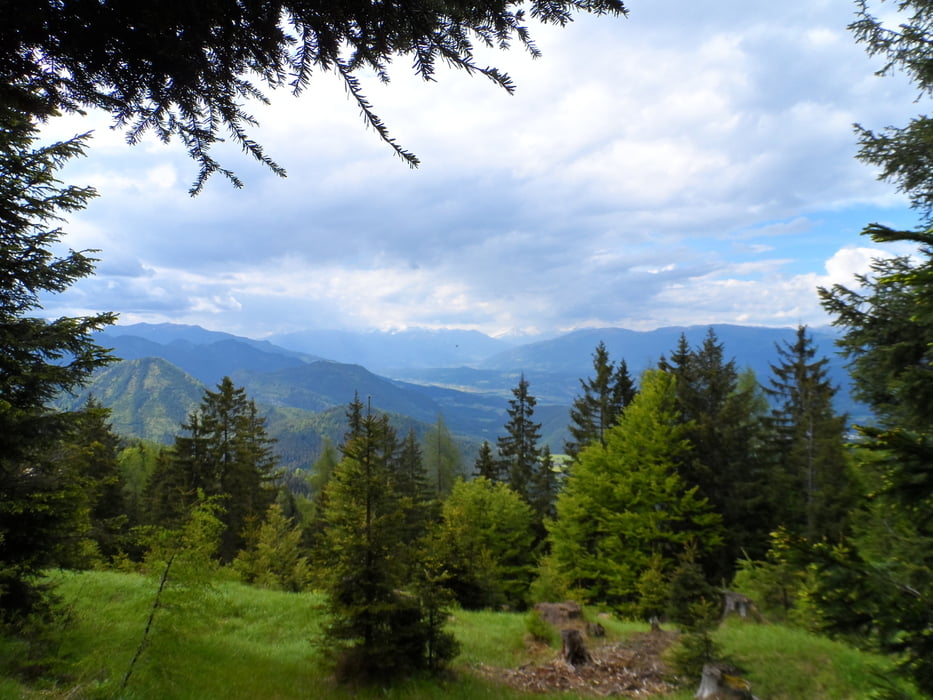
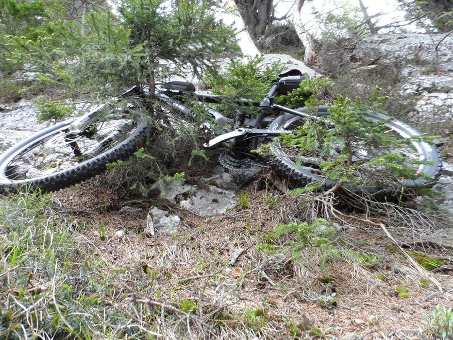
Gleich vorweg,die Tour ab dem Wanderweg (Pfad) ist nur für Hartgesottene,sehr viel schieben und tragen.Und das letzte Stück wieder zurück auf die Forststrasse ist extrem steil und kein Pfad.Von Bad Bleiberg geht es gleich mal auf eine Forststrasse,immer mit tollen Ausblick auf das Tal und den Dobratsch.auf der Hachel beginnt der Wanderweg (Pfad).Wer das extreme nicht will,biite an diesem Punkt umkehren und zurück ins Tal.
Tour gallery
Tour map and elevation profile
Minimum height 952 m
Maximum height 1556 m
More about the tour author
|
|
plazo100 |
Comments

GPS tracks
Trackpoints-
GPX / Garmin Map Source (gpx) download
-
TCX / Garmin Training Center® (tcx) download
-
CRS / Garmin Training Center® (crs) download
-
Google Earth (kml) download
-
G7ToWin (g7t) download
-
TTQV (trk) download
-
Overlay (ovl) download
-
Fugawi (txt) download
-
Kompass (DAV) Track (tk) download
-
Track data sheet (pdf) download
-
Original file of the author (gpx) download
More about the tour author
|
|
plazo100 |
Add to my favorites
Remove from my favorites
Edit tags
Open track
My score
Rate