Login

Forgotten password?

Cookies have to be accepted!
Your browser's cookie functionality is disabled. Please enable this functionality.

Not a member yet?

Register now
Login

Available for registred users only

Log in to use this feature.

Forgotten password?

Cookies have to be accepted!
Your browser's cookie functionality is disabled. Please enable this functionality.

Not a member yet?

Register now
Filter
Categories
Advanced filters
  • Distance (km)
  • Height
Save filters Reset filter

TrackRank

QRCode

Technical data

Distance58,9 km Height819 m Way down803 m Duration04:22 h:m Date08.06.2013
Scores Author Landscape Fun factor Fitness Technique

Statistics

783 Views Scores 41 Downloads Average
Rate
  • Track data sheet
  • Directions
  • Downloads
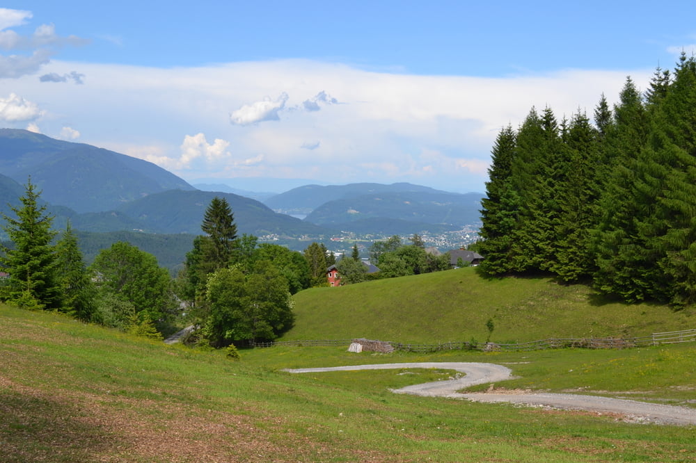
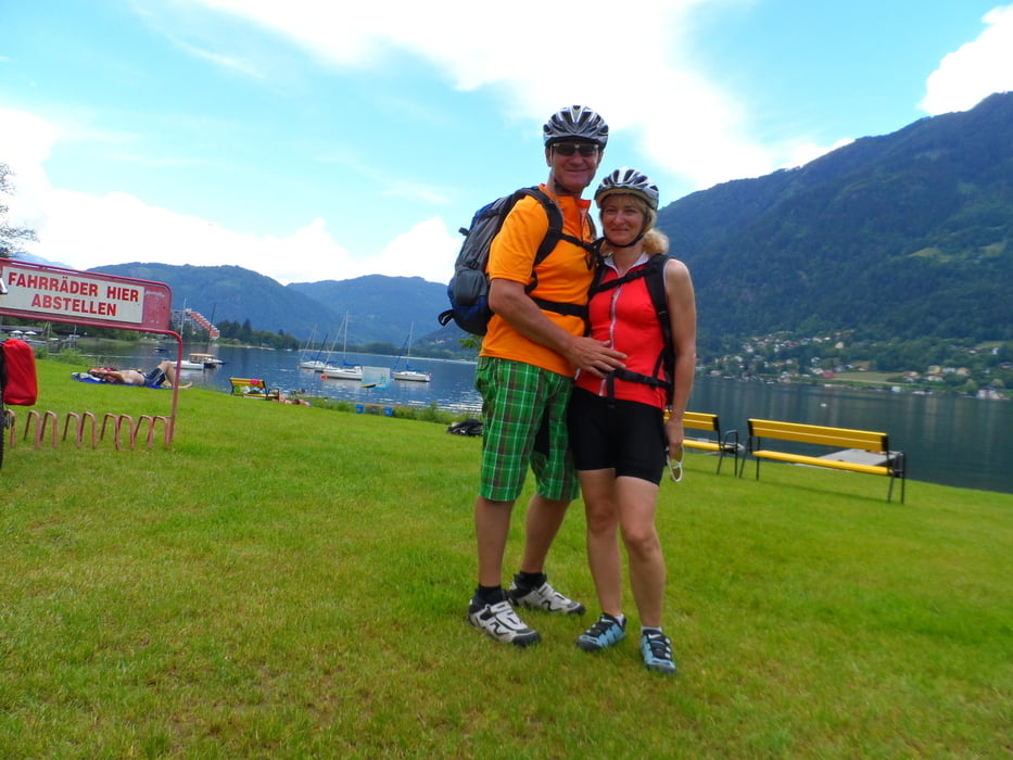
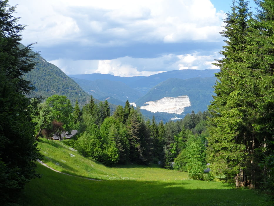
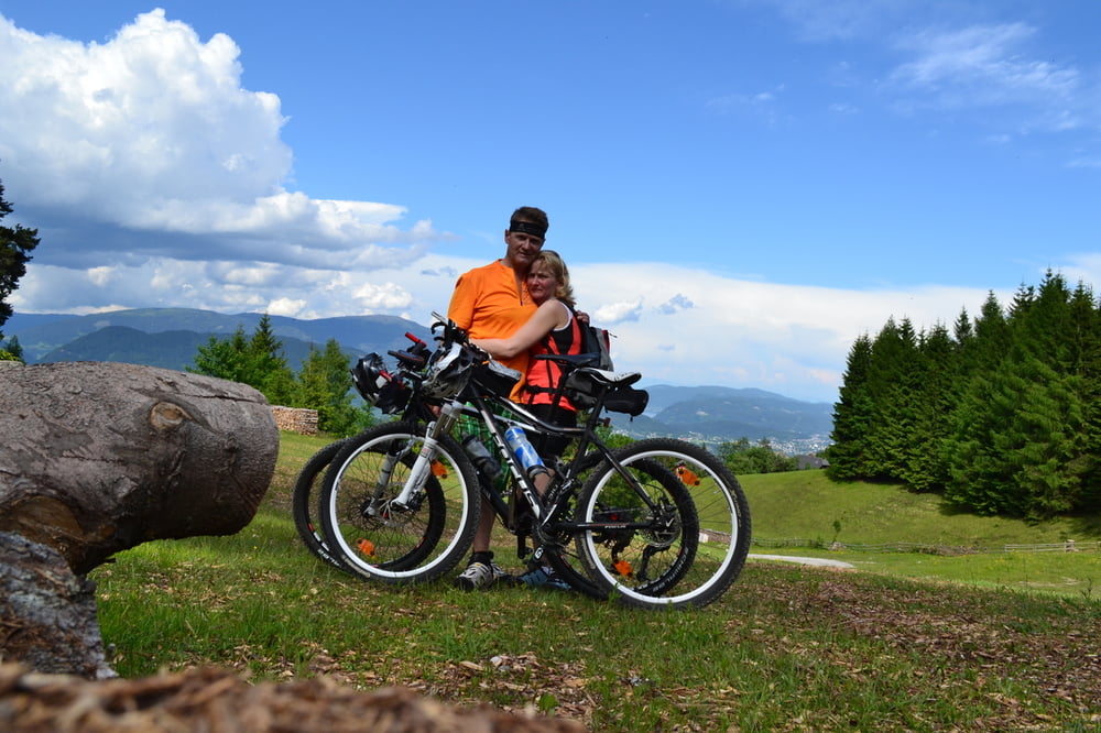
Eine Tour vom Berg ins Tal (See) und zurück.Sehr viel auf Schotter und Drauradweg.Bad Bleiberg-Töplitsch-auf Drauradweg nach Villach-weiter über Radwege zum Ossiachersee-Zurück nach Villach Altstadt/Fußgängerzone-und weiter über Pogöriach nach Heiligen Geist und Bad Bleiberg.

Tour gallery

Tour map and elevation profile

  • Open Street Map
  • Google
Minimum height 499 m Maximum height 987 m Detailed view

More about the tour author

plazo100
Member since 2009

Send private message

Comments

GPS tracks

Trackpoints
  • GPX / Garmin Map Source (gpx) download
  • TCX / Garmin Training Center® (tcx) download
  • CRS / Garmin Training Center® (crs) download
  • Google Earth (kml) download
  • G7ToWin (g7t) download
  • TTQV (trk) download
  • Overlay (ovl) download
  • Fugawi (txt) download
  • Kompass (DAV) Track (tk) download
  • Track data sheet (pdf) download
  • Original file of the author (gpx) download

More about the tour author

plazo100
Member since 2009

Send private message
Share track
Add to my favorites
Remove from my favorites
Edit tags
My score
Rate
Track: Bad Bleiberg-Vom Berg zum See
Type: Mountain bike
Distance: 58,9 km
Evaluated on:
Duration:
Day(s)
Hour(s)
Minute(s)
Score: Landscape Fun factor Fitness Technique