


Mit öffentlichen Verkehrsmitteln Anfahrt nach Bahnhof Königswinter, von dort mit dem Bus 521 (Richtung Oberpleis) bis Königswinter-Ittenbach Margarethenhöhe (dort gibt es auch einen Parkplatz)
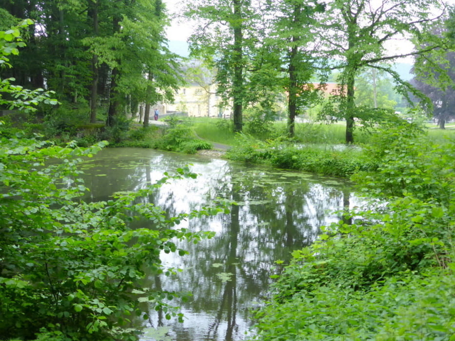
Auf bequemen Wegen über Petersberg, Kloster Heisterbach übers Mühlenthal nach Oberdollendorf - herrliche Natur
Rückfahrt vom Bahnhof Niederdollendorf nach Köln, Koblenz etc
Einkehrmöglichkeiten
Bistro Café Petersberg (Steigenberger Gruppe)
Klosterstube Heisterbach (http://www.klosterstube-heisterbach.de/)
Weinhaus Gut Sülz, Oberdollendorf (http://weinhaus-gutsuelz.de/Weinhaus_Gut_Suelz_ausgezeichnete_Weine.html)
Weinhaus Lichentberg, Oberdollendorf (http://www.weinhaus-lichtenberg.de/ )
Further information at
http://www.ich-geh-wandern.de/rheinsteig-etappe-22-k%C3%B6nigswinter-niederdollendorfTour gallery


Tour map and elevation profile
Minimum height 23 m
Maximum height 434 m
More about the tour author
|
|
horst1508 |
Comments

GPS tracks
Trackpoints-
GPX / Garmin Map Source (gpx) download
-
TCX / Garmin Training Center® (tcx) download
-
CRS / Garmin Training Center® (crs) download
-
Google Earth (kml) download
-
G7ToWin (g7t) download
-
TTQV (trk) download
-
Overlay (ovl) download
-
Fugawi (txt) download
-
Kompass (DAV) Track (tk) download
-
Track data sheet (pdf) download
-
Original file of the author (gpx) download
More about the tour author
|
|
horst1508 |
Add to my favorites
Remove from my favorites
Edit tags
Open track
My score
Rate