

Route 17 aus dem Droste Wanderführer Remscheid/Solingen.
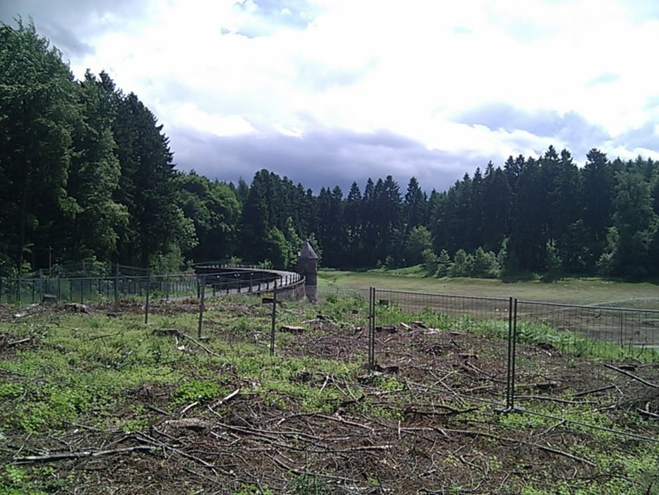
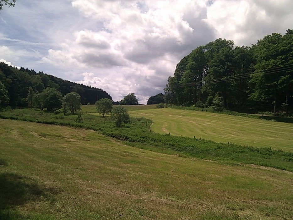
Uns erwarten schöne Wälder und weite Felder. Wir überqueren, manchmal recht abenteuerlich Bäche und durchstreifen Wiesen mit mannhohen Gräsern.
Eine schöne Wanderung, die die Landschaft schön in Szene setzt. Leider im Wanderführer teilweise ungenau beschrieben, was unsere Wanderung etwas länger und abenteurlicher werden ließ. Ich habe das aber im Track korrigiert.
Tour gallery


Tour map and elevation profile
Minimum height 265 m
Maximum height 337 m
More about the tour author

|
TobyDean |
Comments

Parken kann man in den Seitenstrassen am Startpunkt ohne Probleme.
GPS tracks
Trackpoints-
GPX / Garmin Map Source (gpx) download
-
TCX / Garmin Training Center® (tcx) download
-
CRS / Garmin Training Center® (crs) download
-
Google Earth (kml) download
-
G7ToWin (g7t) download
-
TTQV (trk) download
-
Overlay (ovl) download
-
Fugawi (txt) download
-
Kompass (DAV) Track (tk) download
-
Track data sheet (pdf) download
-
Original file of the author (gpx) download
More about the tour author
|
|
TobyDean |
Add to my favorites
Remove from my favorites
Edit tags
Open track
My score
Rate