


Ausgehend von einem Parkplatz an der Wupper, geht es bald hinauf zum Ehrenberg.
In einem großen Bogen geht es weiter um Beyenburg herum und später runter nach Beyenburg.
An der Wupper entlang geht es zum Parkplatz zurück.
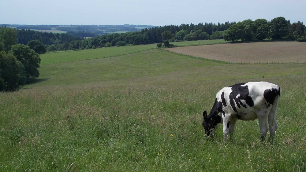
Es geht an einigen Stellen gut rauf und runter - die Landschaft entschädigt aber, es ist hier wunderschön!
Gruß aus Wuppertal
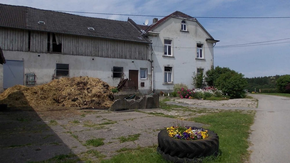
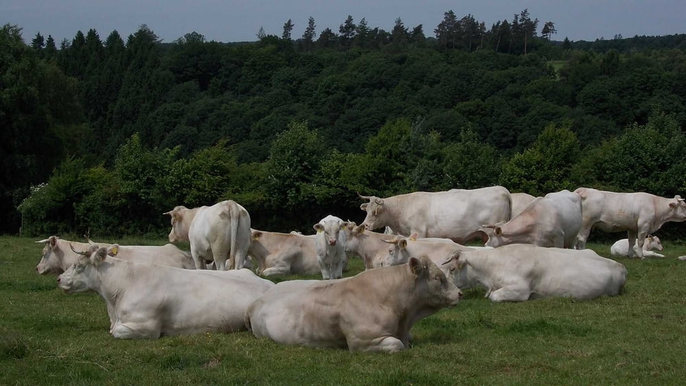
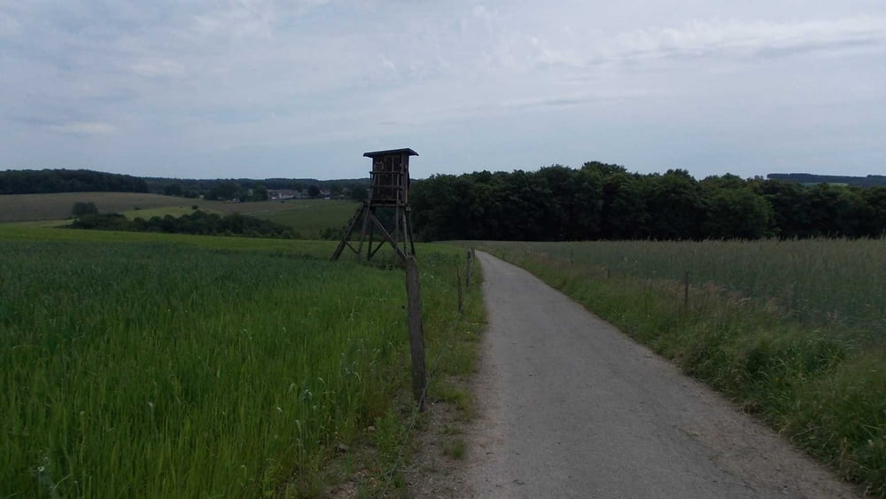
Tour gallery
Tour map and elevation profile
Minimum height 178 m
Maximum height 357 m
More about the tour author

|
Uerigefan |
Comments

Auto Navi: Theodor-Schröder-Weg, 42399 Wuppertal - der Parkplatz ist direkt vor der Wupper und leicht zu finden.
GPS tracks
Trackpoints-
GPX / Garmin Map Source (gpx) download
-
TCX / Garmin Training Center® (tcx) download
-
CRS / Garmin Training Center® (crs) download
-
Google Earth (kml) download
-
G7ToWin (g7t) download
-
TTQV (trk) download
-
Overlay (ovl) download
-
Fugawi (txt) download
-
Kompass (DAV) Track (tk) download
-
Track data sheet (pdf) download
-
Original file of the author (gpx) download
More about the tour author
|
|
Uerigefan |
Add to my favorites
Remove from my favorites
Edit tags
Open track
My score
Rate