

Start der Tour ist bei der Autobahnbrücke zwischen Sittendorf und Gaaden
von hier über Straßen und Forststraßen nach Siegenfeld und Rosenthal.
Von Rosenthal über den Kleespitz (Wanderweg) ins Helenental und weiter zur Augustinerhütte.
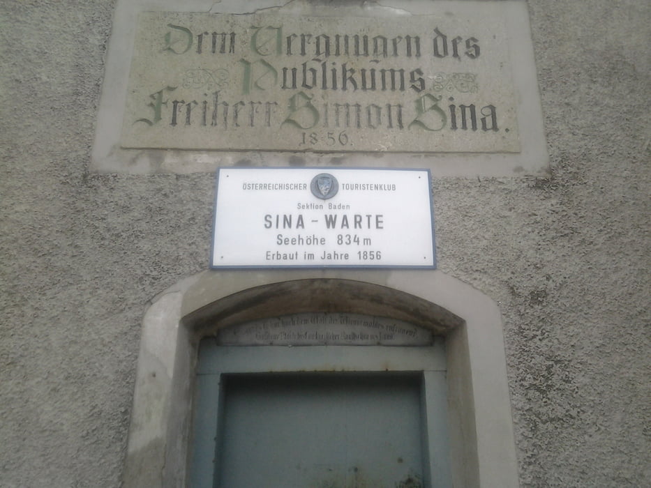
Ab der Augustinerhütte MTB-Lindkogelstrecke bis zum Schutzhaus am Hohen Lindkogel.
Vom Schutzhaus wieder retour bis zum Zobelhof
und über die Straße runter bis Schwechatbach.
Entlang der MTB-Helenentalstrecke geht es über Mayerling nach Heiligenkreuz.
Von hier über die Straße zurück nach Sittendorf.
Tour map and elevation profile
Minimum height 303 m
Maximum height 843 m
More about the tour author
|
|
kersti |
Comments

Parkmöglichkeit Sportplatz Sittendorf
GPS tracks
Trackpoints-
GPX / Garmin Map Source (gpx) download
-
TCX / Garmin Training Center® (tcx) download
-
CRS / Garmin Training Center® (crs) download
-
Google Earth (kml) download
-
G7ToWin (g7t) download
-
TTQV (trk) download
-
Overlay (ovl) download
-
Fugawi (txt) download
-
Kompass (DAV) Track (tk) download
-
Track data sheet (pdf) download
-
Original file of the author (gpx) download
More about the tour author
|
|
kersti |
Add to my favorites
Remove from my favorites
Edit tags
Open track
My score
Rate