


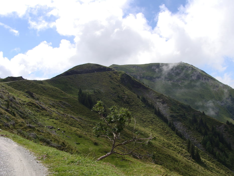
Lupenreine Gipfeltour von Maria Alm/Ortsteil Unternberg bis
vor die Tür des Statzer Hauses auf dem Hundstein mit teils
steilen Passagen bei der Auffahrt.
Am Gipfel gute Einkehrmöglichkeit mit super 360°-Panorama.
Querung zur Schützinger Alm über Singletrails, fahrbare und
Schiebepassagen in steten Wechsel.
Optionaler Abstecher zum Maishofener Schwalbenwand-Gipfel,
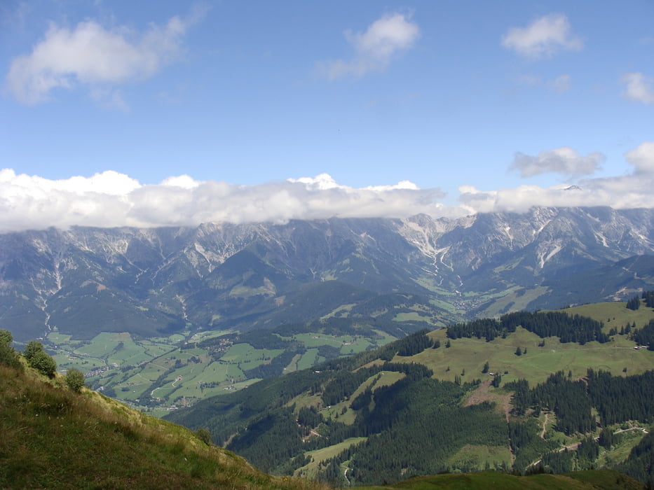
Danach Abfahrt über Singletrails, anfangs sehr leicht, später
anspruchsvoller, am Mitterberger Hof mündet man wieder auf die
Forststraße, bald darauf geht es auf Asphalt bergab.
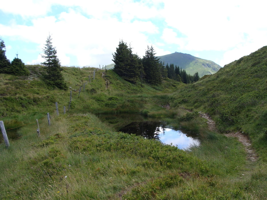
Rückfahrt nach Maria Alm kurz über den Maishofener Höhenweg,
später auf dem Tauernradweg. Am Ende ab Almdorf noch einige
Höhenmeter bergauf, teils auf Schotterwegen bis Unternberg.
Hinweis: Der Trail zur Schützinger Alm unterliegt einem Bike-Verbot
(Schild am Gatter). Aber Schieben darf man ja immer :-)
Further information at
http://www.teutatesonline.netTour gallery
Tour map and elevation profile
Minimum height 773 m
Maximum height 2116 m
More about the tour author

|
Comments
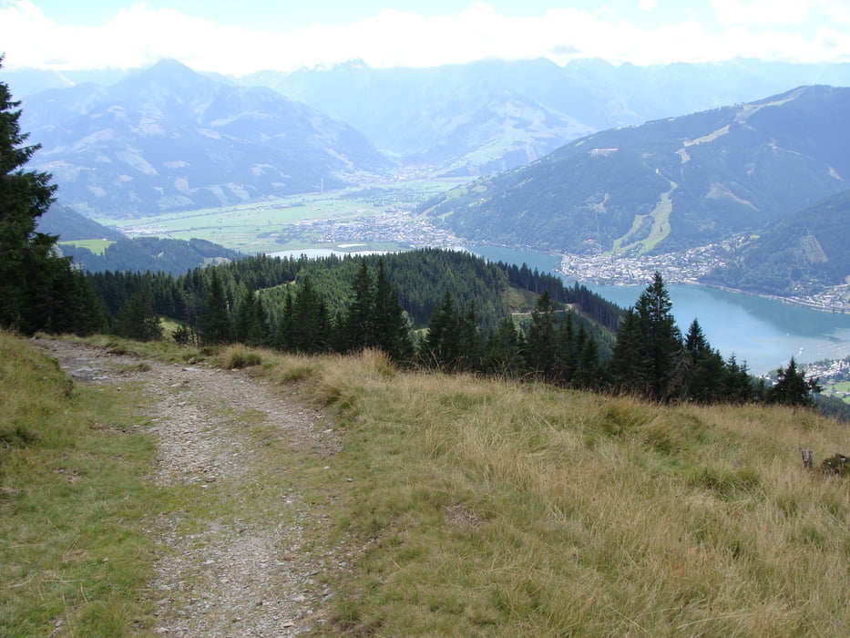
Von der Bundesstraße Lofer-Zell am See biegt man nach Saalfelden ab und hält sich in Richtung Maria Alm. Man folgt der Straße bis zu den Parkplätzen der Aberg-Bergbahnen. Hier kann man unbehelligt parken.
GPS tracks
Trackpoints-
GPX / Garmin Map Source (gpx) download
-
TCX / Garmin Training Center® (tcx) download
-
CRS / Garmin Training Center® (crs) download
-
Google Earth (kml) download
-
G7ToWin (g7t) download
-
TTQV (trk) download
-
Overlay (ovl) download
-
Fugawi (txt) download
-
Kompass (DAV) Track (tk) download
-
Track data sheet (pdf) download
-
Original file of the author (gpx) download
More about the tour author
|
|
Add to my favorites
Remove from my favorites
Edit tags
Open track
My score
Rate
Hundstein - Schwalbenwand
Herzlichen Dank für diese Publikation - gehört in den Salzburger Bergen wohl zu den schönsten MTB Touren - der Grattrail zur Schwalbenwand ist einfach genial - die ganze Tour ist schlichtweg ein Hammer!!!
Kleine Kritik: die angegebene Fahrzeit ist sehr knapp bemessen - da bliebe für Fotos keine Zeit mehr ...
Hundsteinrunde
Wow
We dide this track early June when it was 30 degrees and I can say if an austrian gives 5 stars to a route for "condition" those are 10 stars for someone from the flat, under the sea, no mountains Netherlands!! Wow!
As previous comment said that the tour is a hammer well for me more a Bulldozer!
But the journey down makes it all worth, especially the initial part is genius!
Thanks for the track (also on behalf of my physiotherapist who now has a pool in his garden thanks to the money that was needed to get the cramp out of my calves)