


Der Anaconda-Trail ist eine Tour nur für diejenigen, die gut downhill fahren können. Wer sich nicht sicher sein sollte, der sollte sich z. B. den Artikel von dem kanadischen Freeride-Pro Andrew Shandro anschauen. Einen Film gibt es auch unter www.gardaonbike.com/de/downhill-freeride-at-lake-garda.
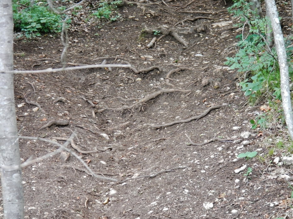
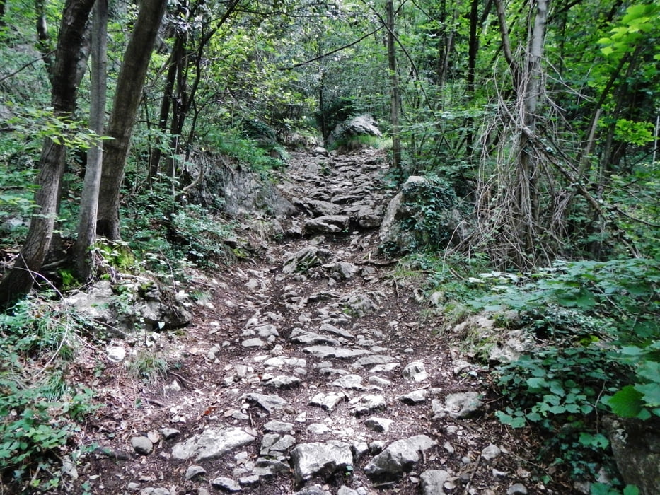
Am Anfang geht es mit langer Auffahrt auf wenig befahrener Teerstrasse nach St. Barbara. Danach geht es nur noch abwärts. Die Bilder zeigen die verschiedenen Untergründe.
Wem zwischendurch der Anaconda Supertrail zu heftig wird: Man kann auch eine andere Abfahrt zurück nach Torbole wählen: www.gps-tour.info/de/touren/detail.132411.html
Am Schluss gibt es noch einen kurzen Abstecher zum Castel Penede www.comune.nago-torbole.tn.it/context.jsp.
Alle Bilder der Tour gibt es hier: www.panoramio.com/photo/92439917
Further information at
http://www.visitgarda.com/de/tourismus-informationen-gardasee/Tour gallery
Tour map and elevation profile
Minimum height 41 m
Maximum height 1165 m
More about the tour author
|
|
MatthiasBy |
Comments

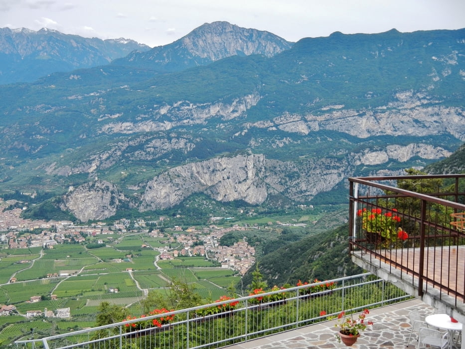
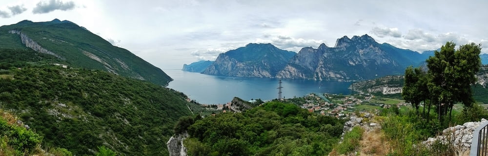
Gestartet wird in Torbole www.comune.nago-torbole.tn.it/. Man kann natürlich auch woanders in die Tour einsteigen.
GPS tracks
Trackpoints-
GPX / Garmin Map Source (gpx) download
-
TCX / Garmin Training Center® (tcx) download
-
CRS / Garmin Training Center® (crs) download
-
Google Earth (kml) download
-
G7ToWin (g7t) download
-
TTQV (trk) download
-
Overlay (ovl) download
-
Fugawi (txt) download
-
Kompass (DAV) Track (tk) download
-
Track data sheet (pdf) download
-
Original file of the author (gpx) download
More about the tour author
|
|
MatthiasBy |
Add to my favorites
Remove from my favorites
Edit tags
Open track
My score
Rate