


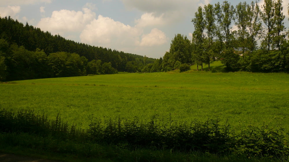
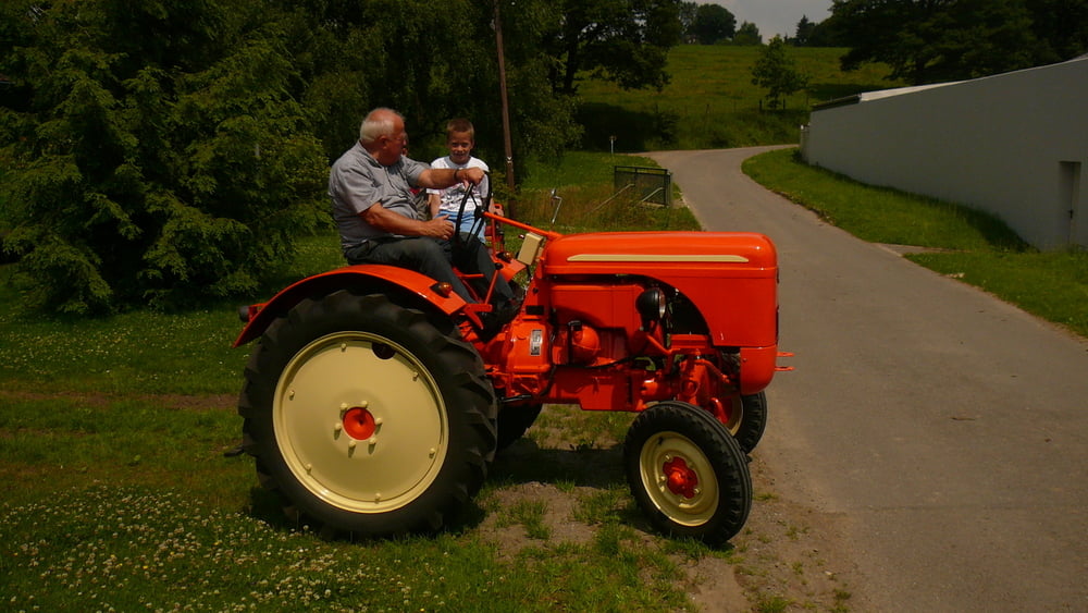
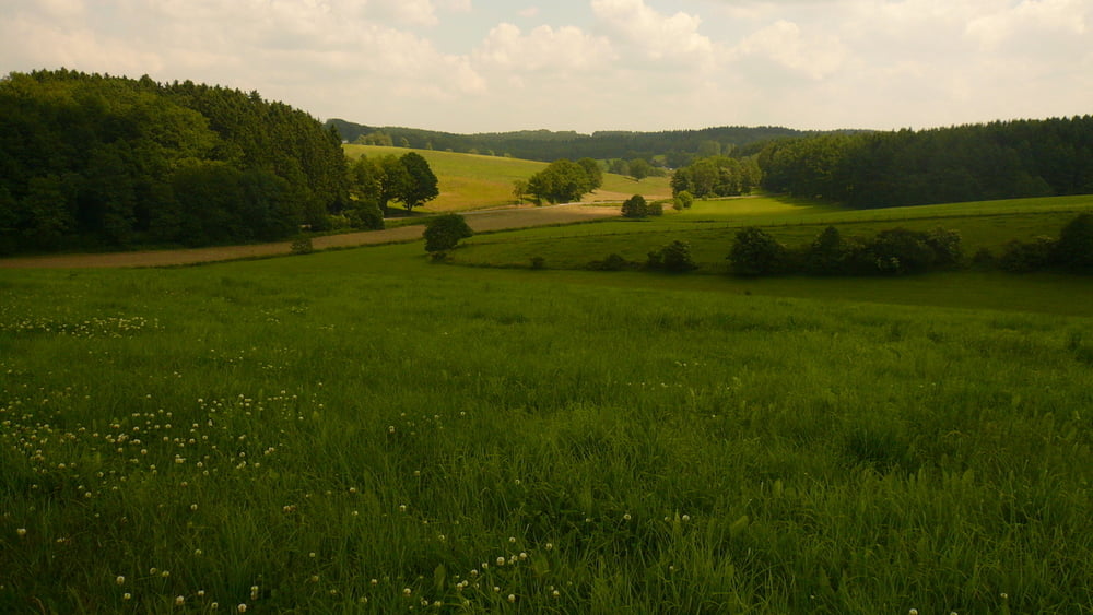
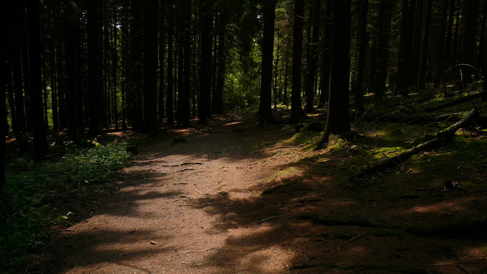
Start in der Falkenstraße, über den Kreisel in den Langenscheid und am Heider Teich vorbei, durch den "Krötentunnel" auf die L 528 Ri. Breckerfeld, nach li- Ri. Edelkirchen und nach li. durch den Wald bis Beisen, ins Ennepetal und bis zur Brücke und auf der Asphaltstraße wieder zurück (zur B229), überqueren und weiter Ri. Stenkenberg (mit einem Treckererlebnis- sh. Foto) und hoch nach Anschlag, über den Radweg bis zu den Fischteichen und nach re. durch den Wald zum Sportplatz, weiter über die Howarde zum Freibad Herpine.
2.Teil folgt.
Tour gallery
Tour map and elevation profile
Minimum height 258 m
Maximum height 442 m
More about the tour author
|
|
neuser |
Comments

GPS tracks
Trackpoints-
GPX / Garmin Map Source (gpx) download
-
TCX / Garmin Training Center® (tcx) download
-
CRS / Garmin Training Center® (crs) download
-
Google Earth (kml) download
-
G7ToWin (g7t) download
-
TTQV (trk) download
-
Overlay (ovl) download
-
Fugawi (txt) download
-
Kompass (DAV) Track (tk) download
-
Track data sheet (pdf) download
-
Original file of the author (gpx) download
More about the tour author
|
|
neuser |
Add to my favorites
Remove from my favorites
Edit tags
Open track
My score
Rate