


Rundtour: Freising - Ampertal - Lohof - Neufahrn - Freising
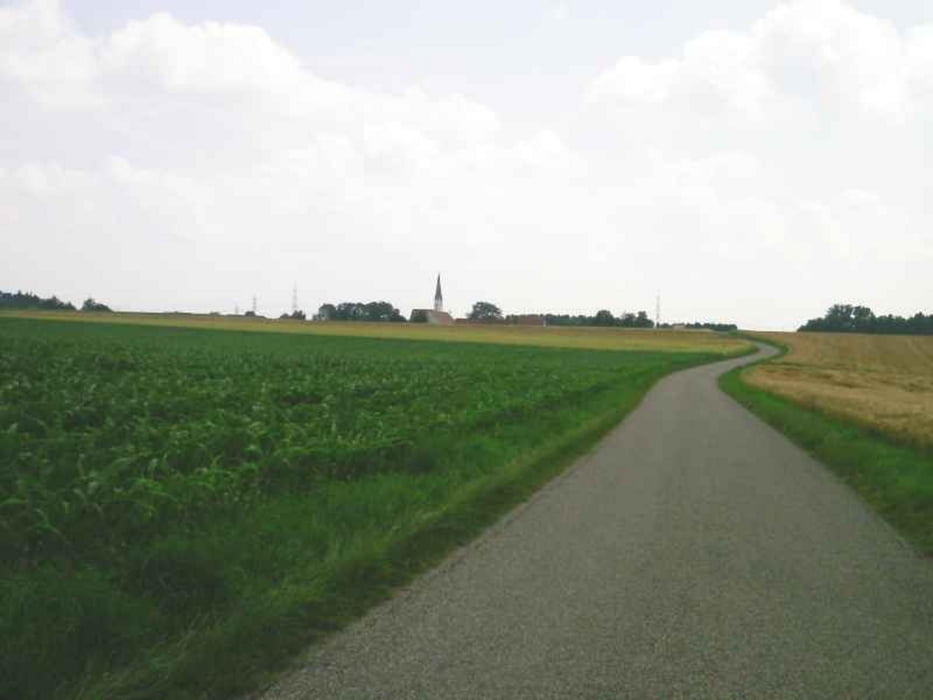
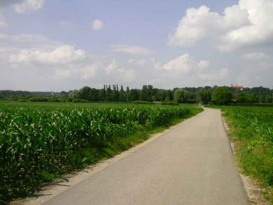
Von Freising aus fuhr ich ins Ampertal, dann Fluß aufwärts bis Haimhausen, weiter ostwärts nach Lohhof und an der Bahnline München-Freising entlang bis Neufahrn. Durch das Pullinger Moos gelangte ich wieder zurück nach Freising,
Größe Steigungen gibt es kaum auf der recht einfach zu fahrenden Strecke, nur in Freising bis zur Waldsiedlung und von Haimhausen nach Inhausen geht es bergauf. Die Wege sind bis Lohof gut ausgebaut, an der Bahnlinie bis Neufahrn sind sie etwas schottrig, ab Neufahrn radelt man auf Nebenstraßen. Es gibt nur wenig Schatten auf dieser Tour.
In Freising, Lohof, Eching und Neufahrn besteht S-Bahnanschluß (S1)
Sehenswert sind die Kirche in Allershausen und das Schloß von Haimhausen, das allerdings nur von Außen besichtigt werden kann. Einkehrmöglichkeiten gibt es in Allershausen und Haimhausen.
Further information at
http://www.muenchen.de/sehenswuerdigkeiten/orte/226833.htmlTour gallery

Tour map and elevation profile
Minimum height 439 m
Maximum height 510 m
More about the tour author

|
freisnger |
Comments

GPS tracks
Trackpoints-
GPX / Garmin Map Source (gpx) download
-
TCX / Garmin Training Center® (tcx) download
-
CRS / Garmin Training Center® (crs) download
-
Google Earth (kml) download
-
G7ToWin (g7t) download
-
TTQV (trk) download
-
Overlay (ovl) download
-
Fugawi (txt) download
-
Kompass (DAV) Track (tk) download
-
Track data sheet (pdf) download
-
Original file of the author (gpx) download
More about the tour author
|
|
freisnger |
Add to my favorites
Remove from my favorites
Edit tags
Open track
My score
Rate