Login

Forgotten password?

Cookies have to be accepted!
Your browser's cookie functionality is disabled. Please enable this functionality.

Not a member yet?

Register now
Login

Available for registred users only

Log in to use this feature.

Forgotten password?

Cookies have to be accepted!
Your browser's cookie functionality is disabled. Please enable this functionality.

Not a member yet?

Register now
Filter
Categories
Advanced filters
  • Distance (km)
  • Height
Save filters Reset filter

TrackRank

QRCode

Technical data

Distance11,9 km Height251 m Way down273 m Duration03:30 h:m Date10.07.2013
Scores Author Landscape Fun factor Fitness Technique

Statistics

7822 Views Scores 316 Downloads Average
Rate
  • Track data sheet
  • Directions
  • Downloads

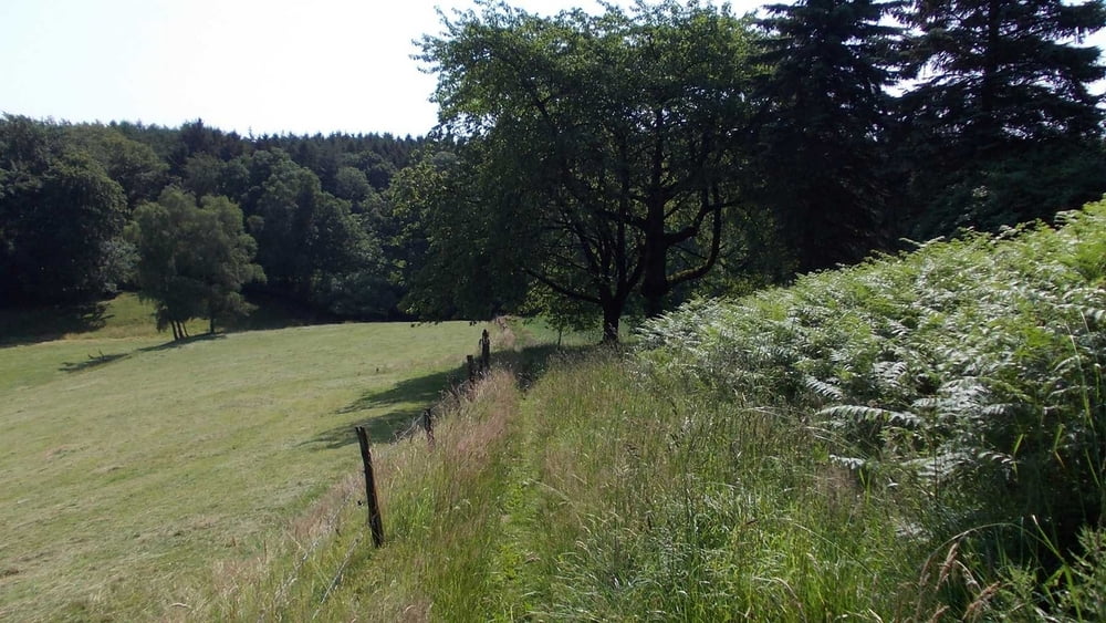
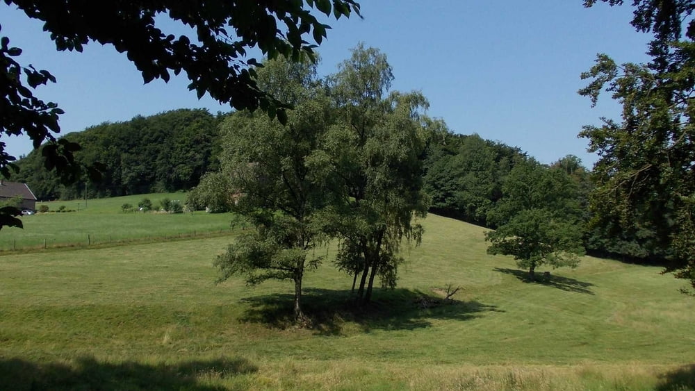
Ausgehend vom Parkplatz Wodanstraße im Wodantal geht es rechts und links des Tals durch die wunderschöne Landschaft.

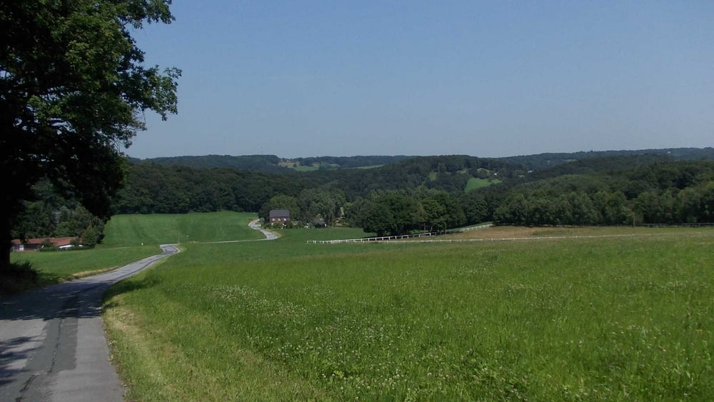
Hinter dem Lockal "Am Hackstück" muß ein Bach übersprungen werden. Dies kann man schaffen, ohne dass die Schuhe naß werden. Feste Wanderschuhe sind aber ratsam.

Viel Spaß


Tour gallery

Tour map and elevation profile

  • Open Street Map
  • Google
Minimum height 115 m Maximum height 253 m Detailed view

More about the tour author

Uerigefan
Member since 2009

Send private message

Comments

ruhrpotti on 16.03.2021

Einfach mal Danke sagen !

Ich wollte einfach mal herzlichen Dank sagen. In Komoot sind die Routen im östlichen Ruhrgebiet rar. Haben uns sehr über diese Inspiration auf GPS-TOUR.INFO gefreut. Danke!
Auto Navi auf   -"Am Brunnen 30, 45527 Hattingen"-   einstellen - aber nicht die letzten ca. 100 m fahren, also nicht vom Wodantal abbiegen, sondern auf dem Parkplatz an der breiten Straße parken.

GPS tracks

Trackpoints
  • GPX / Garmin Map Source (gpx) download
  • TCX / Garmin Training Center® (tcx) download
  • CRS / Garmin Training Center® (crs) download
  • Google Earth (kml) download
  • G7ToWin (g7t) download
  • TTQV (trk) download
  • Overlay (ovl) download
  • Fugawi (txt) download
  • Kompass (DAV) Track (tk) download
  • Track data sheet (pdf) download
  • Original file of the author (gpx) download

More about the tour author

Uerigefan
Member since 2009

Send private message
Share track
Add to my favorites
Remove from my favorites
Edit tags
My score
Rate
Track: Schönes Wodantal bei Sprockhövel und Hattingen
Type: Hiking
Distance: 11,9 km
Evaluated on:
Duration:
Day(s)
Hour(s)
Minute(s)
Score: Landscape Fun factor Fitness Technique