


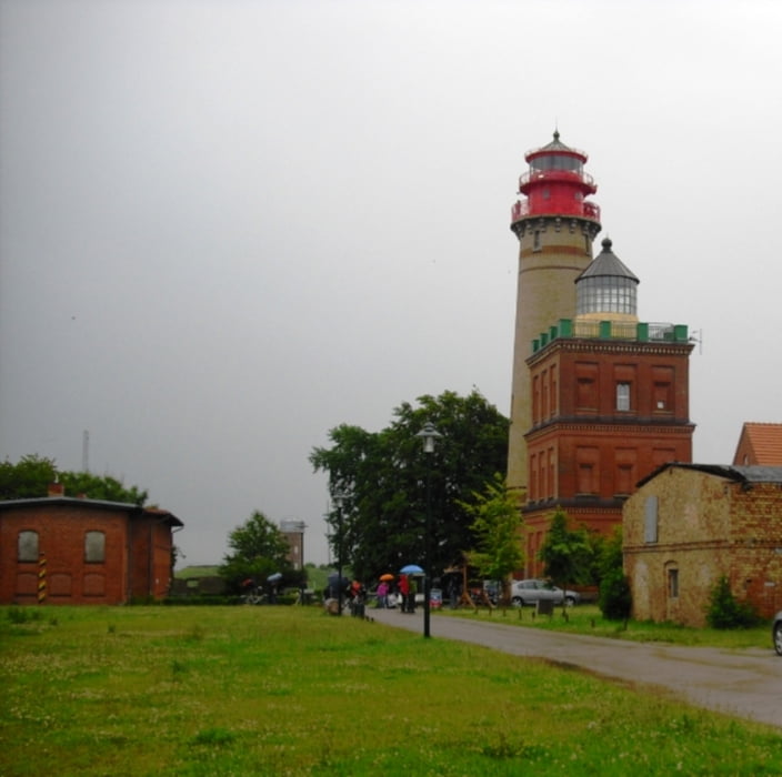
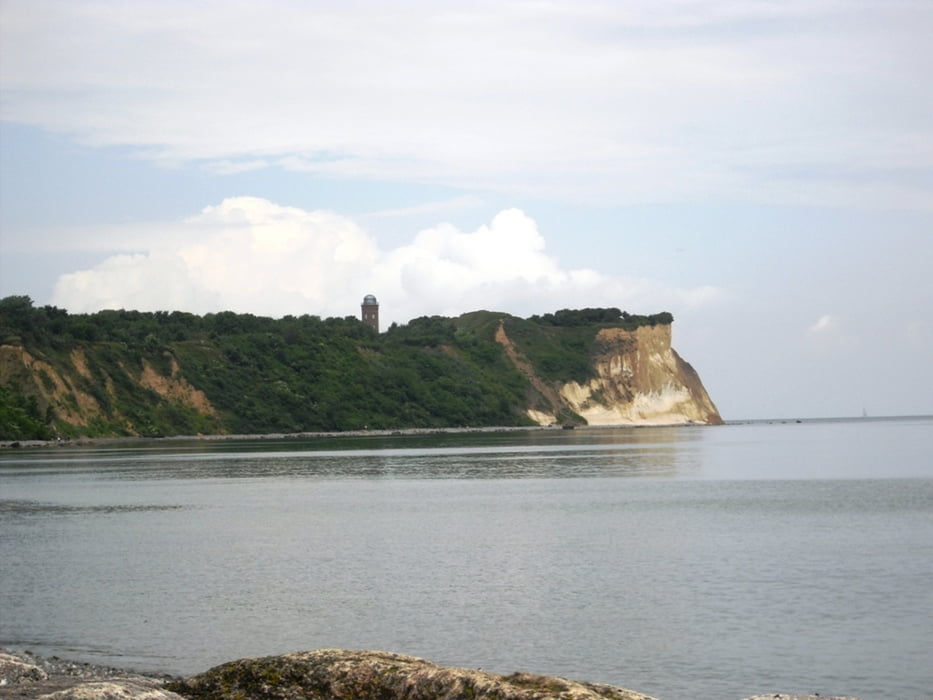
Wir starten in Schaprode (Campingplatz) und kommen großteils auf Schotterwegen zur Wittower Fähre. Weiter gehts nach Wiek und Putgarten. Auf Kap Arkona kann das Museum und der Kreidefelsen besichtigt werden. Noch bessere Sicht auf den Kreidefelsen haben wir vom Fischerort Vitt. Über Juliusruh kommen wir zurück nach Wiek und zur Wittower Fähre.
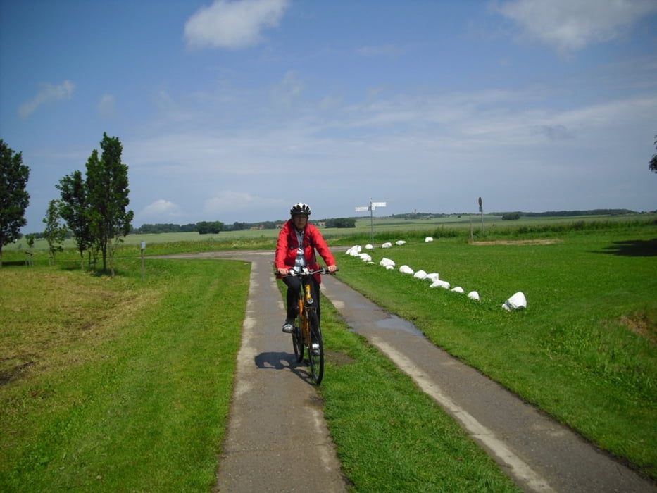
Wir haben die Tour mit Treckingrad gemacht, das MTB wäre aber die bessere Wahl.
Die Aufzeichnung Höhenmeter ist nicht korrekt (Gerät nicht kalibriert vor Start)
Further information at
http://www.camping-schaprode.deTour gallery
Tour map and elevation profile
Minimum height -9 m
Maximum height 37 m
More about the tour author
|
|
Bockrider |
Comments

Von Stralsund auf B96 und auf L30 nach Gingst. Dann nach Trent und Schaprode.
GPS tracks
Trackpoints-
GPX / Garmin Map Source (gpx) download
-
TCX / Garmin Training Center® (tcx) download
-
CRS / Garmin Training Center® (crs) download
-
Google Earth (kml) download
-
G7ToWin (g7t) download
-
TTQV (trk) download
-
Overlay (ovl) download
-
Fugawi (txt) download
-
Kompass (DAV) Track (tk) download
-
Track data sheet (pdf) download
-
Original file of the author (gpx) download
More about the tour author
|
|
Bockrider |
Add to my favorites
Remove from my favorites
Edit tags
Open track
My score
Rate