


Start der Tour ist beim Umkehrplatz in Naggl, von hier geht es über Forststraßen zur Bodenalm und Fischeralm.
Von der Fischeralm hinunter nach Weißenbach.
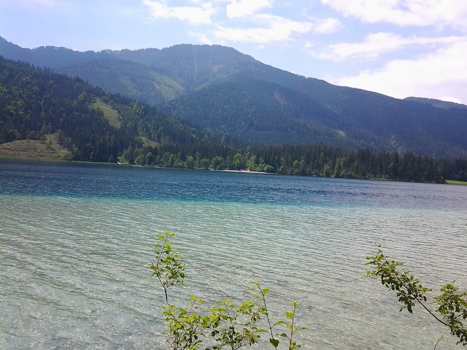
Über Straßen nach Mösel bis zum Ostseeufer (Campingplatz).
Dann die Forststraße Richtung Alm Hinterm Brunn und weiter nach Techendorf.
Über die Brücke und die Seeuferstraße wieder zurück nach Naggl.
Tour gallery
Tour map and elevation profile
Minimum height 908 m
Maximum height 1269 m
More about the tour author
|
|
kersti |
Comments

Gebührenpflichtiger Parkplatz in Naggl oder die Tour in Techendorf beginnen direkt beim Fahrradverleih.
GPS tracks
Trackpoints-
GPX / Garmin Map Source (gpx) download
-
TCX / Garmin Training Center® (tcx) download
-
CRS / Garmin Training Center® (crs) download
-
Google Earth (kml) download
-
G7ToWin (g7t) download
-
TTQV (trk) download
-
Overlay (ovl) download
-
Fugawi (txt) download
-
Kompass (DAV) Track (tk) download
-
Track data sheet (pdf) download
-
Original file of the author (gpx) download
More about the tour author
|
|
kersti |
Add to my favorites
Remove from my favorites
Edit tags
Open track
My score
Rate