


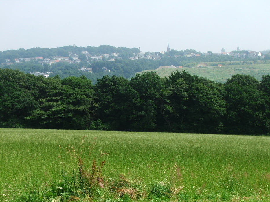
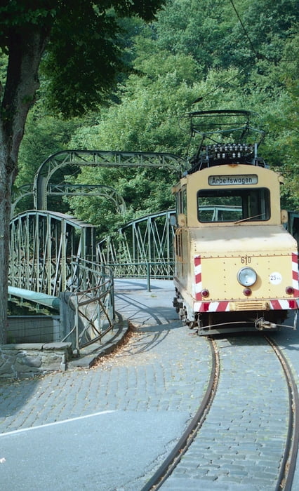
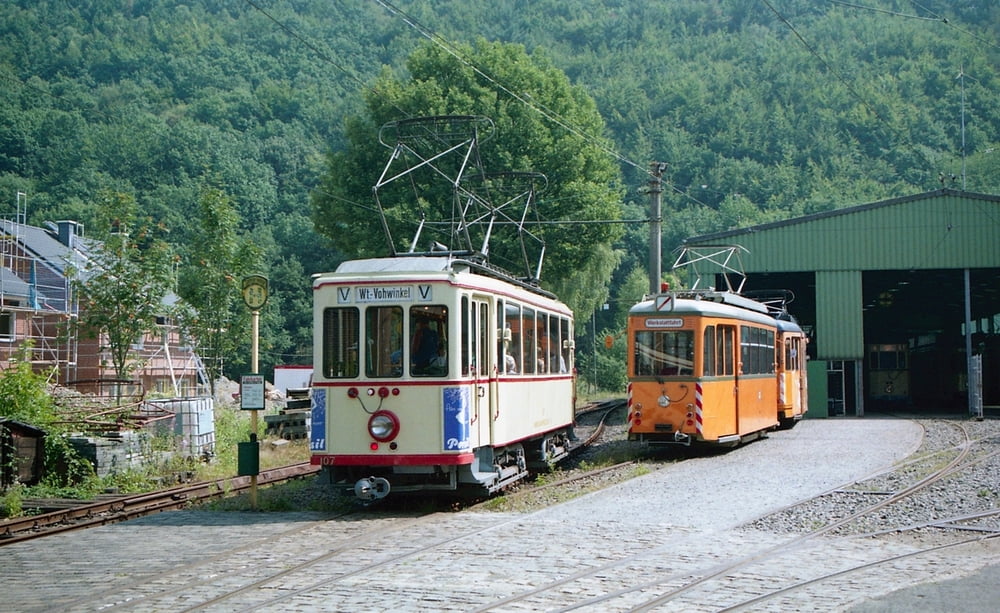
Wegverlauf: Wuppertal=Ronsdorf - Ronsdorfer Talsperre - Gerstau - Schöppenberg - Unterkohlfurth - Kohlfurther Brücke (Straßenbahnmuseum)
Tour gallery
Tour map and elevation profile
Minimum height 116 m
Maximum height 321 m
More about the tour author
|
|
lothardomnik |
Comments

Hinfahrt: von Wuppertal Hbf. mit Buslinien CE62 oder 620 bis Parkstr., 630 bis Holthauser Str.
Rückfahrt: mit Buslinie CE64 von Kohlfurth nach Wuppertal Hbf. oder: mit Museumsstraßenbahn (Fahrplan auf der Homepage Bergische Museumsbahnen) bis zur Endstelle, weiter ab Haltestelle Nettenberg mit Buslinie CE65 oder 625 nach Wuppertal Hbf.
GPS tracks
Trackpoints-
GPX / Garmin Map Source (gpx) download
-
TCX / Garmin Training Center® (tcx) download
-
CRS / Garmin Training Center® (crs) download
-
Google Earth (kml) download
-
G7ToWin (g7t) download
-
TTQV (trk) download
-
Overlay (ovl) download
-
Fugawi (txt) download
-
Kompass (DAV) Track (tk) download
-
Track data sheet (pdf) download
-
Original file of the author (gpx) download
More about the tour author
|
|
lothardomnik |
Add to my favorites
Remove from my favorites
Edit tags
Open track
My score
Rate