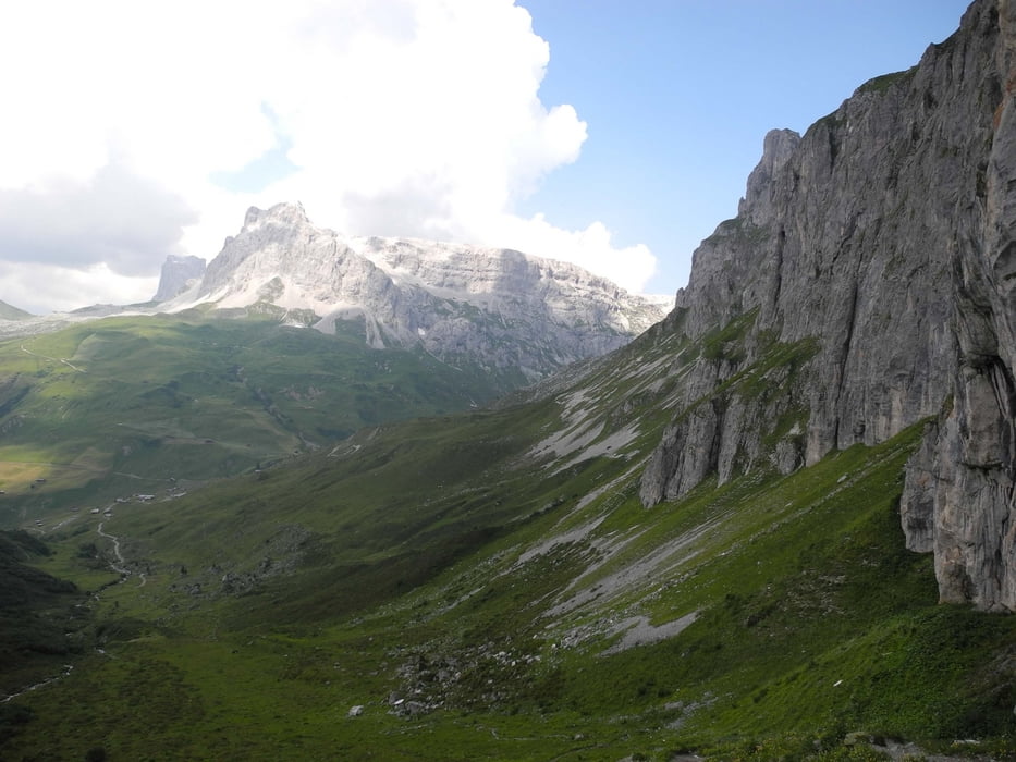
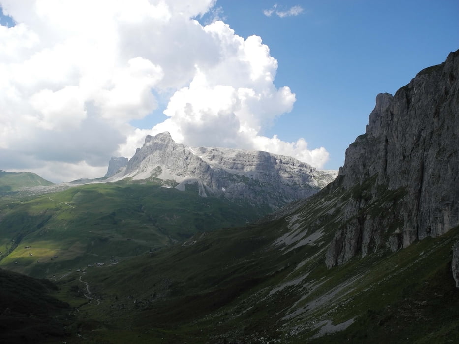
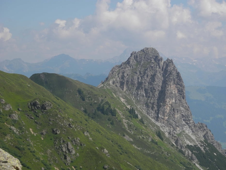
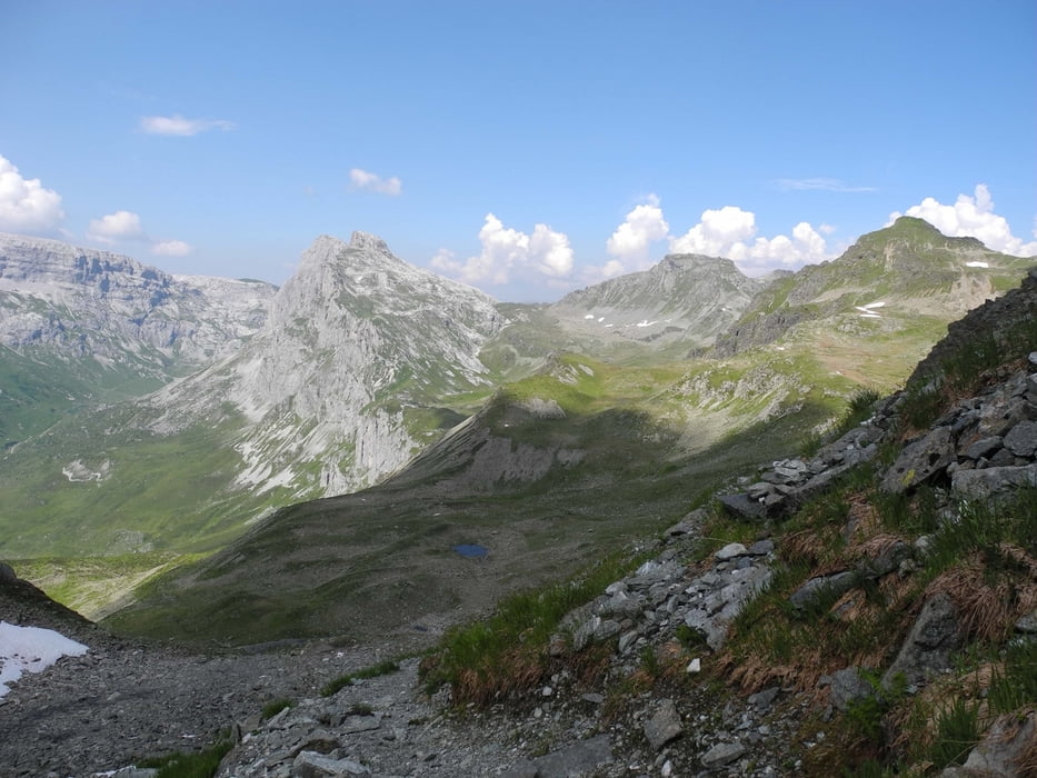
Login

Forgotten password?

Cookies have to be accepted!
Your browser's cookie functionality is disabled. Please enable this functionality.

Not a member yet?

Register now
Login

Available for registred users only

Log in to use this feature.

Forgotten password?

Cookies have to be accepted!
Your browser's cookie functionality is disabled. Please enable this functionality.

Not a member yet?

Register now
Filter
Categories
Advanced filters
  • Distance (km)
  • Height
Save filters Reset filter

TrackRank

QRCode

Technical data

Distance22,5 km Height2059 m Way down920 m Duration07:00 h:m Date24.07.2013
Scores Author Landscape Fun factor Fitness Technique

Statistics

193 Views Scores 6 Downloads Average
Rate
  • Track data sheet
  • Directions
  • Downloads

Tour gallery

Tour map and elevation profile

  • Open Street Map
  • Google
Minimum height 996 m Maximum height 2501 m Detailed view

More about the tour author

xlink
Member since 2010

Send private message

Comments

nasho on 11.08.2021

MTB?

Servus in die Runde!

Hey hast du diese Tour mit dem MTB gemacht?

Ich habe genau dasselbe auf meine MTB Alpencross geplant, und suche nach weitere Infos über diese Strecke.

Danke für deine Rückmeldung!

Viele Grüße

GPS tracks

Trackpoints
  • GPX / Garmin Map Source (gpx) download
  • TCX / Garmin Training Center® (tcx) download
  • CRS / Garmin Training Center® (crs) download
  • Google Earth (kml) download
  • G7ToWin (g7t) download
  • TTQV (trk) download
  • Overlay (ovl) download
  • Fugawi (txt) download
  • Kompass (DAV) Track (tk) download
  • Track data sheet (pdf) download
  • Original file of the author (gpx) download

More about the tour author

xlink
Member since 2010

Send private message
Share track
Add to my favorites
Remove from my favorites
Edit tags
My score
Rate
Track: Latschau - Gargellen Schafberg
Type: Hiking
Distance: 22,5 km
Evaluated on:
Duration:
Day(s)
Hour(s)
Minute(s)
Score: Landscape Fun factor Fitness Technique