Login

Forgotten password?

Cookies have to be accepted!
Your browser's cookie functionality is disabled. Please enable this functionality.

Not a member yet?

Register now
Login

Available for registred users only

Log in to use this feature.

Forgotten password?

Cookies have to be accepted!
Your browser's cookie functionality is disabled. Please enable this functionality.

Not a member yet?

Register now
Filter
Categories
Advanced filters
  • Distance (km)
  • Height
Save filters Reset filter

TrackRank

QRCode

Technical data

Distance56,1 km Height1822 m Way down1800 m Duration05:49 h:m Date25.07.2013
Scores Author Landscape Fun factor Fitness Technique

Statistics

873 Views Scores 74 Downloads Average
Rate
  • Track data sheet
  • Directions
  • Downloads
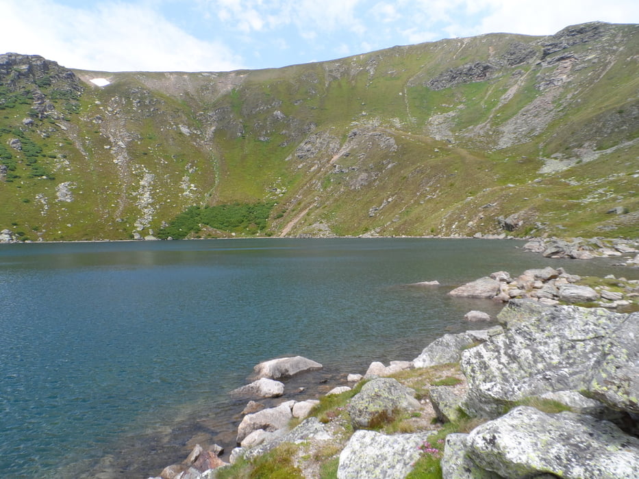
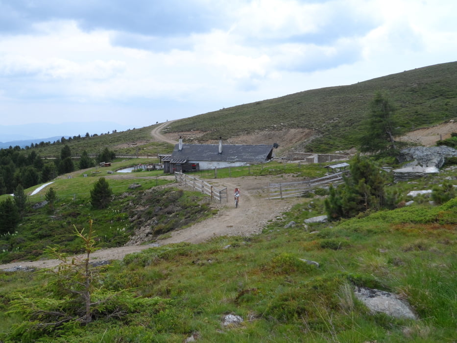
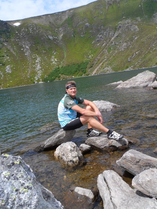
Start ist Reichenfels in Kärnten,an der Grenze zur Steiermark.Die Tour führt an vielen Hütten vorbei.Der Höhepunkt ist der Wildsee,zu diesem muss man ein Stück zu Fuß rauf gehen,es zahlt sich aber jeden Fall aus.......die Tour endet dann wieder in Reichenfels.

Tour gallery

Tour map and elevation profile

  • Open Street Map
  • Google
Minimum height 786 m Maximum height 1987 m Detailed view

More about the tour author

plazo100
Member since 2009

Send private message

Comments

GPS tracks

Trackpoints
  • GPX / Garmin Map Source (gpx) download
  • TCX / Garmin Training Center® (tcx) download
  • CRS / Garmin Training Center® (crs) download
  • Google Earth (kml) download
  • G7ToWin (g7t) download
  • TTQV (trk) download
  • Overlay (ovl) download
  • Fugawi (txt) download
  • Kompass (DAV) Track (tk) download
  • Track data sheet (pdf) download
  • Original file of the author (gpx) download

More about the tour author

plazo100
Member since 2009

Send private message
Share track
Add to my favorites
Remove from my favorites
Edit tags
My score
Rate
Track: Panorama Zirbitzkogel
Type: Mountain bike
Distance: 56,1 km
Evaluated on:
Duration:
Day(s)
Hour(s)
Minute(s)
Score: Landscape Fun factor Fitness Technique