


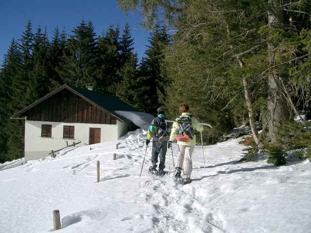
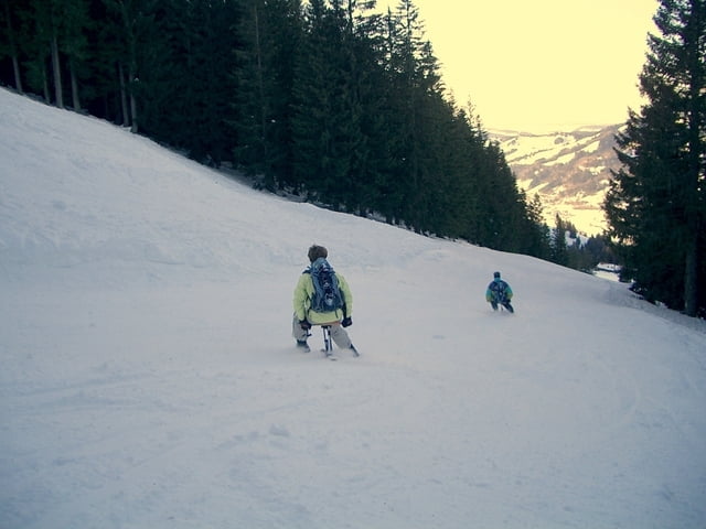
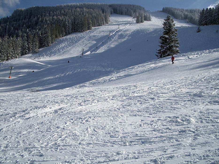
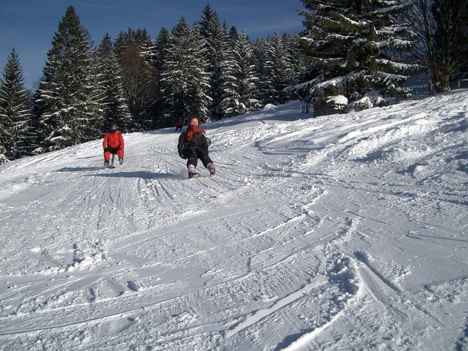
Start bei der Talstation Alpsee Bergwelt. Fahrt mit der Sesselbahn bis zur Bärenfalle. Weiter nun mit Schneeschuhen über Starkatsgrund (mit toller Aussicht auf den Alpsee)vorbei am Gschwendner Horn zum Kemptener Naturfreundehaus. Hier gibts eine gute Einkehr und Sicht auf Stuiben und Nagelfluh. Vom Naturfreundehaus kommen wir nun zur Jagdhütte und weiter teils durch Bergwald zur Gründelalpe und auf dem Grat zur Eckhalde.Entlang der Skiabfahrt gehts nun zur Alpe Obere Kalle. Wieder Entlang der Skipiste kommen wir zur Bärenfalle. Hier gibts die Möglichkeit mit dem Alpsee Coaster (Sommer und Winterrodelbahn)oder Sessellift ins Tal zu fahren.
Einkehrmöglichkeiten gibts bei dieser Tour in der Bärenfalle, im Kemptener Naturfreundehaus und der Oberen Kalle.
Einkehrmöglichkeiten gibts bei dieser Tour in der Bärenfalle, im Kemptener Naturfreundehaus und der Oberen Kalle.
Further information at
http://www.alpsee-bergwelt.deTour gallery
Tour map and elevation profile
Minimum height 771 m
Maximum height 1429 m
More about the tour author
|
|
Bockrider |
Comments

Start und Parkmöglichkeit bei der Talstation Alpsee Bergwelt in Ratholz zwischen Immenstadt und Oberstaufen
GPS tracks
Trackpoints-
GPX / Garmin Map Source (gpx) download
-
TCX / Garmin Training Center® (tcx) download
-
CRS / Garmin Training Center® (crs) download
-
Google Earth (kml) download
-
G7ToWin (g7t) download
-
TTQV (trk) download
-
Overlay (ovl) download
-
Fugawi (txt) download
-
Kompass (DAV) Track (tk) download
-
Track data sheet (pdf) download
-
Original file of the author (gpx) download
More about the tour author
|
|
Bockrider |
Add to my favorites
Remove from my favorites
Edit tags
Open track
My score
Rate