


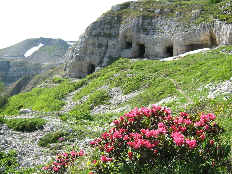
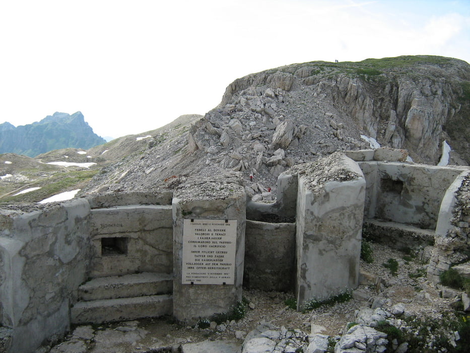
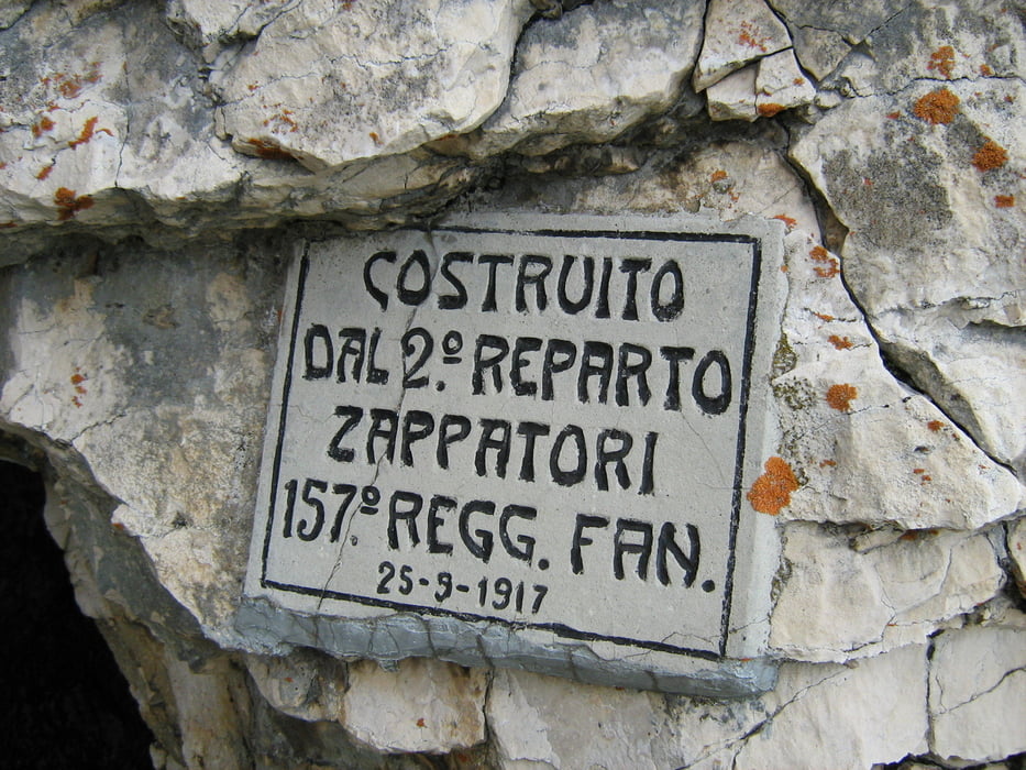
Giro nel cuore della “zona sacra del Pasubio”. Questi luoghi sono stati testimoni di pagine tra le più drammatiche del primo conflitto mondiale: eventi che hanno lasciato cicatrici così profonde su questo territorio da averne cambiato la fisionomia. Oggi il Pasubio è un museo a cielo aperto che regala al visitatore emozioni fortissime.
Itinerario: Giazzera – sentiero SAT 122 – rifugio Lancia – sentiero E5 – cima Palon – selletta comando – sentiero 120 – sentiero 105b – sella delle Pozze – rif. Lancia - Giazzera
Tour gallery
Tour map and elevation profile
Minimum height 1060 m
Maximum height 2234 m
More about the tour author
|
|
FOLAMOUR |
Comments

punto di partenza: Giazzera di Trambileno: da Rovereto prendere la SS46, dopo S. Colombano svoltare a dx in direzione Trambileno (indicazioni per il rifugio Lancia). Superati gli abitati di Moscheri e Boccaldo seguire per la località Giazzera.
GPS tracks
Trackpoints-
GPX / Garmin Map Source (gpx) download
-
TCX / Garmin Training Center® (tcx) download
-
CRS / Garmin Training Center® (crs) download
-
Google Earth (kml) download
-
G7ToWin (g7t) download
-
TTQV (trk) download
-
Overlay (ovl) download
-
Fugawi (txt) download
-
Kompass (DAV) Track (tk) download
-
Track data sheet (pdf) download
-
Original file of the author (gpx) download
More about the tour author
|
|
FOLAMOUR |
Add to my favorites
Remove from my favorites
Edit tags
Open track
My score
Rate