


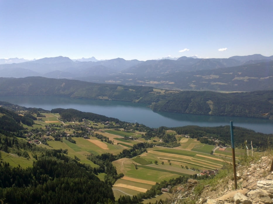
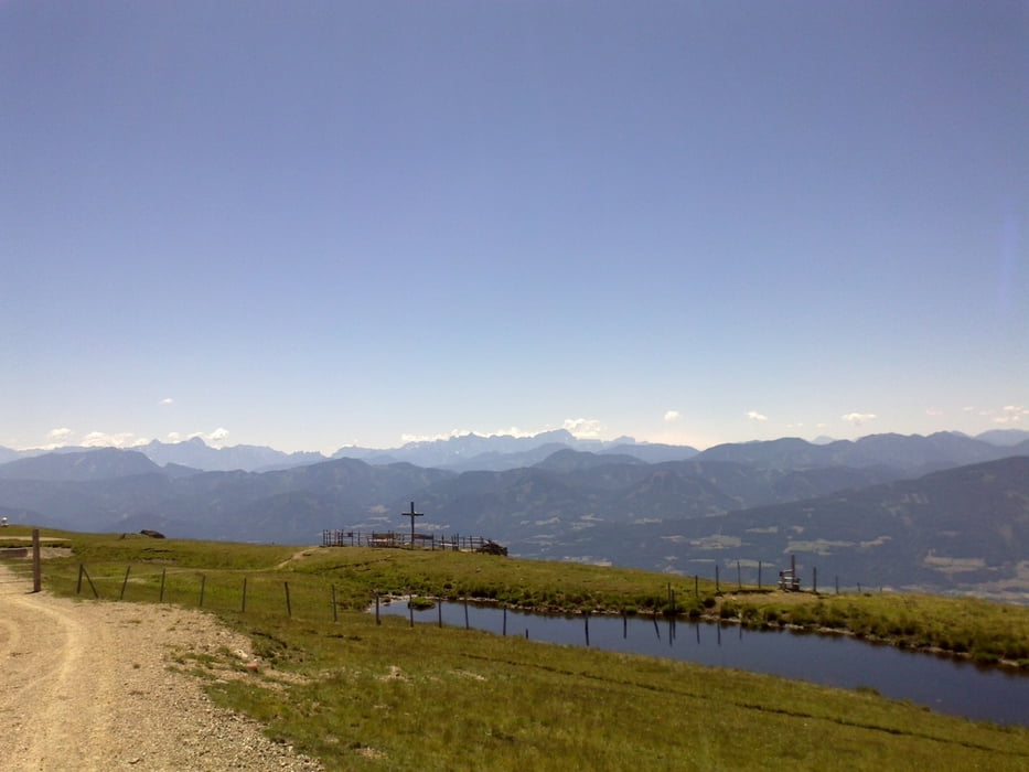
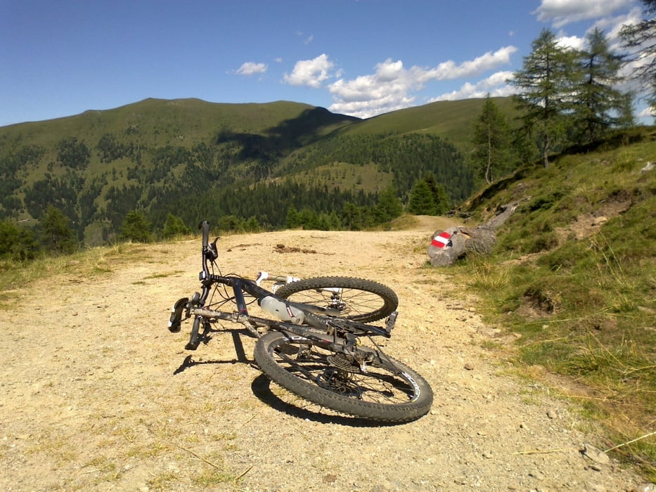
Von Spittal nach Seebach über Kötzing. Dann die Straße entlang bis Obermillstatt. Von da gehts bergauf, zunächst auf Asphalt, aber schon bald beginnt ein schöner Schotterweg bis zum Almkreuz. Wunderbare Aussichten auf den Millstätter See! Die vielen Radverbotstafeln nerven, ein Auto(!)fahrer macht mich auch darauf aufmerksam... Oben kurze Schiebung zum Gipfel der Milltätter Alpe. Herrliches Rundumpanorama! Einkehr in der Millstätter Hütte empfehlenswert. Übers Törl und den Nöhringsattel wieder gute Schotterpiste. Ab Eisentratten über Gmünd auf der Straße leicht bergab, dh. ruckzuck nach Spittal zurück.
Tour gallery
Tour map and elevation profile
Minimum height 551 m
Maximum height 2080 m
More about the tour author
|
|
mitter |
Comments

Start in Spittal beim Spital.
GPS tracks
Trackpoints-
GPX / Garmin Map Source (gpx) download
-
TCX / Garmin Training Center® (tcx) download
-
CRS / Garmin Training Center® (crs) download
-
Google Earth (kml) download
-
G7ToWin (g7t) download
-
TTQV (trk) download
-
Overlay (ovl) download
-
Fugawi (txt) download
-
Kompass (DAV) Track (tk) download
-
Track data sheet (pdf) download
-
Original file of the author (gpx) download
More about the tour author
|
|
mitter |
Add to my favorites
Remove from my favorites
Edit tags
Open track
My score
Rate