
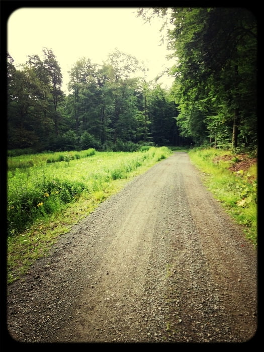

Kleine Tour, die ich in Diekholzen beginne. Durch den Wald Richtung Gronau. An Barfelde vorbei dann weiter nach Burgstemmen, Nordstemmen, Emmerke, Stadtzentrum, Söhre und zurück.
Tour gallery


Tour map and elevation profile
Minimum height 70 m
Maximum height 247 m
More about the tour author
|
|
Diekholzener |
Comments

GPS tracks
Trackpoints-
GPX / Garmin Map Source (gpx) download
-
TCX / Garmin Training Center® (tcx) download
-
CRS / Garmin Training Center® (crs) download
-
Google Earth (kml) download
-
G7ToWin (g7t) download
-
TTQV (trk) download
-
Overlay (ovl) download
-
Fugawi (txt) download
-
Kompass (DAV) Track (tk) download
-
Track data sheet (pdf) download
-
Original file of the author (gpx) download
More about the tour author
|
|
Diekholzener |
Add to my favorites
Remove from my favorites
Edit tags
Open track
My score
Rate