Login

Forgotten password?

Cookies have to be accepted!
Your browser's cookie functionality is disabled. Please enable this functionality.

Not a member yet?

Register now
Login

Available for registred users only

Log in to use this feature.

Forgotten password?

Cookies have to be accepted!
Your browser's cookie functionality is disabled. Please enable this functionality.

Not a member yet?

Register now
Filter
Categories
Advanced filters
  • Distance (km)
  • Height
Save filters Reset filter

TrackRank

QRCode

Technical data

Distance14,7 km Height158 m Way down158 m Duration04:00 h:m Date10.08.2013
Scores Author Landscape Fun factor Fitness Technique

Statistics

1272 Views Scores 30 Downloads Average
Rate
  • Track data sheet
  • Directions
  • Downloads
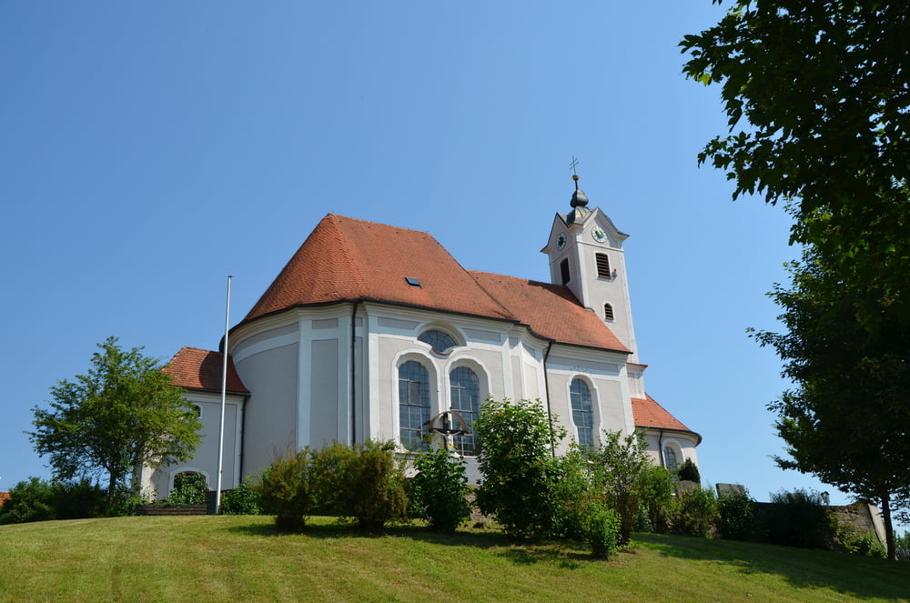
Der Stubenweiher, dazu die Pracht des Schwäbischen Barockwinkels: So könnte man diese reizvolle Wanderung umschreiben. Sie führt von Hammerstetten nach Wettenhausen, dann vom Kammeltal hinüber ins Günztal nach Deubach und Hochwang und schließlich vorbei am reizvollen Stubenweiher zurück nach Hammerstetten. Kultureller Höhepunkt ist zweifellos Wettenhausen mit seinem Kloster.

Tour gallery

Tour map and elevation profile

  • Open Street Map
  • Google
Minimum height 451 m Maximum height 541 m Detailed view

More about the tour author

ulipele
Member since 2011

Send private message

Comments

Start und Ziel der Tour ist in Hammerstetten

GPS tracks

Trackpoints
  • GPX / Garmin Map Source (gpx) download
  • TCX / Garmin Training Center® (tcx) download
  • CRS / Garmin Training Center® (crs) download
  • Google Earth (kml) download
  • G7ToWin (g7t) download
  • TTQV (trk) download
  • Overlay (ovl) download
  • Fugawi (txt) download
  • Kompass (DAV) Track (tk) download
  • Track data sheet (pdf) download
  • Original file of the author (gpx) download

More about the tour author

ulipele
Member since 2011

Send private message
Share track
Add to my favorites
Remove from my favorites
Edit tags
My score
Rate
Track: Stubenweiher und Schwäbischer Barockwinkel Landkreis Günzburg Mittelschwäbische Nachrichten Augsburger Allgemeine Wanderserie Wander mit
Type: Hiking
Distance: 14,7 km
Evaluated on:
Duration:
Day(s)
Hour(s)
Minute(s)
Score: Landscape Fun factor Fitness Technique