
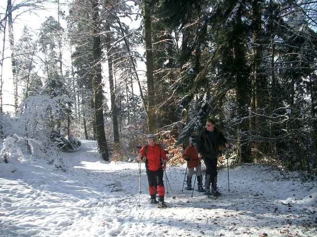

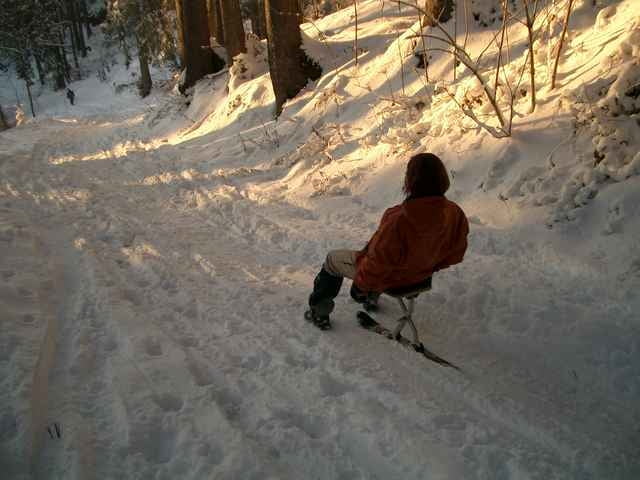
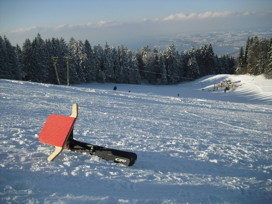
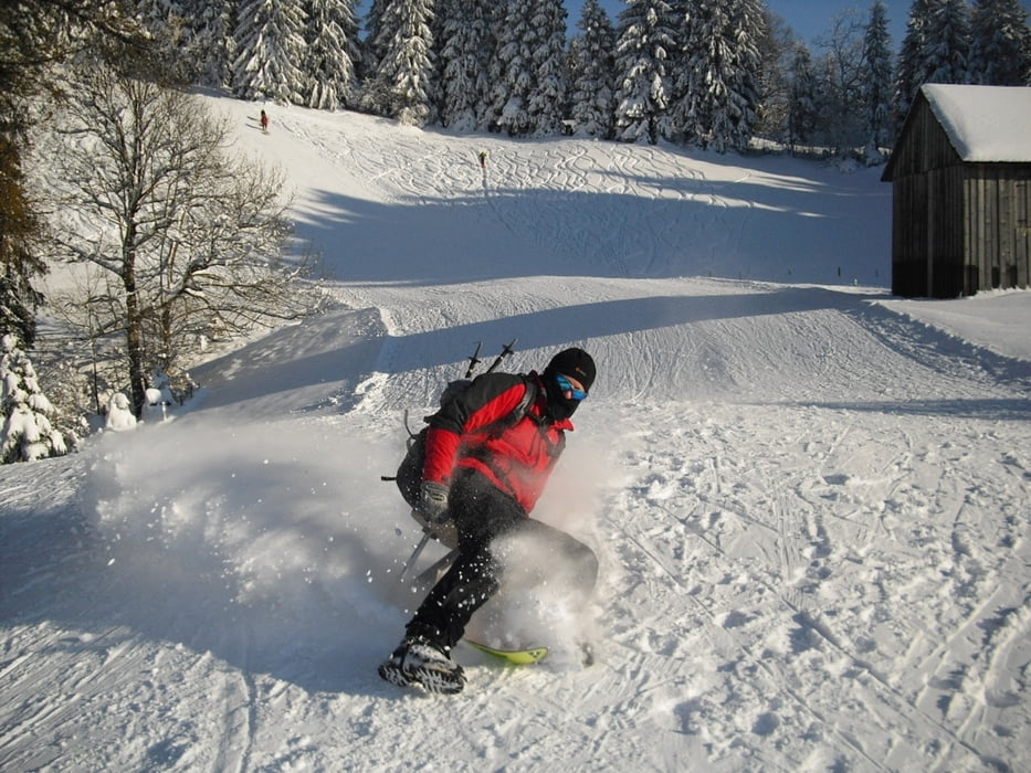
Start bei der Talstation Pfänderbahn in Bregenz. Weiter auf Wanderweg "Gschlief" kommen wir über Halbstation, Hintermoos zum Gasthaus Pfänderdohle. Hier gibts eine Einkehrmöglichkeit mit Sonnenbad. Der Rückweg mit dem Schlitten geht nun erst Richtung Fluh. Weiter kommen wir teils auf Skiabfahrt zur Talstation.
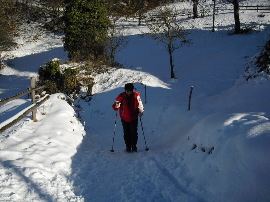
Bergauf können die Wege evtl. vereist sein, deshalb sind Schneeschuhe oder Grödel für diese Tour empfehlenswert.
Further information at
http://www.pfaenderbahn.atTour gallery
Tour map and elevation profile
Minimum height 412 m
Maximum height 1023 m
More about the tour author
|
|
Bockrider |
Comments

In Bregenz zur Talstation Pfänderbahn. Parken vor oder bei der Pfänderbahn. (Sa. Mittag und Sonntag kostenlos)
GPS tracks
Trackpoints-
GPX / Garmin Map Source (gpx) download
-
TCX / Garmin Training Center® (tcx) download
-
CRS / Garmin Training Center® (crs) download
-
Google Earth (kml) download
-
G7ToWin (g7t) download
-
TTQV (trk) download
-
Overlay (ovl) download
-
Fugawi (txt) download
-
Kompass (DAV) Track (tk) download
-
Track data sheet (pdf) download
-
Original file of the author (gpx) download
More about the tour author
|
|
Bockrider |
Add to my favorites
Remove from my favorites
Edit tags
Open track
My score
Rate