Login

Forgotten password?

Cookies have to be accepted!
Your browser's cookie functionality is disabled. Please enable this functionality.

Not a member yet?

Register now
Login

Available for registred users only

Log in to use this feature.

Forgotten password?

Cookies have to be accepted!
Your browser's cookie functionality is disabled. Please enable this functionality.

Not a member yet?

Register now
Filter
Categories
Advanced filters
  • Distance (km)
  • Height
Save filters Reset filter

TrackRank

QRCode

Technical data

Distance19,0 km Height336 m Way down308 m Duration02:01 h:m Date18.11.2007
Scores Author Landscape Fun factor Fitness Technique

Statistics

7042 Views Scores 77 Downloads Average
Rate
  • Track data sheet
  • Directions
  • Downloads
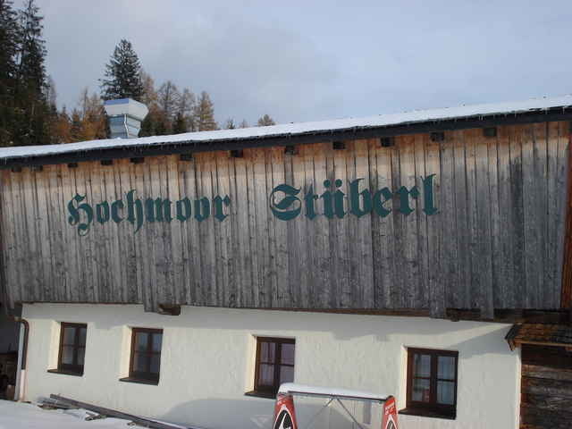
Einstieg, in die schon jetzt besten präparierte Hochmoor Höhenloipe, direkt an der Pass Thurn Bundesstrasse - Gasthaus Tauernblick.

Further information at

http://www.loipenflitzer.at

Tour gallery

Tour map and elevation profile

  • Open Street Map
  • Google
Minimum height 1158 m Maximum height 1233 m Detailed view

More about the tour author

siol
Member since 2007

Send private message

Comments

GPS tracks

Trackpoints
  • GPX / Garmin Map Source (gpx) download
  • TCX / Garmin Training Center® (tcx) download
  • CRS / Garmin Training Center® (crs) download
  • Google Earth (kml) download
  • G7ToWin (g7t) download
  • TTQV (trk) download
  • Overlay (ovl) download
  • Fugawi (txt) download
  • Kompass (DAV) Track (tk) download
  • Track data sheet (pdf) download
  • Original file of the author (gpx) download

More about the tour author

siol
Member since 2007

Send private message
Share track
Add to my favorites
Remove from my favorites
Edit tags
My score
Rate
Track: Hochmoor - Höhenloipe Mittersill Pass-Thurn
Type: Cross-country skiing
Distance: 19,0 km
Evaluated on:
Duration:
Day(s)
Hour(s)
Minute(s)
Score: Landscape Fun factor Fitness Technique