


Fahrradtour Finkenwerder-Wilhelmsburg
Die Tour startet am Rüschpark in Finkenwerder
Wir fahren an der Elbe Richtung Waltershof. Am Ortsausgang Finkenwerder benutzen wir den Fahrradweg auf der rechten Seite. Am Genter Ufer wechseln wir auf den linken Fahrradweg sonst lässt sich später die Strasse nicht mehr queren.
Weiter auf dem linken Fahrradweg unter der A7 bis zum Fähranleger Waltershof.
Mit der HADAG Hafen-Fährlinie Nr. 61 zum Anleger Neuhof auf die Elbinsel Wilhelmsburg.
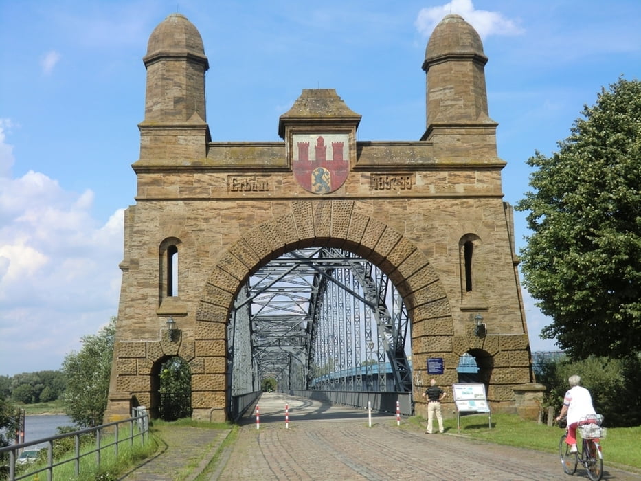
Unterhalb der Köhlbrandbrücke bis zum Bürgerhaus. An der Neuenfelder Strasse nähe S-Bahn Wilhelmsburg scharf rechts runter an die Bahnlinie bis zur alten Harburger Elbbrücke.
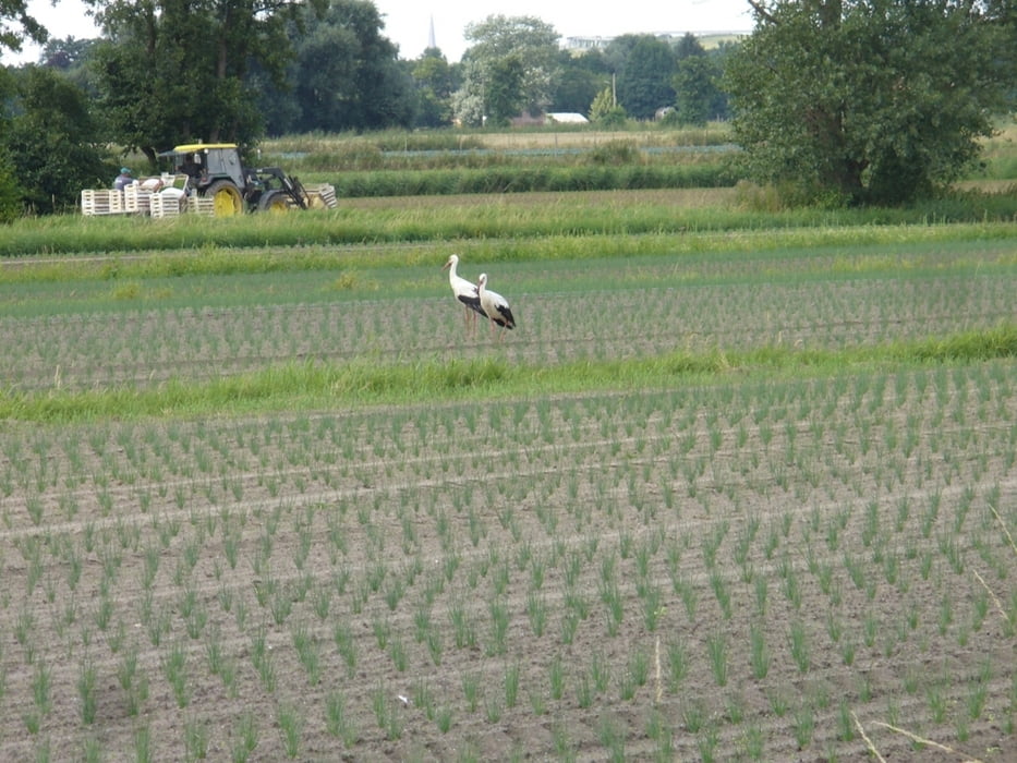
Wir überqueren die Brücke und fahren auf den Neuländer Hauptdeich bis zur Autobahnbrücke Stillhorn. Auf dem Fahrradweg neben der Autobahn überqueren wir zum zweiten Mal die Süderelbe. Auf dem Stillhorner Hauptdeich kommen wir nach Moorwerder, mit der Möglichkeit das Tiedeauenzentrum Bunthaus zu besichtigen.
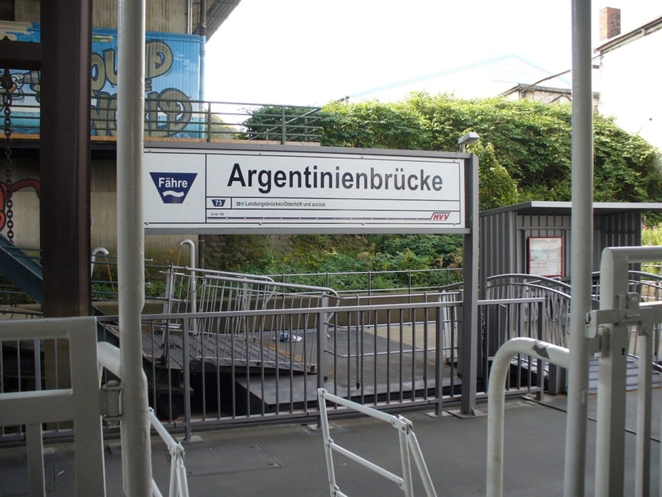
An der Norderelbe geht es zurück über Georgswerder zum Fähranleger Argentinienbrücke.
Die Fährlinie 73 bringt uns nach Landungsbrücken und weiter mit der Fährlinie 62 nach Finkenwerder. Die Fahrräder können kostenlos mit den Fährlinien transportiert werden
Tour gallery
Tour map and elevation profile
Minimum height -47 m
Maximum height 18 m
More about the tour author
|
|
Bikepaul_Jork |
Comments

GPS tracks
Trackpoints-
GPX / Garmin Map Source (gpx) download
-
TCX / Garmin Training Center® (tcx) download
-
CRS / Garmin Training Center® (crs) download
-
Google Earth (kml) download
-
G7ToWin (g7t) download
-
TTQV (trk) download
-
Overlay (ovl) download
-
Fugawi (txt) download
-
Kompass (DAV) Track (tk) download
-
Track data sheet (pdf) download
-
Original file of the author (gpx) download
More about the tour author
|
|
Bikepaul_Jork |
Add to my favorites
Remove from my favorites
Edit tags
Open track
My score
Rate