


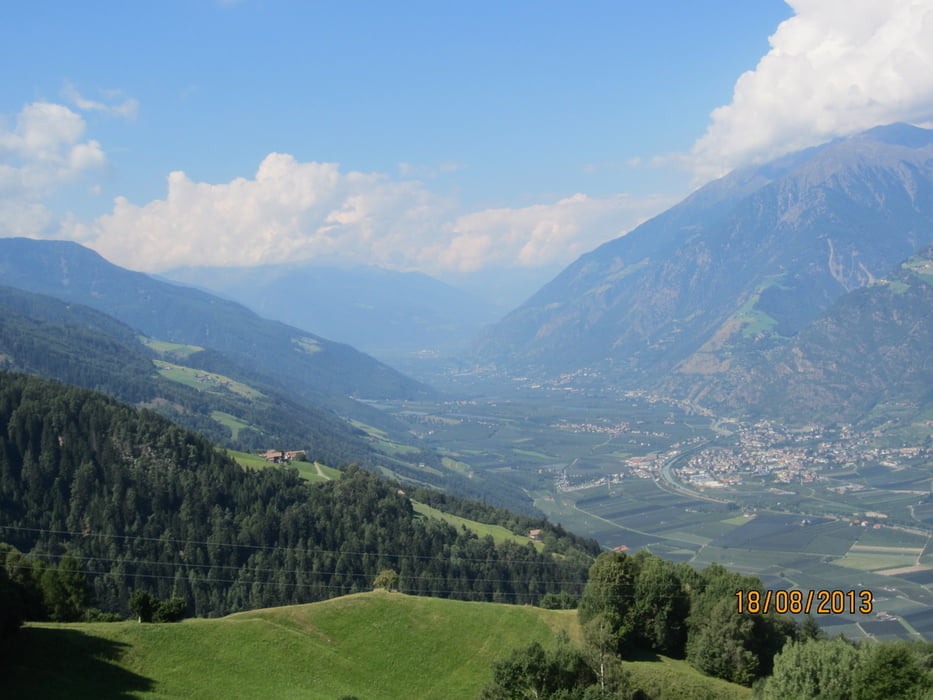
- Rundkurs im Uhrzeigersinn auf den Hängen des Vigiljoch, vom Ultental in den Vinschgau.
- KM 17,2-MH 1.350 Pawigl, auf geteerten Haupt und Nebenstrassen (mittlere Steigung)
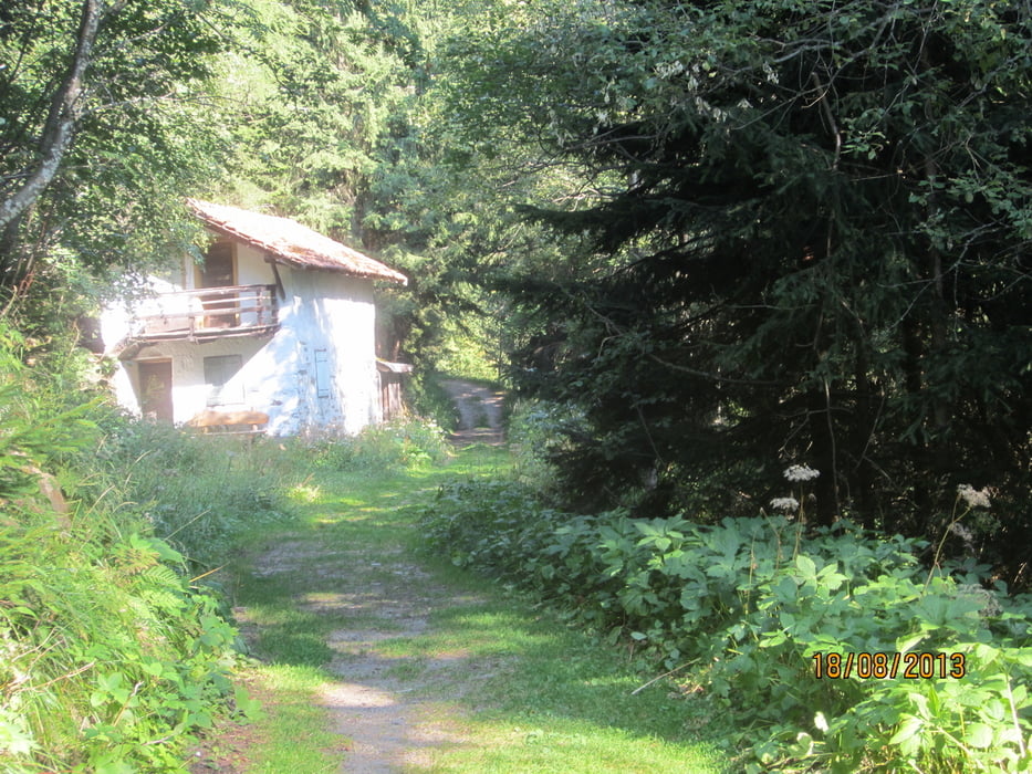
- KM 20,6-MH 1.447 Einfahrt in den Eggersteig, welcher in leichter Abfahrt, über den Almboden MH 1.348-KM 23,4, zum Gasthof Eggerhof MH 1.278-KM 24,3 führt.
- Auf Forstweg nach Aschbach KM 30-MH 1.350. Von dort auf ruhiger Teerstrasse/Radweg zurück zum Ausgangspunkt.
- Rundum-Panorama.
- Start/Ziel: Meran/Marling, Marlingerbrücke, Piccolo Hotel, öffentlicher Parkplatz.
Tour gallery

Tour map and elevation profile
Minimum height 231 m
Maximum height 1462 m
More about the tour author
|
|
MargesinFriedrich |
Comments

GPS tracks
Trackpoints-
GPX / Garmin Map Source (gpx) download
-
TCX / Garmin Training Center® (tcx) download
-
CRS / Garmin Training Center® (crs) download
-
Google Earth (kml) download
-
G7ToWin (g7t) download
-
TTQV (trk) download
-
Overlay (ovl) download
-
Fugawi (txt) download
-
Kompass (DAV) Track (tk) download
-
Track data sheet (pdf) download
-
Original file of the author (gpx) download
More about the tour author
|
|
MargesinFriedrich |
Add to my favorites
Remove from my favorites
Edit tags
Open track
My score
Rate