


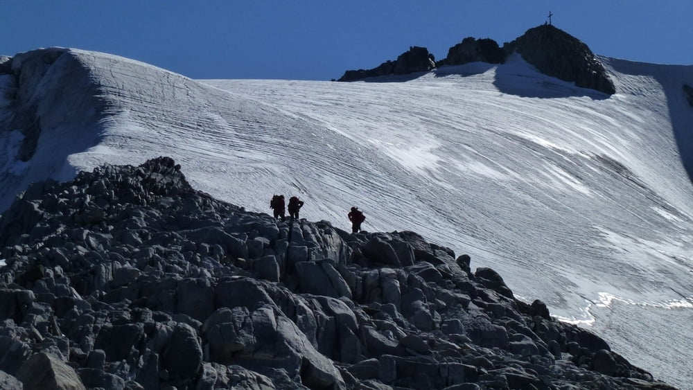
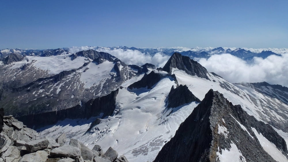
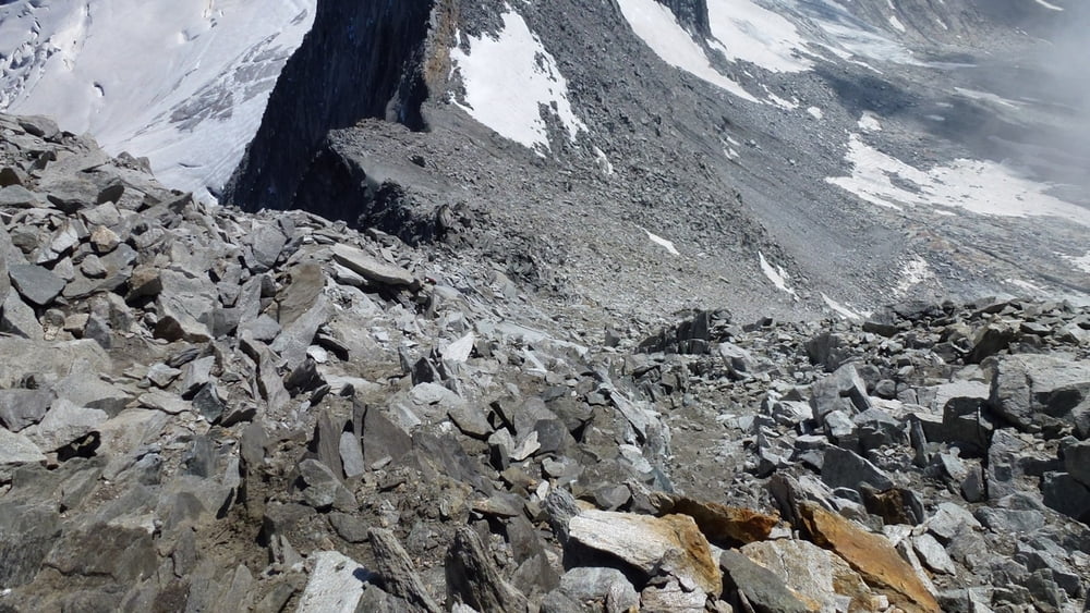
Vom Furtschaglhaus dem Wegweiser folgend bis zum Anseilplatz am Gletscher. Auf diesem ansteigend bis zum markanten Felsköpfl. Ab hier Kletterei entlang der Rippe (keine Steinmänner, keine Markierungen) dem leichtesten Weg folgend (selten II und selten ausgesetzt) hinauf zum oberen Eisfeld. Nun direkt empor zum Gipfel. Abstieg über zum Teil loses Blockwerk zuerst zur Scharte zwischen Großem und Kleinem Möseler und weiter hinab nach Süden zum Gletscher (bzw. was von diesem noch übrig ist.) Keine Steigeisen auf diesem mehr erforderlich. Den zahlreichen Steinmännern folgend bis man auf den Neveser Höhenweg trifft. Diesem folgend zur Rif. Porro bzw. Chemnitzer Hütte.
Tour gallery
Tour map and elevation profile
Minimum height 2262 m
Maximum height 3428 m
More about the tour author
|
|
maischmicha |
Comments

GPS tracks
Trackpoints-
GPX / Garmin Map Source (gpx) download
-
TCX / Garmin Training Center® (tcx) download
-
CRS / Garmin Training Center® (crs) download
-
Google Earth (kml) download
-
G7ToWin (g7t) download
-
TTQV (trk) download
-
Overlay (ovl) download
-
Fugawi (txt) download
-
Kompass (DAV) Track (tk) download
-
Track data sheet (pdf) download
-
Original file of the author (gpx) download
More about the tour author
|
|
maischmicha |
Add to my favorites
Remove from my favorites
Edit tags
Open track
My score
Rate